


- January 12, 2004 (2.9 Mb JPEG)
- November 7, 2003(2.7 Mb JPEG)
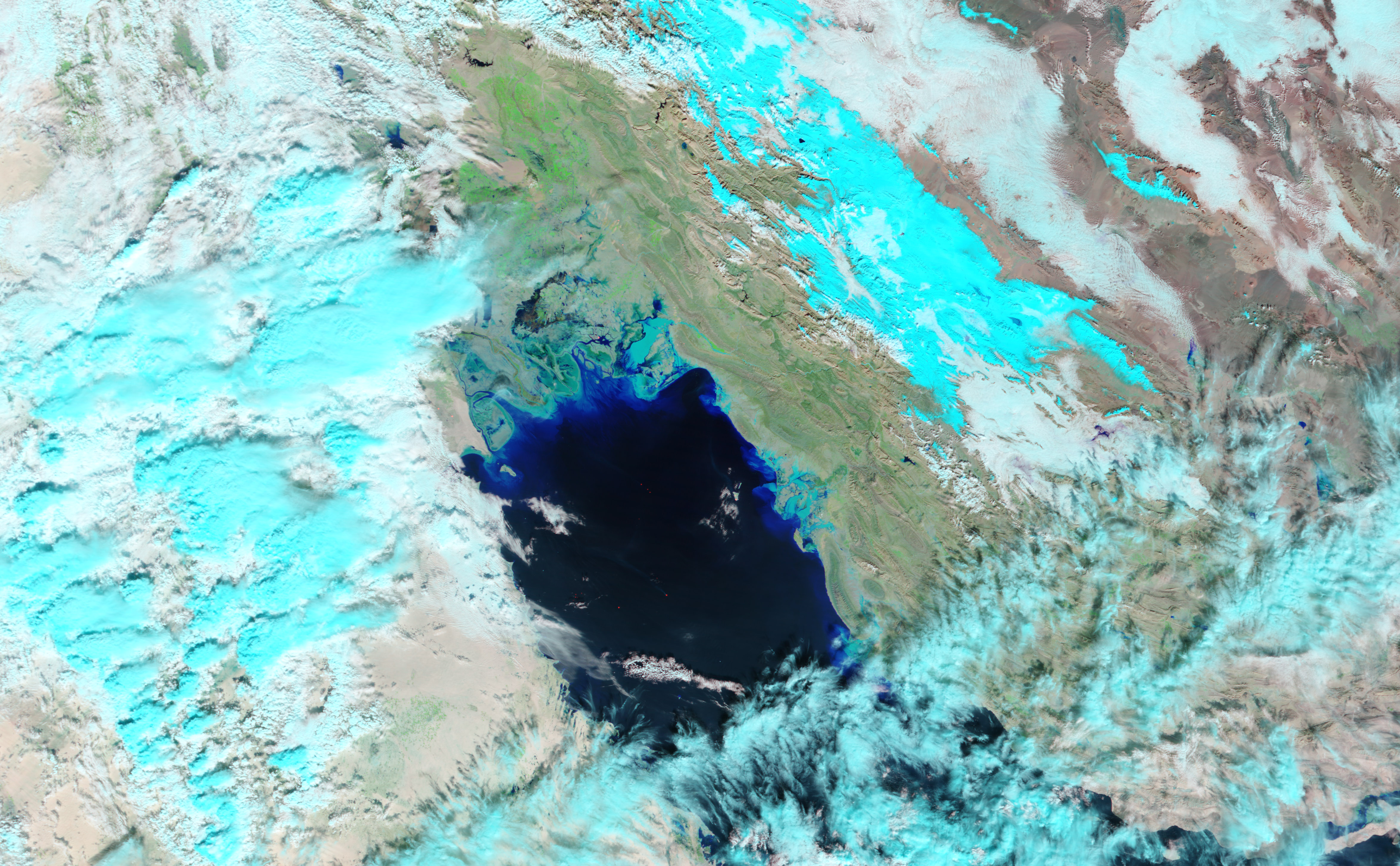
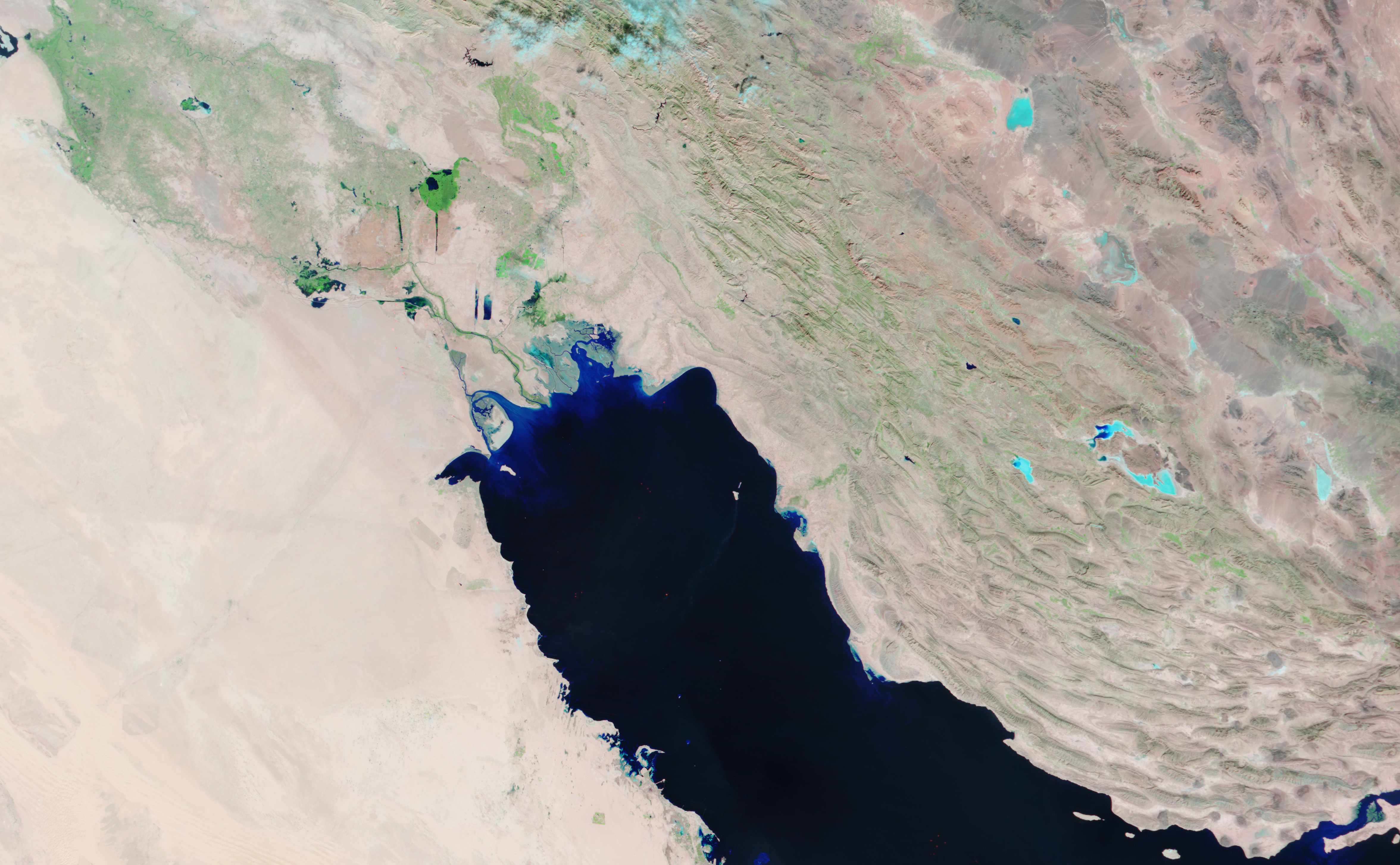
Two days of intense rain filled the rivers and marshlands of southwestern Iran and southeastern Iraq with pools of water, seen in varying shades of blue in the Moderate Resolution Imaging Spectroradiometer (MODIS) image taken on January 12, 2004, top. In contrast, the image acquired on November 7, 2003, bottom, is dominated by dry, bare ground, seen as pink in the false-color image. A band of green marks the path of the Shatt al Arab from the confluence of the Tigris and Euphrates Rivers into the northern tip of the Persian Gulf. Flood waters and clouds blur the Riverâs path in the flood image.
The same storm flooded much of Iranâs western coastal region, claiming the lives of at least six people. To the northwest, over 8000 have been forced to flee as irrigation canals in the marshlands around Nasiriya, Iraq overflow.
The high-resolution images provided above are at MODISâ maximum resolution of 250 meters per pixel.
References & Resources
Image courtesy Jesse Allen, based on data from the MODIS Rapid Response Team at NASA GSFC


