


- April 8, 2006 (2.42 MB)
- March 1, 2006 (3.35 MB)
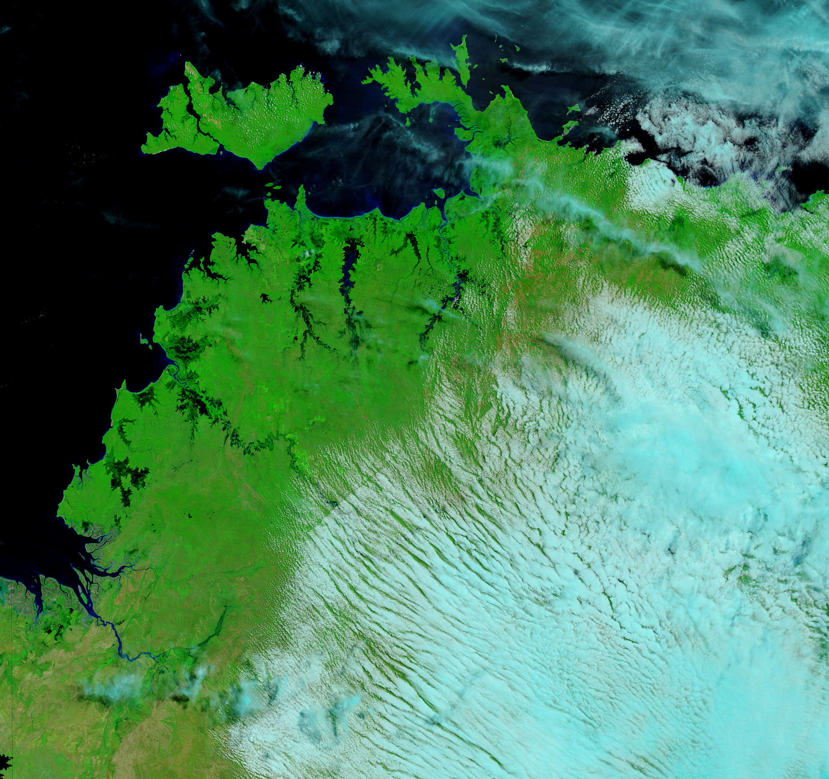
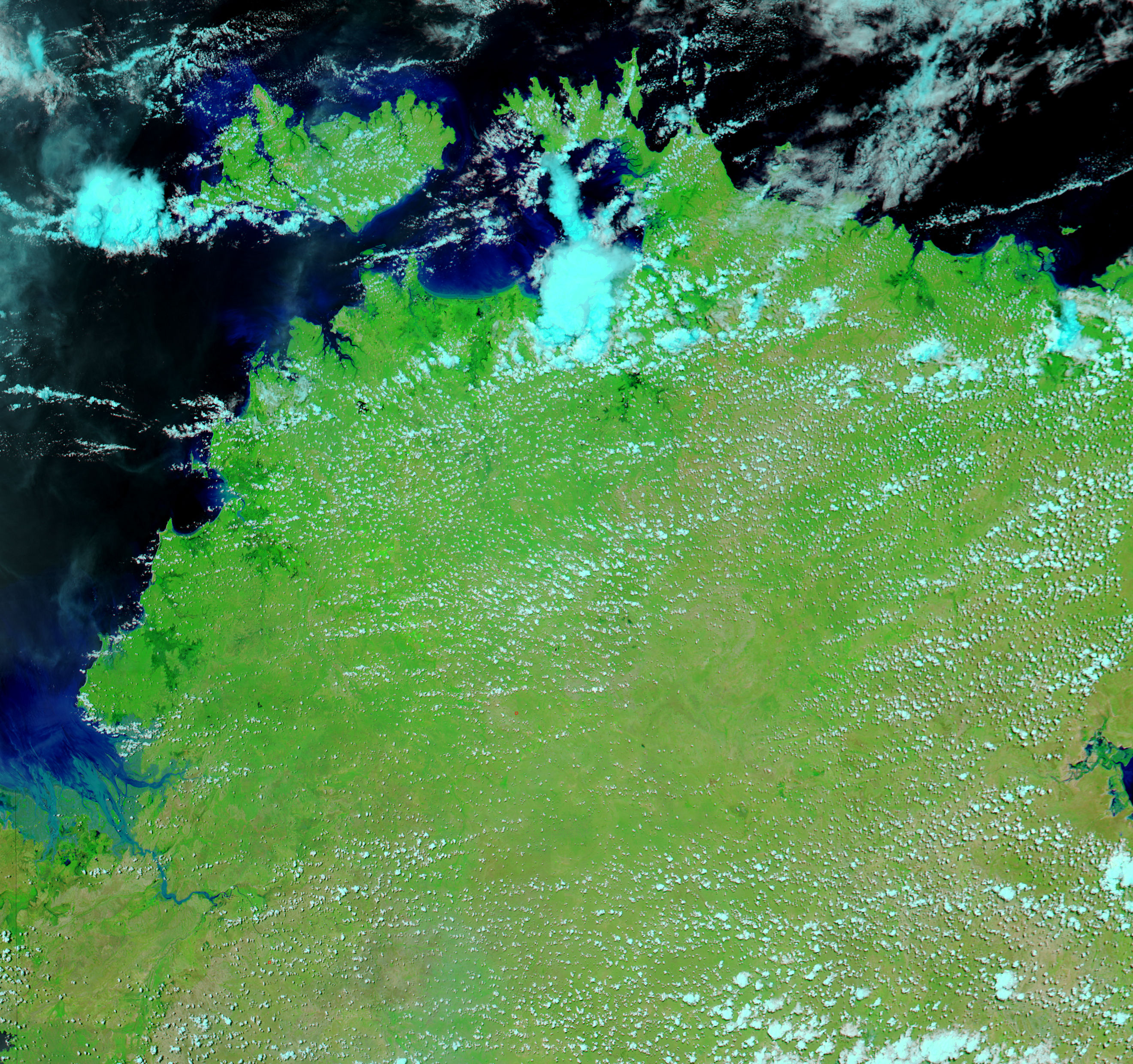
Northern Australia typically experiences two seasons: wet and dry. The six-month rainy season was wrapping up when torrential rains triggered extensive floods in the Northern Territory in early April 2006. Dark rivers of water measuring kilometers across snaked towards the coast on April 8, 2006, top image, to cover land that had been dry one month earlier. The Moderate Resolution Imaging Spectroradiometer (MODIS) on NASA’s Terra satellite captured the top image, while MODIS on the Aqua satellite acquired the lower image. Both images show the northern tip of Australia’s Northern Territory in false color to highlight the presence of water. In these images, water is black and dark blue, clouds are pale blue, and vegetation is green. Not only did the rain trigger floods, but it also nourished plants. Vegetation is far denser in the top image than it had been in March.
Daily images of Australia are available from the MODIS Rapid Response Team.
References & Resources
NASA images courtesy the MODIS Rapid Response Team at NASA GSFC.


