- July 6, 2004 (1.4 M)
- May 10, 2004 (1.3 M)
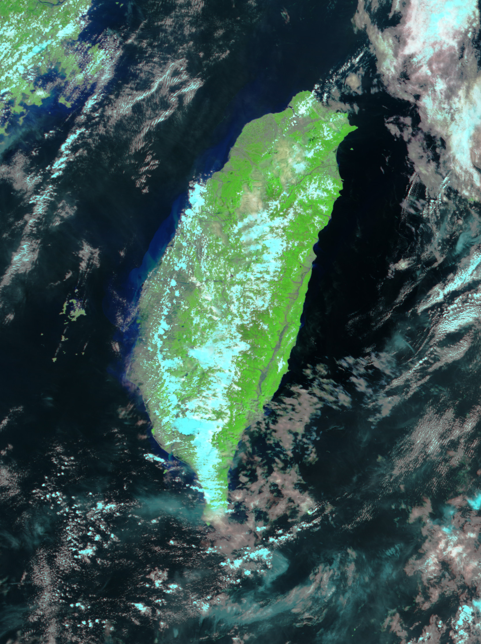
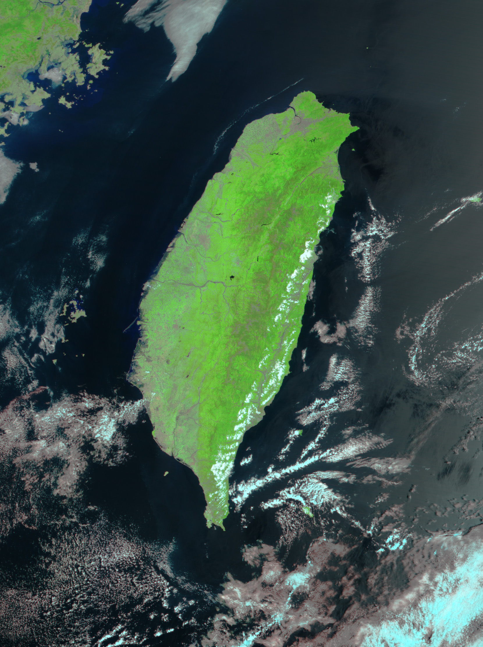
As Typhoon Mindulle swiped Taiwan, it brought nearly a yearâs worth of rain to the south and central regions of the country. The ensuing floods are the worst the country has seen in 25 years. This image, acquired by the Moderate Resolution Imaging Spectroradiometer (MODIS) on NASAâs Terra satellite on July 6, 2004, shows the swollen Luyeh Hui River running parallel to Taiwanâs southeast coast. Widespread flooding is visible beneath the clouds in central Taiwan and along the west coast in the large image, where water forms several dark blue smudges against the green vegetation in the false-color treatment.
Local news reports say that 22 people have died and 14 were still missing on July 6. Floods and mudslides have stranded between 10,000 and 20,000 people in the central and southern mountains without food or clean water. The floods have also damaged bridges, hydroelectric plants, and agriculture. Taiwanâs Council of Agriculture estimates that the floods have caused over $150 million (U.S.) in damage to farms.
References & Resources
Image courtesy Jesse Allen, based on data from the MODIS Rapid Response Team at NASA GSFC.