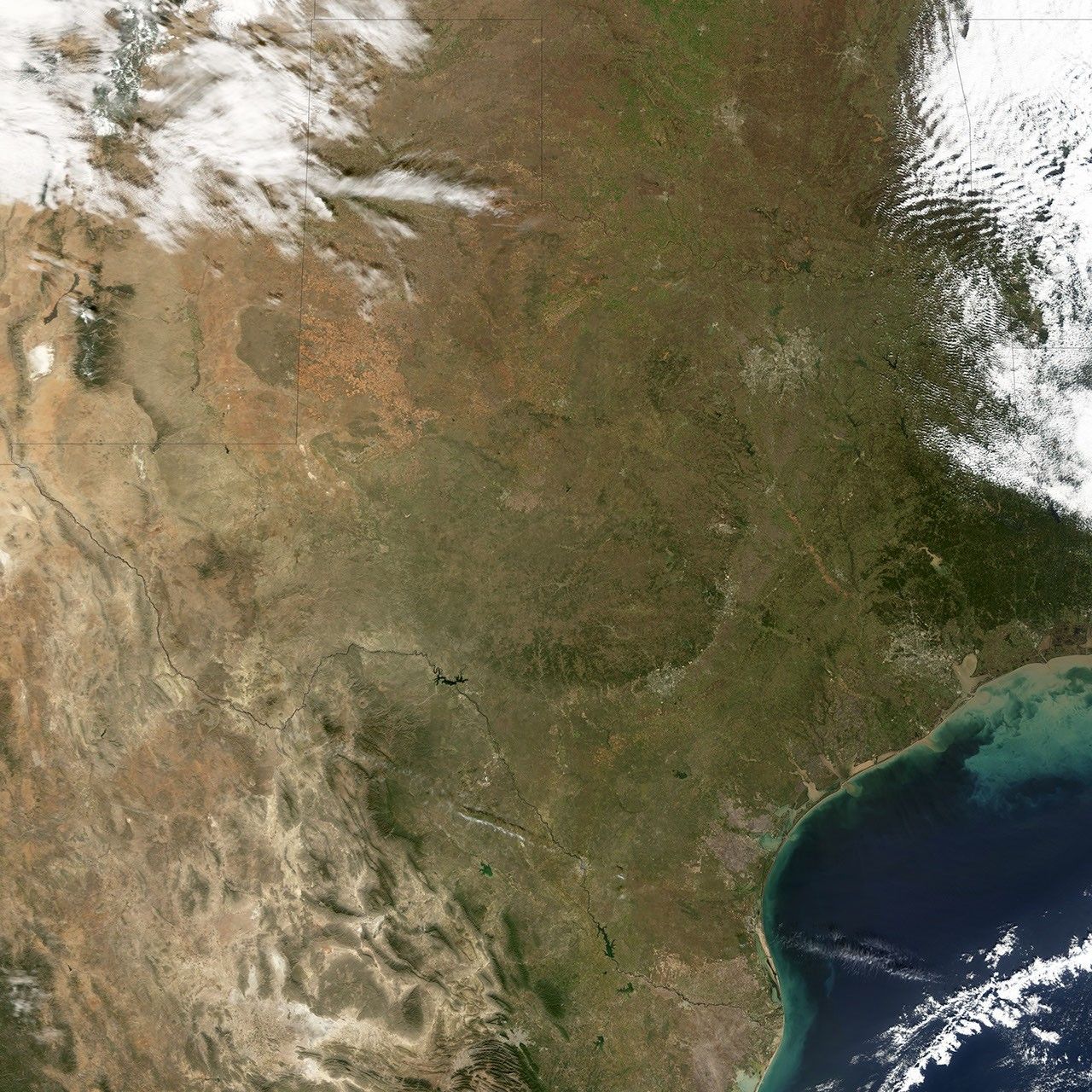
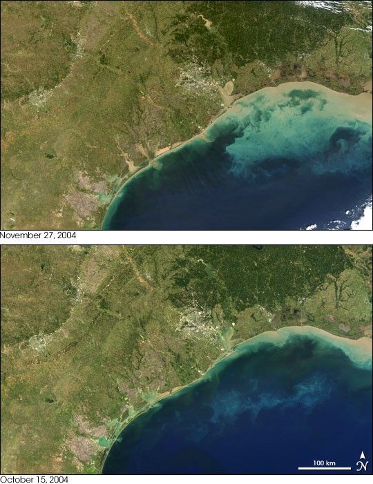
- November 27, 2004 (3.0 Mb)
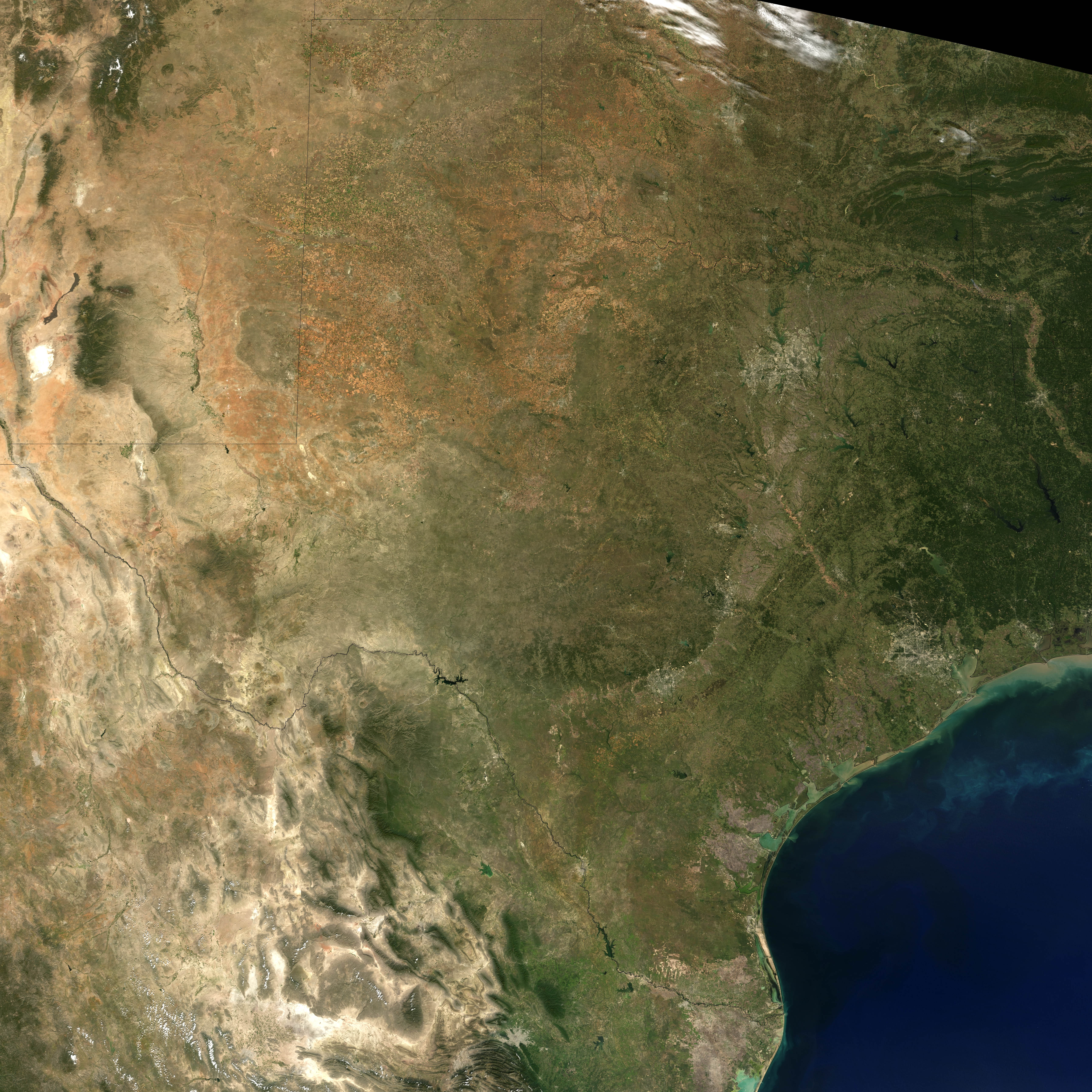
- October 15, 2004 (3.4 Mb)
Swirls of brown sediment sweep out from the shore of Texas into the Gulf of Mexico after a month of heavy rain triggered floods throughout the state. The draining rain has also carried mud into the rivers and lakes of southern Texas. Water that was clear on October 15, 2004, when the Moderate Resolution Imaging Spectroradiometer (MODIS) acquired the lower image, was a cloudy brown on November 27. After pouring into the Gulf of Mexico, the sediment disperses, turning the water a milky green. Houston is visible in the top center of the images. The city forms a bright grayish white circular region that seems to radiate out like spokes in a wheel. The smaller city to its left is San Antonio.
References & Resources
NASA image created by Jesse Allen, Earth Observatory, using data obtained from the MODIS Rapid Response team and the Goddard Land Processes DAAC.