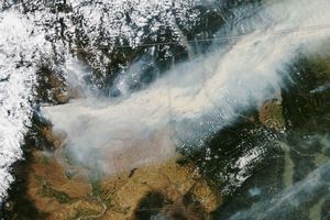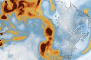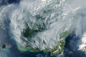

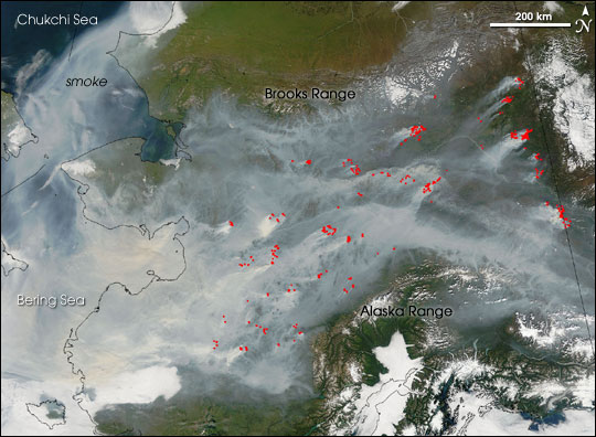
On August 14, 2005, the Moderate Resolution Imaging Spectroradiometer (MODIS) on NASA’s Terra satellite captured this stunning image of forest fires raging across the width of Alaska. Smoke from scores of fires (marked in red) filled the state’s broad central valley and poured out to sea. Hemmed in by mountains to the north and the south, the smoke spreads westward and spills out over the Bering and Chukchi Seas (image left). More than a hundred fires were burning across the state as of August 14.
Air quality warnings have been issued for about 90 percent of the Interior, according to the August 12 report from the Alaska Department of Environmental Conservation's Division of Air Quality. Conditions have ranged from “very unhealthy” to “hazardous ” over the weekend in many locations, including Fairbanks. A large area of high atmospheric pressure spread over much of the state, keeping temperatures high and reducing winds that would clear the air.
The high-resolution image provided above has a spatial resolution of 250 meters per pixel. The MODIS Rapid Response System provides this image at
References & Resources
NASA image courtesy the MODIS Rapid Response Team, Goddard Space Flight Center