


![Request for Information – Potential [Placeholder for Prize]](https://assets.science.nasa.gov/dynamicimage/assets/science/missions/a-step/FFR_Earth_Background_20251120%20.png?w=1024)


March 4, 2005
- March 4, 2005 (Terra MODIS; 1.3 MB)
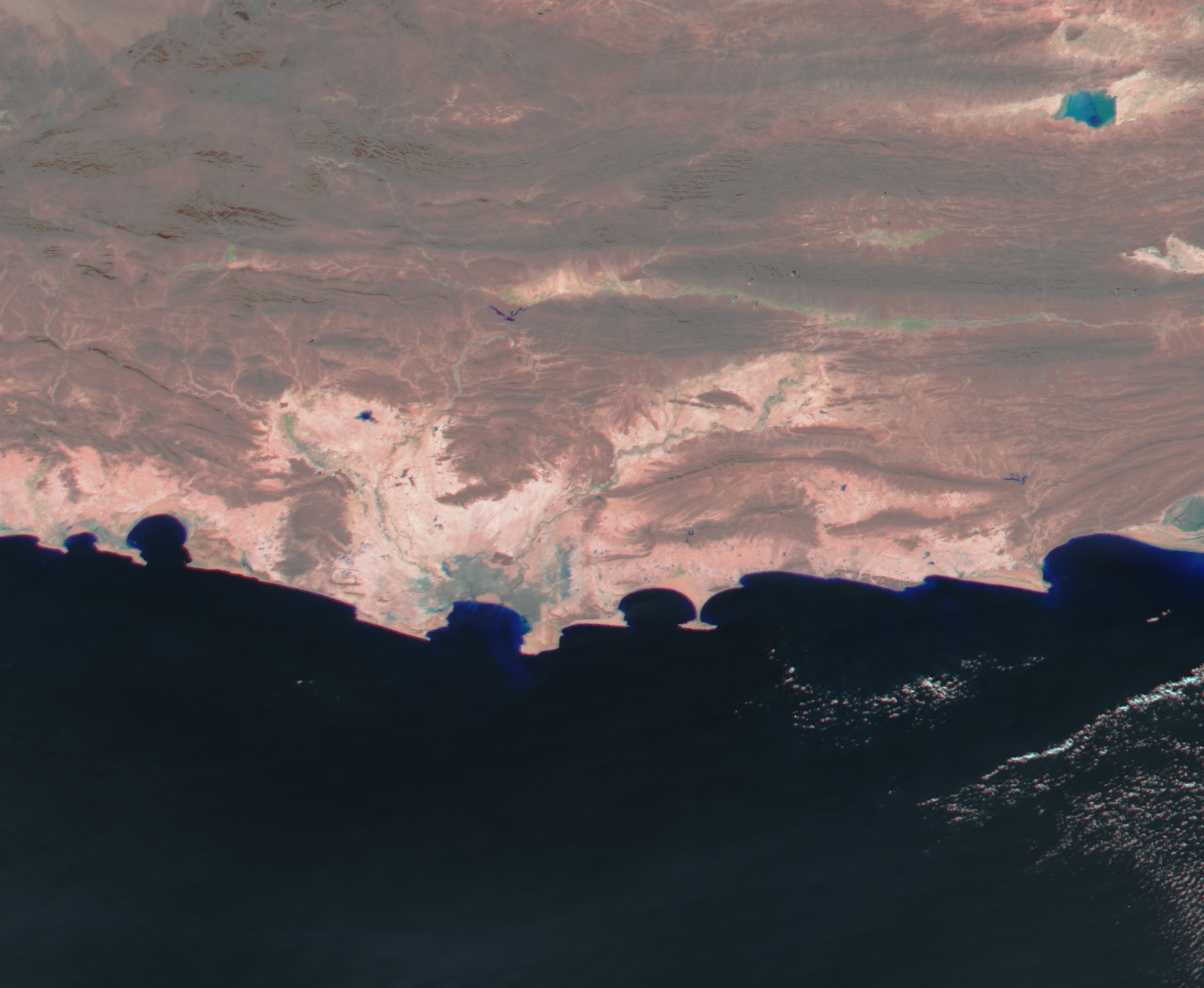
- February 6, 2005 (Aqua MODIS; 1.1 MB)
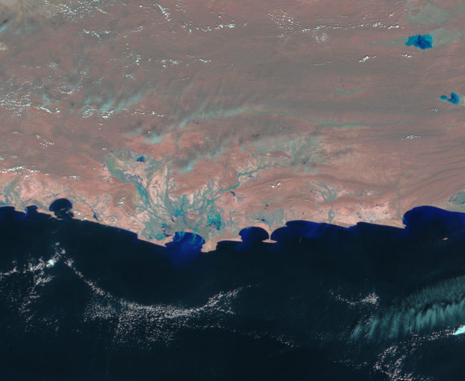
Ongoing rain continues to flood southern Pakistan. On March 4, 2005, the Moderate Resolution Imaging Spectroradiometer (MODIS) on NASA’s Terra satellite captured the top image of the taxed Dasht and Koja River basins. Sediment-laden water is light blue in contrast to the pink of the surrounding soil. Compared to February 6, the entire region is sodden with flood water. Flooding continues along the coast as well, particularly near Gwadar, where the Akra Kaur dam has overflowed. The flooded reservoir submerged several villages and cut Gwadar off from the rest of the country.
References & Resources
NASA image created by Jesse Allen, Earth Observatory, using data obtained from the MODIS Rapid Response team, and the Goddard Land Processes DAAC.


