![Request for Information – Potential [Placeholder for Prize]](https://assets.science.nasa.gov/dynamicimage/assets/science/psd/solar/2023/09/s/solarsystem_0.jpg?w=1024)


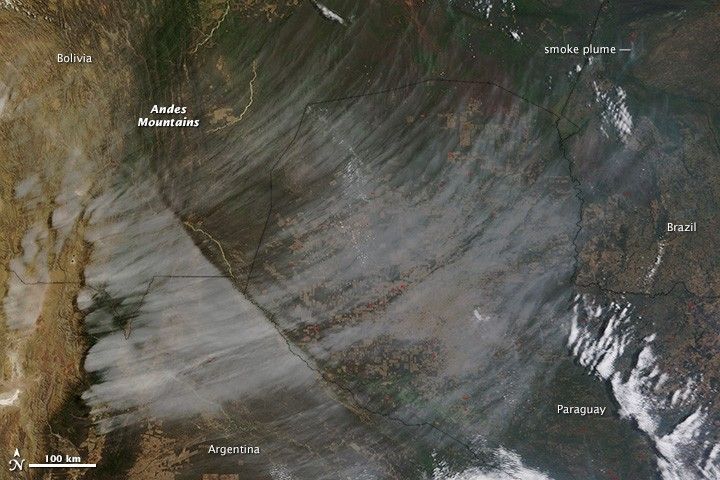
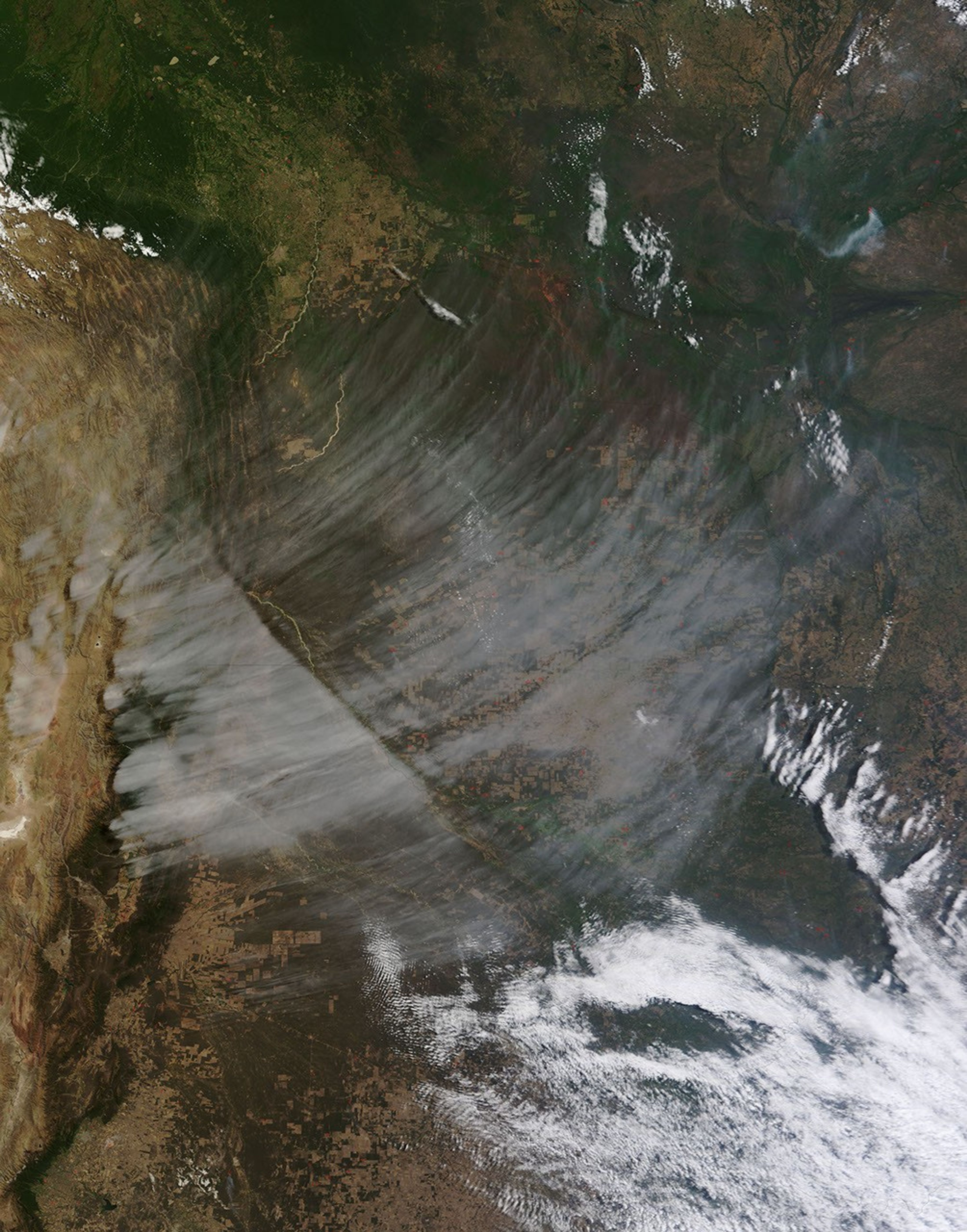
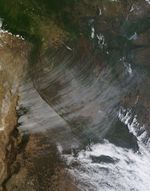
The view shown in this image is rare: a high bank of cirrus clouds sweeps east from the Andes Mountains of South America in otherwise clear skies. Under normal circumstances, other clouds would dominate the scene.
The Moderate Resolution Imaging Spectroradiometer (MODIS) on NASA’s Terra satellite acquired the image on September 20, 2013, when strong upper level winds were blowing east across South America. The winds hit the Andres Mountains and soared up over the peaks. The high, very cold clouds formed on the moist east side of the mountains. The cloud edge on the left aligns closely with the mountain topography.
Winds continued to blow east, sweeping the cirrus clouds with them until the clouds dissipated. The line in the center of the bank is probably associated with an atmospheric wave formed over the mountains. It is interesting to note that winds at the surface were blowing south, as seen in the plumes of smoke beneath the cloudbank. Red dots on the surface of the land mark the location of fires.
References & Resources
NASA image courtesy Jeff Schmaltz, LANCE/EOSDIS MODIS Rapid Response Team at NASA GSFC. Caption by Holli Riebeek with interpretation by Kerry Meyer.