![Request for Information – Potential [Placeholder for Prize]](https://assets.science.nasa.gov/dynamicimage/assets/science/psd/solar/2023/09/s/solarsystem_0.jpg?w=1024)


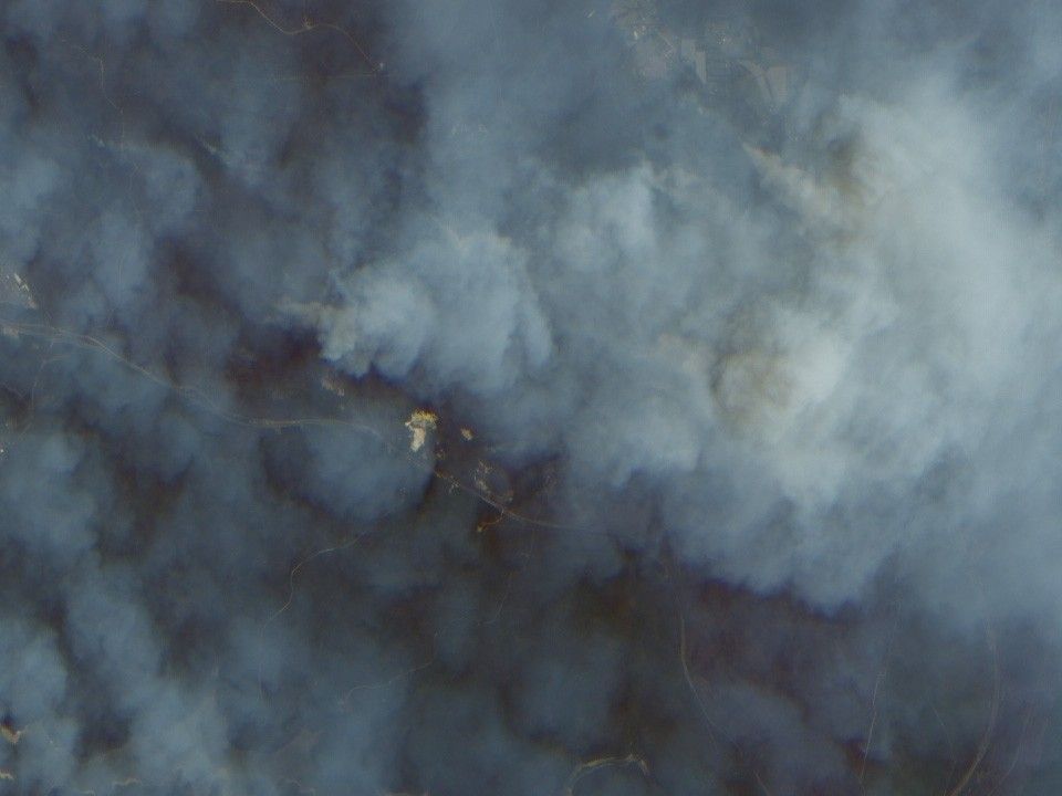
Smoke obscures much of the landscape near Sydney, Australia, in the true-color image above (top). However, the areas with active fires are revealed by the false-color image (bottom), which was made using shortwave infrared data that are sensitive to heat and provide the ability to “see” through smoke. In the bottom scene, the black areas show fresh burn scars, while greens show landscape untouched by fire. Apparently, the fire burned up to the edge of a road (the thin black line snaking from the lefthand side of the image and disappearing off the bottom) and was unable to jump across. The thick dark line along the bottom of the scene is a river.
Both images were made using data acquired on December 28, 2001, by the Advanced Land Imager (ALI), flying aboard NASA’s Earth Observing-1 (EO-1) satellite.
For more images of the recent fires in Australia, read Smoke Blankets New South Wales, Australia, Fires Continue to Rage Near Sydney, Australia, and Severe Bush Fires Near Sydney, Australia. For more information about the effects of fire on the environment, read the Biomass Burning fact sheet.
References & Resources
Images by Robert Simmon, based on data provided by Lawrence Ong, EO-1 Science Team