Overnight on June 25–26, 2011, the Souris River reached the highest level on record at Minot, North Dakota. The river crested at 1,561.72 feet (476.01 meters) above sea level, according to the Advanced Hydrological Prediction Service (AHPS). This was well over the record level of 1,558 feet (475 meters) set in 1881. By June 24, 2011, a quarter of the city’s residents had been displaced, the Grand Forks Herald reported.
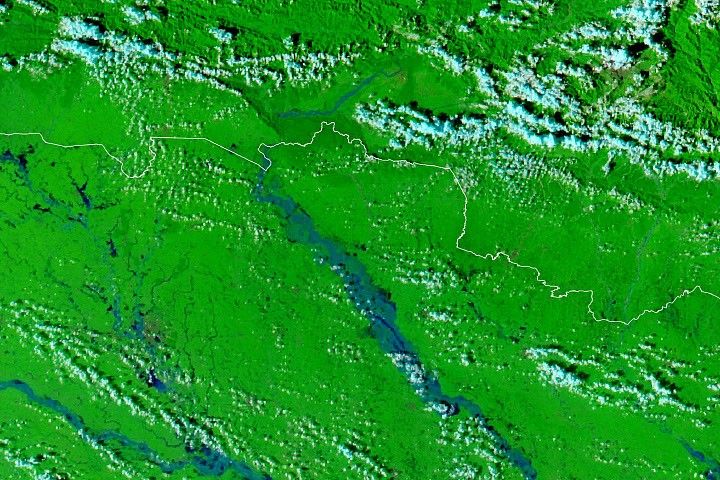
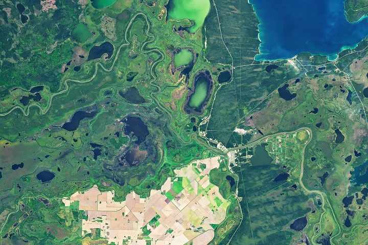
The Moderate Resolution Imaging Spectroradiometer (MODIS) on the Terra satellite captured the top image on June 25, 2011. For comparison, the bottom image shows normal conditions on June 22, 2010.
Both images use a combination of visible and infrared light to increase contrast between water and land. Water is navy blue. Clouds are pale blue-green. Vegetation is green, and bare ground and fallow fields are earth-toned. The checkerboard pattern of planted and fallow fields is especially clear in 2010.
The Souris River arises in the Canadian province of Saskatchewan and loops southward into North Dakota, before returning to Canada in Manitoba. In June 2010, the Souris River’s southern loop disappears from the satellite sensor’s view between Minot and Bantry. A year later, the river is clearly visible throughout its course, appearing especially swollen near Towner and Bantry.
On June 26, 2011, the AHPS reported major flooding at Sherwood, Foxholm, Minot, Towner, Bantry, and Westhope (hidden by clouds in the image from June 25, 2011). In the wake of the historic crest at Minot, the flood surge was apparently flowing downriver. The AHPS forecasted a sharp rise in water level near Towner around June 29.
References & Resources
- National Weather Service. Advanced Hydrologic Prediction Service. Accessed June 27, 2011.
- Tran, T.-U. (2011, June 24). As expected, surging Souris River at Minot surpasses 1881 record crest. Grand Forks Herald. Accessed June 27, 2011.
NASA images courtesy MODIS Rapid Response Team, Goddard Space Flight Center. Caption by Michon Scott.