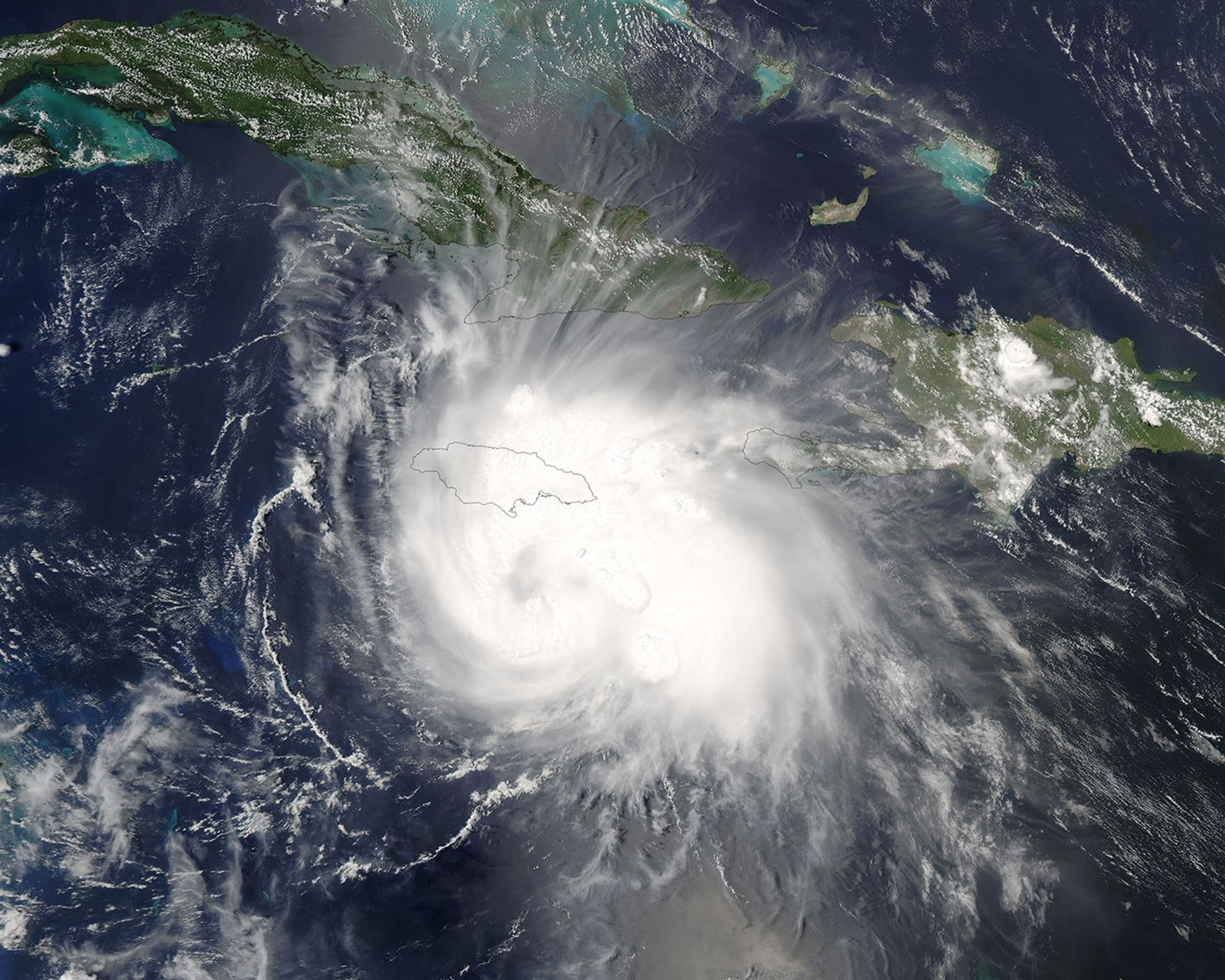
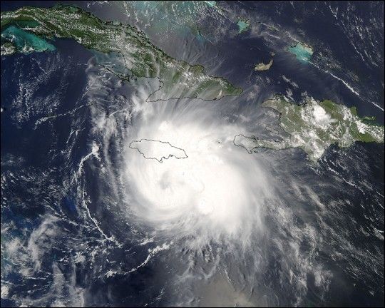
Suggested Searches

1 min read

Hurricane Charley

Instruments:
2004-08-11 00:00:00
August 11, 2004

The MODIS instrument aboard NASA's Aqua satellite captured this true-color image of Hurricane Charley on August 11 at 2:15 p.m. EDT. At the time this image was taken, Charley has just been upgraded to hurricane status and had maximum sustained winds near 75 mph. Charley was located about 90 miles south of Kingston, Jamaica and was moving towards the west-northwest at 18 mph.

The MODIS Rapid Response System provides this image at additional resolutions and formats.

References & Resources

Image courtesy Jacques Descloitres, MODIS Land Rapid Response Team at NASA GSFC.

You may also be interested in:

Stay up-to-date with the latest content from NASA as we explore the universe and discover more about our home planet.

Hurricane Erin Roils in the Atlantic
3 min read

The major hurricane steered clear of land but delivered tropical storm conditions to coastal areas along its path.

Article
Hurricane Kiko Nears Hawaii
2 min read

The storm became a major hurricane while traversing the eastern Pacific but weakened as it approached the islands.

Article
A Direct Hit on Jamaican Forests 
6 min read

Hurricane Melissa left the island nation’s forests brown and battered, but they won’t stay that way for long.

Article