September 3, 2002
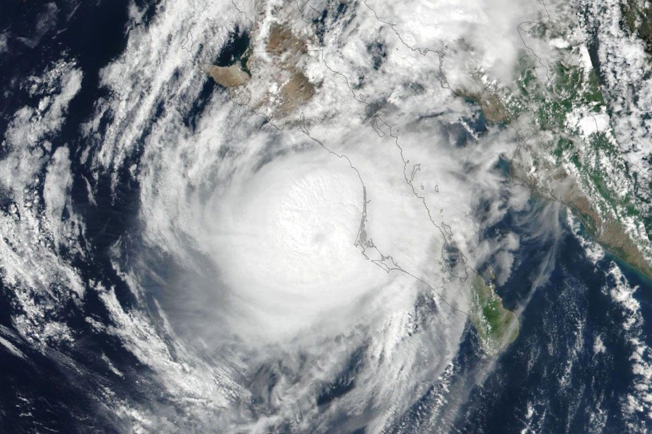
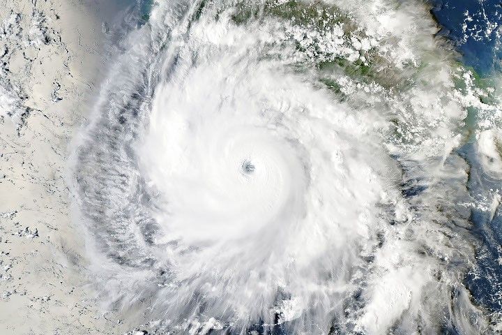
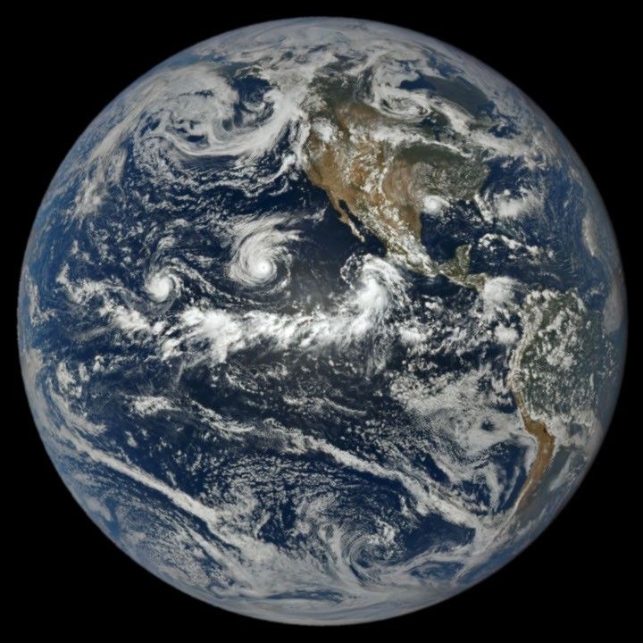
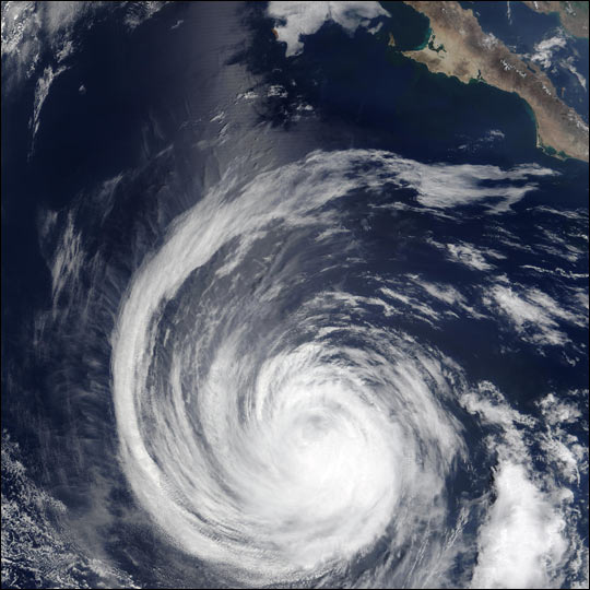
This true-color image of Hurricane Hernan off the coast of Baja California was captured on September 3, 2002, by the Moderate Resolution Imaging Spectroradiometer (MODIS), flying aboard NASA’s Terra spacecraft. As of September 4, 2002, the hurricane had quieted to a tropical storm with winds of 58 miles (93 kilometers) per hour. Hernan peaked on Sunday, September 1 as a Category 5 hurricane with winds of 160 miles (260 kilometers). Hernan is the only hurricane to reach Category 5 status out of a total of six hurricanes so far this season in the eastern Pacific.
References & Resources
Image courtesy Jacques Descloitres, MODIS Land Rapid Response Team at NASA GSFC.