August 26, 2011
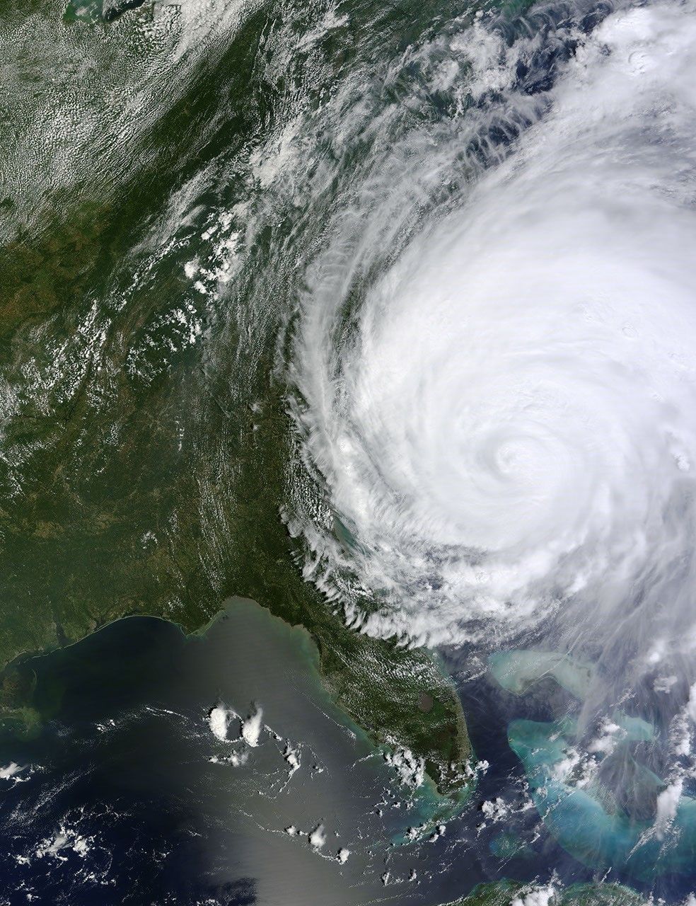
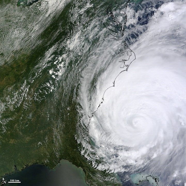
Hurricane Irene was swirling just off the southeastern coast of the United States at 12:30 pm Eastern Time (16:30 UTC) on August 26, when the Moderate Resolution Imaging Spectroradiometer (MODIS) on NASA’s Terra satellite acquired this image. It was a Category 2 storm with sustained winds of around 155 kilometers per hour (85 knots; 98 miles per hour) at the core of the storm. The core still lay off the coast, but the outer bands of the hurricane were reaching up the East Coast, bringing strong winds, heavy rain, and storm surge in beach communities.
Reference
- National Hurricane Center (2011, August 26. Hurricane Irene Accessed August 26, 2011.
References & Resources
NASA image courtesy Jeff Schmaltz, MODIS Rapid Response Team at NASA GSFC. Caption by Jesse Allen.