September 11, 2004
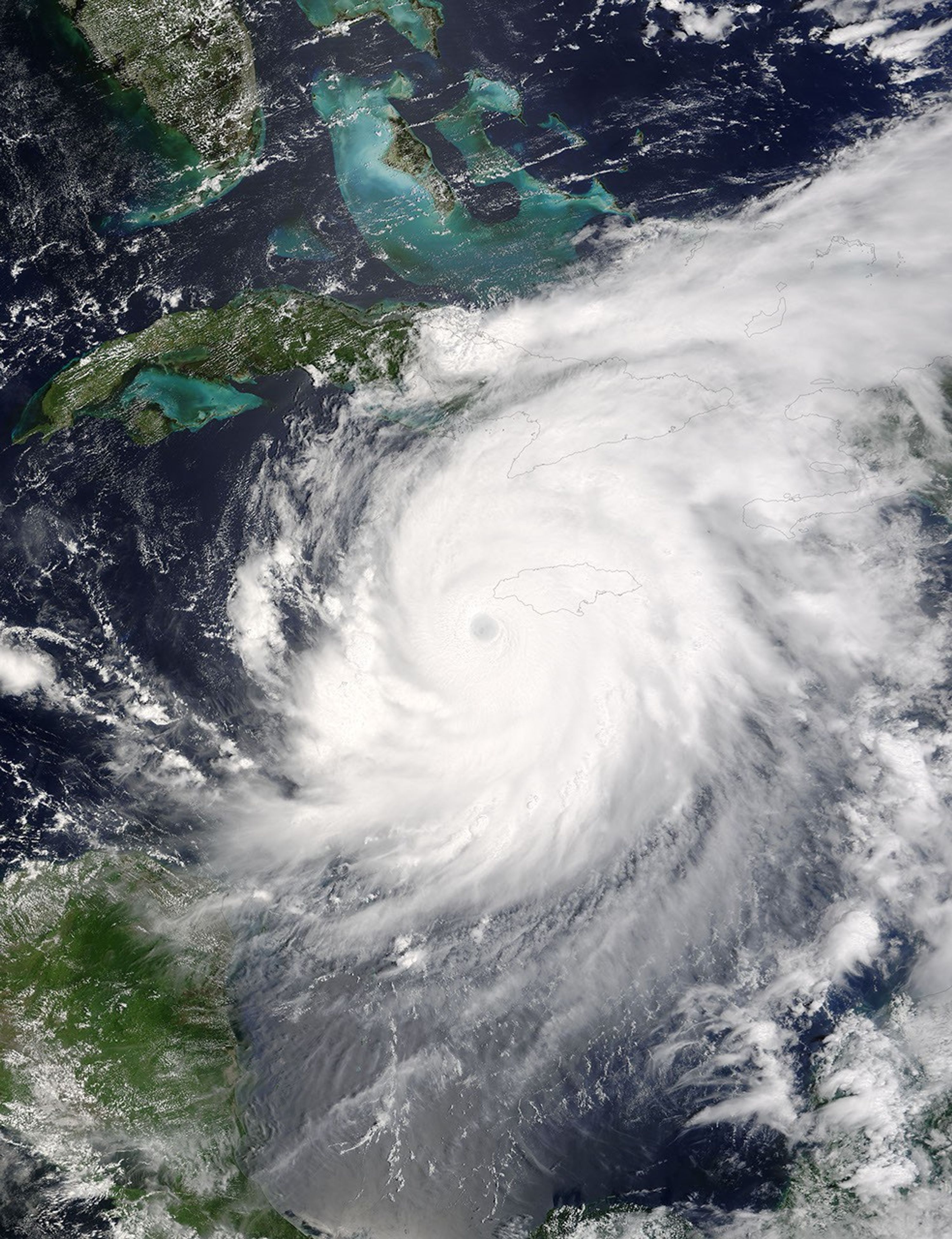
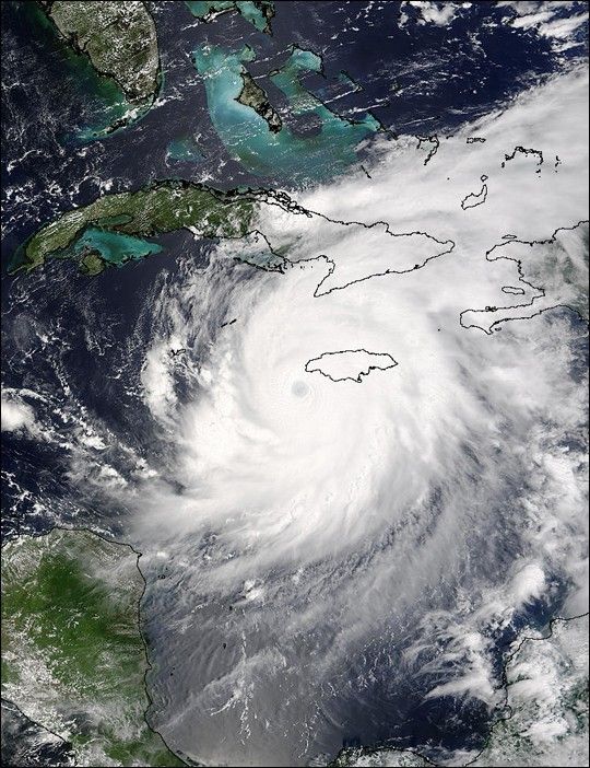
The MODIS instrument aboard NASA's Terra satellite captured this true-color image of Hurricane Ivan on Septebmer 11, 2004 at 16:10 UTC (12:10 PM EDT). At the time this image was taken Ivan was located approximately 50 km (30 miles) southwest of the western tip of Jamaica and was moving towards the west-northwest at 13 km/hr (8 mph). Ivan had maximum sustained winds of 230 km/hr (145 mph) with higher gusts.
The MODIS Rapid Response System provides this image at additional resolutions and formats.
References & Resources
NASA image courtesy Jacques Descloitres, MODIS Land Rapid Response Team at NASA GSFC.