


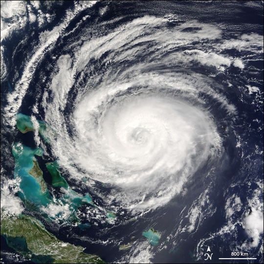
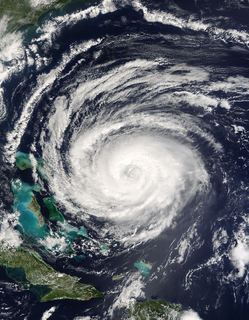
So far in the 2004 Atlantic hurricane season, 12 tropical disturbances have formed of which six have become full-fledged hurricanes. The fifth hurricane of the Atlantic season, Hurricane Jeanne, is now taking aim at the Bahamas. The National Hurricane Center predicts that the storm will pass over the northern islands of the Bahamas early on Saturday before heading to Florida on Sunday. This image of the storm was acquired by the Moderate Resolution Imaging Spectroradiometer (MODIS) on NASA’s Terra satellite at 9:35 a.m. EST, on September 24, 2004. Hurricane Jeanne is a Category 2 storm with sustained winds near 160 kilometers per hour (100 mph) and stronger gusts.
The large image provided above is at MODIS’ maximum resolution of 250 meters per pixel. The MODIS Rapid Response Team provides the image in additional resolutions.
References & Resources
NASA image courtesy Jacques Descloitres, MODIS Rapid Response Team at NASA GSFC


