


- October 10, 2005 (1.6 MB)
- September 10, 2005 (1.3 MB)
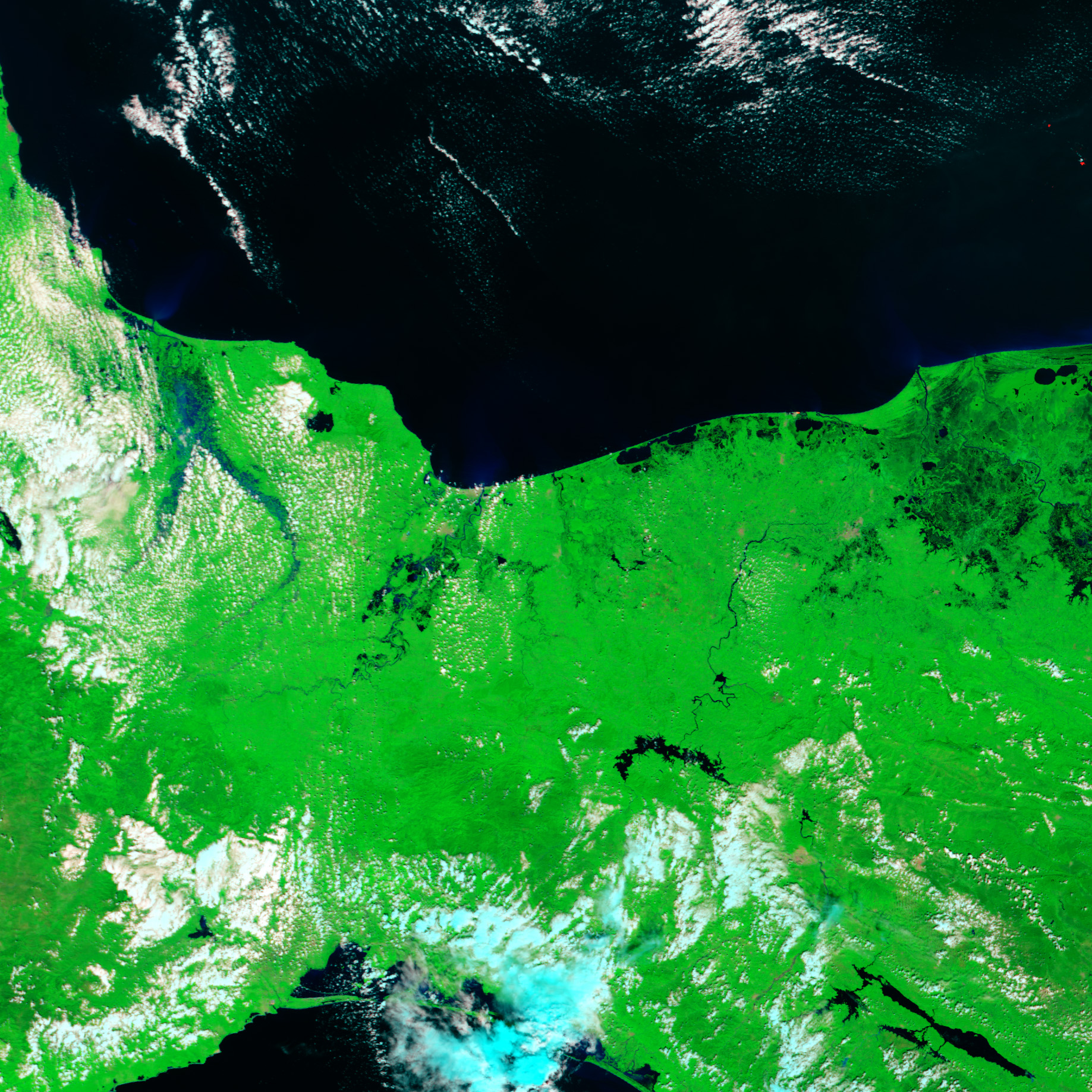
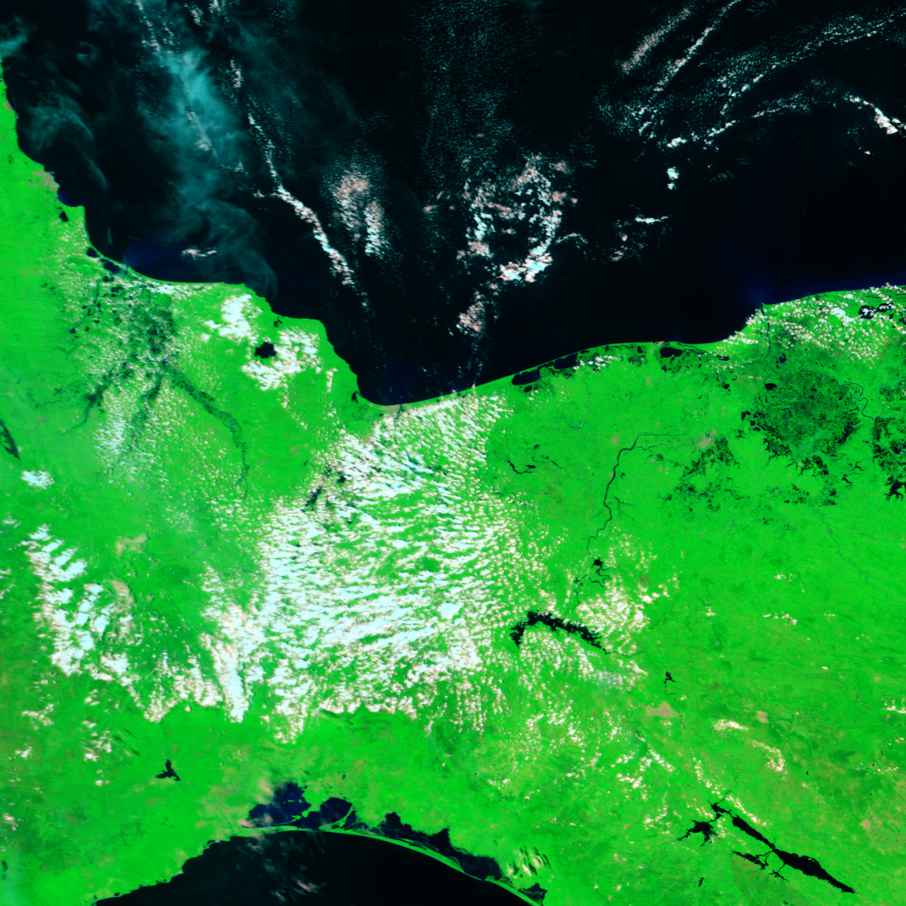
Though Hurricane Stan was a weak storm, it drenched Mexico and Central America with heavy rain for several days during the first week of October 2005. The top image shows flooded rivers in southern Mexico near where Stan came ashore on October 4. The image was taken by the Moderate Resolution Imaging Spectroradiometer (MODIS) on NASA’s Terra satellite on October 10, six days after the storm had come ashore. The Grijalva and Usumacinta Rivers in Mexico’s Tabasco state are more clearly defined, expanded with water in the top image. The lower image, taken a month earlier, shows that wetlands surround the rivers, particularly near their convergence. Because flood water takes longer to drain from wetlands, it is not surprising that the rivers were still flooded on October 10. In these false-color images, water is black or dark blue. Clouds range from white to pale blue, and vegetation is bright green.
References & Resources
NASA images courtesy Jesse Allen, based on data from the MODIS Rapid Response Team at NASA GSFC


