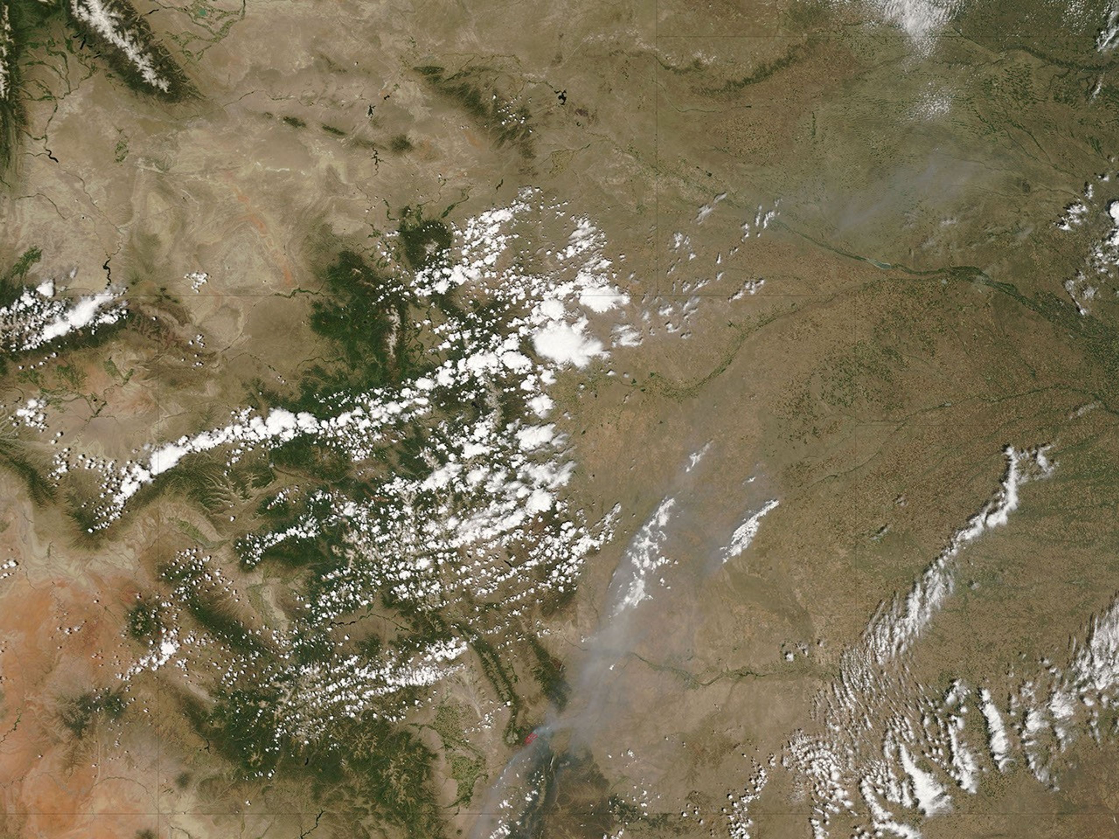


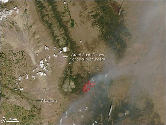
In the Sangre de Cristo Mountains of southern Colorado, the Mato Vega Fire burned in timber, debris left over from logging, and grass in mid-June 2006. This image was captured by the Moderate Resolution Imaging Spectroradiometer (MODIS) on NASA’s Terra satellite on June 20, 2006. The locations in which MODIS detected actively burning fire are outlined in red. The fire is spreading smoke out over the plains to the northeast. According to the National Interagency Fire Center report from June 21, the fire was 8,960 acres and only 5 percent contained.
This image has a spatial resolution (level of detail) of 250 meters per pixel. The large image shows a wider area at the same resolution. The MODIS Rapid Response System provides this image at additional resolutions.
References & Resources
NASA image courtesy the MODIS Rapid Response Team, Goddard Space Flight Center