A NASA satellite instrument is keeping an eye on an iceberg the size of RhodeIsland, the first time this space technology has been used to track a potentialthreat to international shipping.
NASA's new orbiting SeaWinds radar instrument, flying aboard the QuikScatsatellite, will monitor Iceberg B10A, which snapped off Antarctica seven yearsago and has since drifted into a shipping lane.
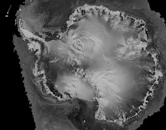
Iceberg B10A, which measures about 38 by 77 kilometers (about 24 miles by 48miles), was spotted by the Instrument during its first pass over Antarctica,demonstrating SeaWinds' all-weather and day-night observational capabilities.The massive iceberg extends about 90 meters (300 feet) above water and may reachas deep as 300 meters (1,000 feet) below the ocean's surface. It is breaking upinto smaller pieces that could pose a threat to commercial, cruise and fishingships if the pieces are blown back into the shipping lane by high winds.
"Although the iceberg isn't posing a threat to ships in the area right now,pieces of B10A could be blown back into the shipping lane and become a danger toships using the Antarctic's Drake Passage," said Dr. David Long, a member of theSeaWinds science team from Utah's Brigham Young University, Provo, UT. Long saidthat the SeaWinds instrument will be able to help scientists at the National IceCenter, Suitland, MD, track pieces of the iceberg down to 4 kilometers (about2.5 miles) in size.
For more information about QuikSCAT:
Winds (NASA scatterometry)
QuikSCAT Fact Sheet
NSIDC Monitoring of Antarctic Ice Shelves
References & Resources
Image courtesy QuikSCAT project, NASA JPL
None