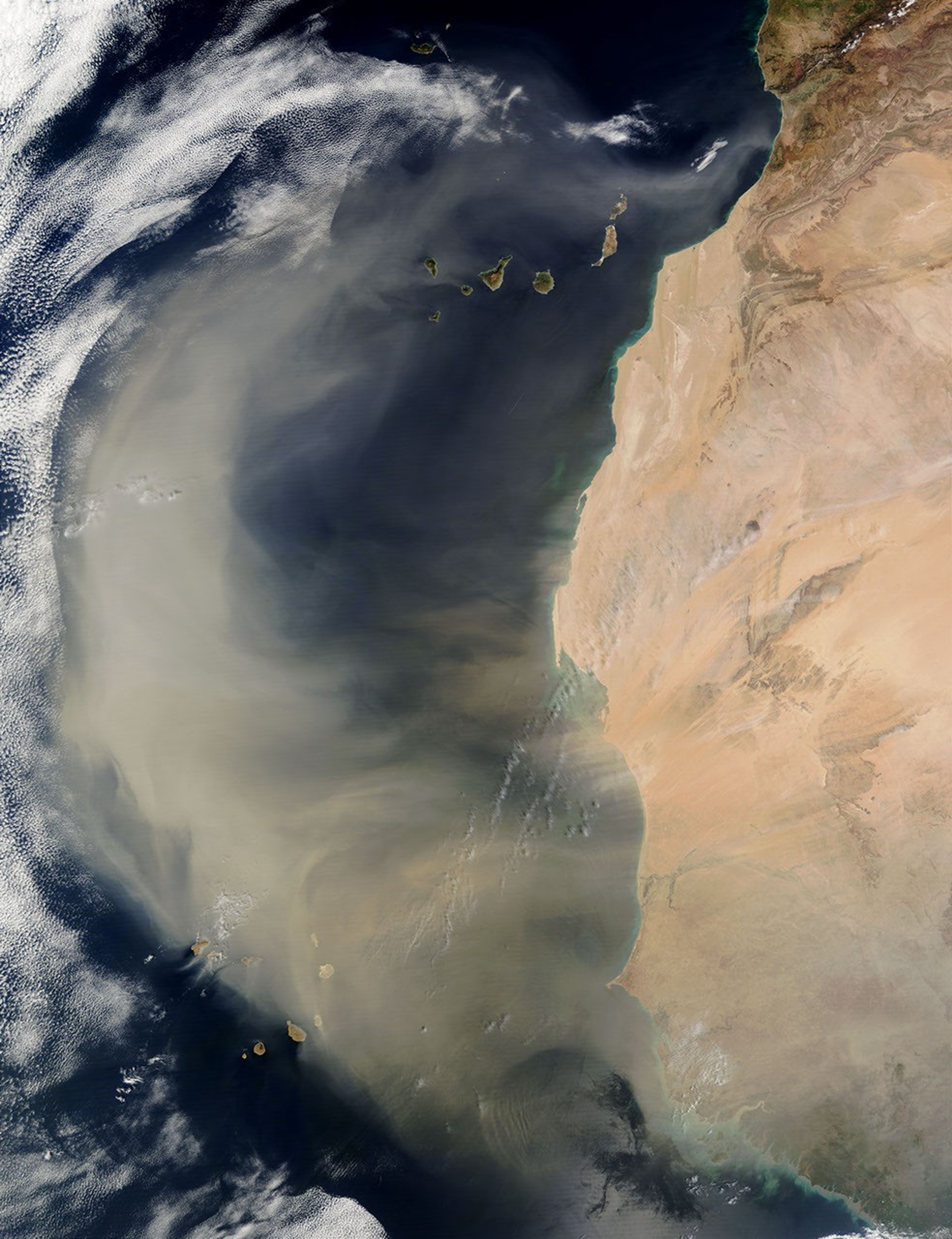

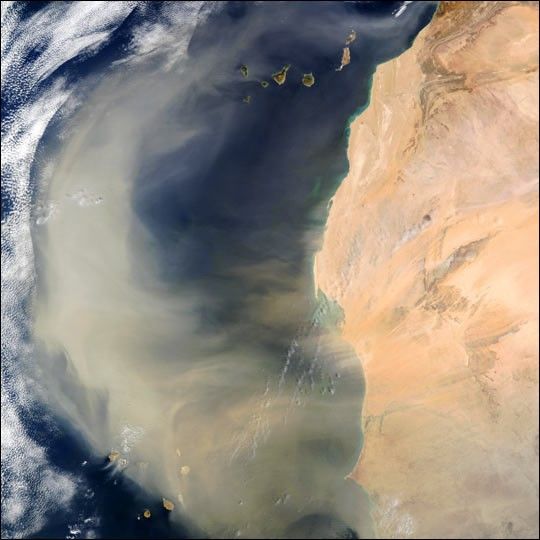
An intense African dust storm sent a massive dust plume northwestward over the Atlantic Ocean on March 2, 2003. In this true-color scene, acquired by the Moderate Resolution Imaging Spectroradiometer (MODIS) aboard NASA's Terra satellite, the thick dust plume (light brown) can be seen blowing westward and then routed northward by strong southerly winds. The plume extends more than 1,000 miles (1,600 km), covering a vast swath of ocean extending from the Cape Verde Islands (lower lef), off the coast of Senegal, to the Canary Islands (top center) off the coast of Morocco.
The high-resolution image provided above is 500 meters per pixel. The MODIS Rapid Response System provides this image at MODIS’ maximum spatial resolution of 250 meters.
References & Resources
Image courtesy Jacques Descloitres, MODIS Rapid Response Team, NASA GSFC