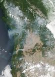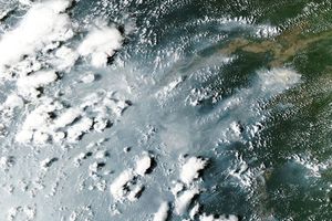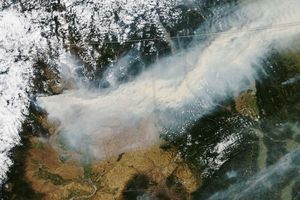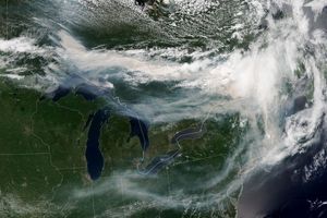
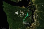

On August 2, 2017, the Visible Infrared Imaging Radiometer Suite (VIIRS) on the Suomi NPP satellite captured this image of smoke from wildfires in the western United States and Canada. Actively burning areas, detected by VIIRS thermal bands, are outlined in red.
According to the National Interagency Fire Center (NIFC), 38 large fires were actively burning on that day in the United States—all in the West. (Fire numbers do not include individual fires within a complex.) Those 38 fires have burned 217,858 hectares (841 square miles) to date.
Weather will continue to “promote very active fire behavior,” NIFC noted. Extreme high temperatures in the region are expected to contribute to unstable, dry conditions.
To the north, a significant amount of smoke was also billowing from fires raging in western Canada. You can explore the region’s smoke forecast here.
References & Resources
- InciWeb (2017, August 2) Current Incidents. Accessed August 3, 2017.
- National Interagency Fire Center (2017, August 2) National Fire News. Accessed August 3, 2017.
- NASA Earth Observatory (2017, July 19) Forest Fires Blanket British Columbia with Smoke.
NASA image by Jeff Schmaltz, LANCE/EOSDIS Rapid Response. Caption by Kathryn Hansen.