Suggested Searches

1 min read

Snowy Kamchatka

Instruments:
Topics:
2017-01-18 00:00:00
January 18, 2017

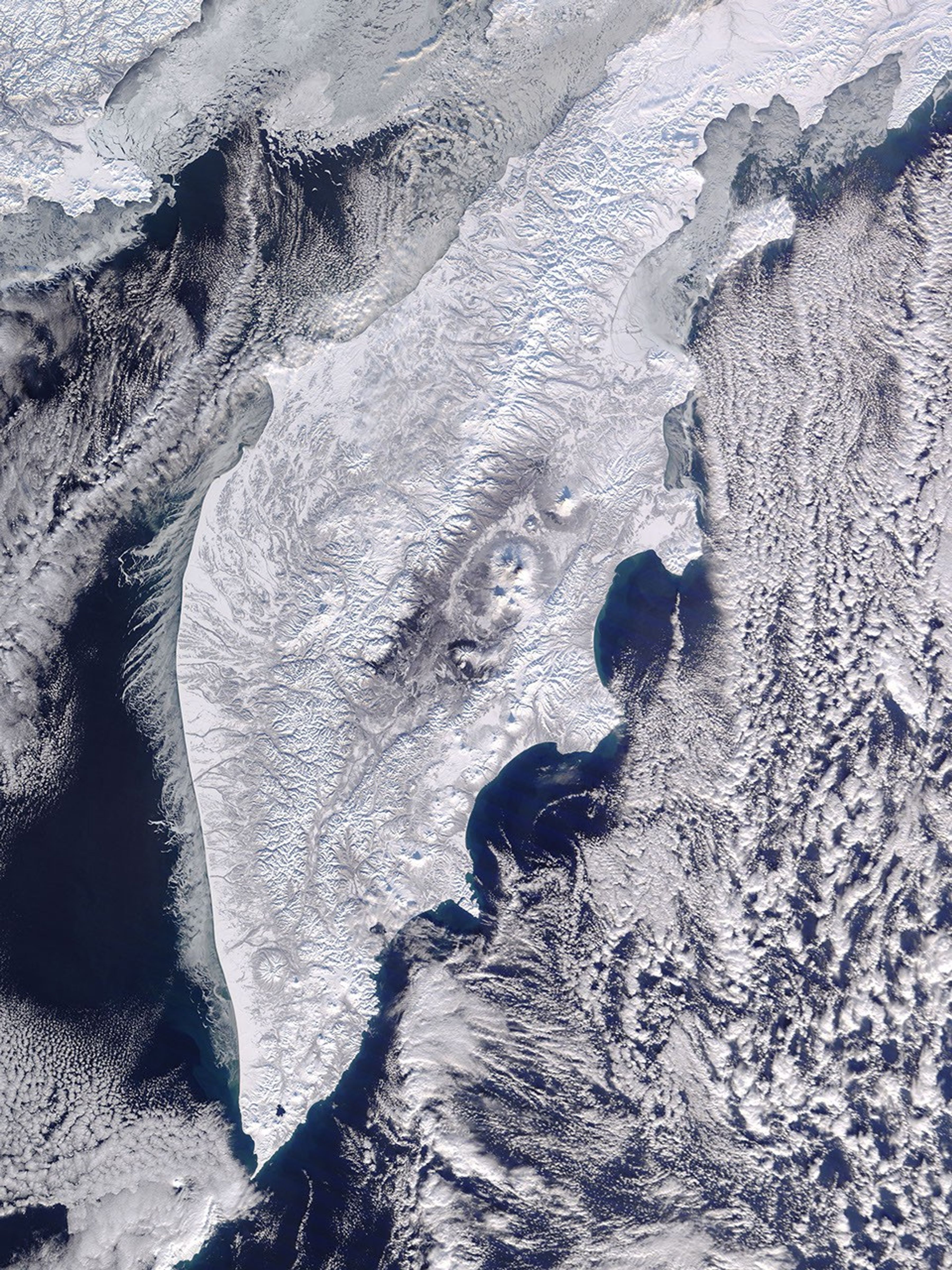
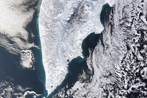
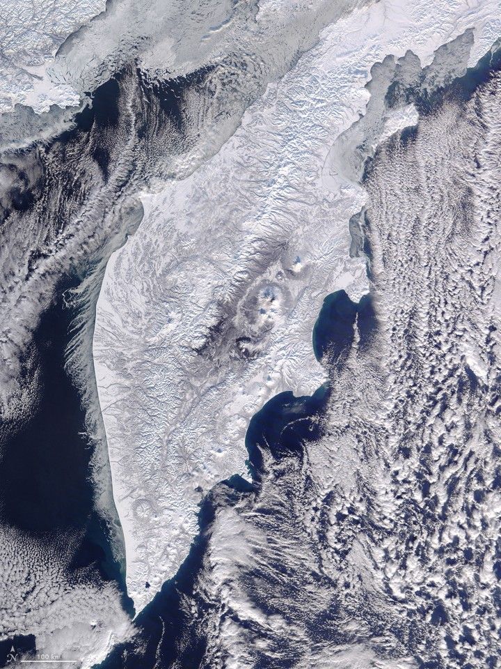
On January 18, 2017, the Moderate Resolution Imaging Spectroradiometer (MODIS) on NASA’s Aqua satellite captured this image of the Kamchatka Peninsula. This remote part of Russia was covered in snow and unobscured by clouds. A string of volcanoes can be seen dotting Kamchatka’s eastern flank.

References & Resources

NASA image by Jeff Schmaltz, LANCE/EOSDIS Rapid Response . Caption by Pola Lem.

You may also be interested in:

Stay up-to-date with the latest content from NASA as we explore the universe and discover more about our home planet.

Snow Buries Kamchatka
2 min read

December and January brought a series of intense winter storms to the peninsula in far eastern Russia.

Article
Mapping Kamchatka Earthquake Displacement
7 min read

A group of satellites with interferometric synthetic aperture radar makes it possible for geologists to detect how much and where…

Article
Krasheninnikova Remains Restless
3 min read

The volcano on Russia’s Kamchatka Peninsula continues to erupt after centuries of quiescence.

Article