


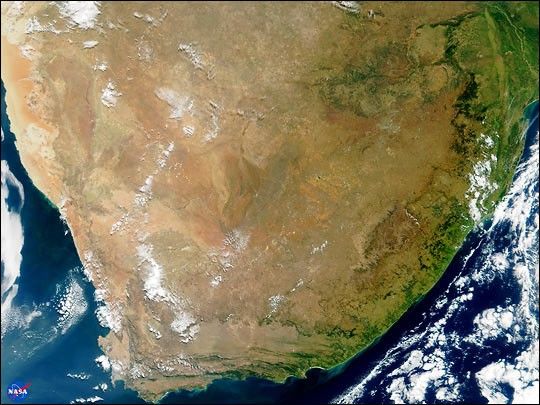
This true-color image of South Africa was acquired on May 14, 2000, byNASA's Moderate-resolution Imaging Spectroradiometer, or MODIS. Theimage was produced using a combination of the sensor's 250-m and 500-mresolution visible wavelength bands. As part of the opening ceremony tobegin the joint U.S.-South Africa SAFARI Field Experiment, NASApresented print copies of this image as gifts to Dr. Ben Ngubane,Minister of Arts, Science & Technology, and Honorable Advocate NgoakaRamathlodi, Premier of the Northern Province, South Africa.
The area shown in this image encompasses seven capital cities and anumber of the region's distinctive geological features can be seenclearly. Toward the northern (top) central part of the image, thebrowns and tans comprise the Kalahari Desert of southern Botswana. TheTropic of Capricorn runs right through the heart of the Kalahari and theBotswanan capital city of Gaborone sits on the Limpopo River, southeastof the Kalahari.
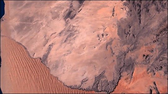
Along the western coastline of the continent is the country of Namibia,where the Namib Desert is framed against the sea by the KaokoveldMountains. The Namibian capital of Windhoek is obscured by clouds.Looking closely in the center of the image, the Orange River can be seenrunning from east to west, demarcating the boundary between Namibia andSouth Africa.
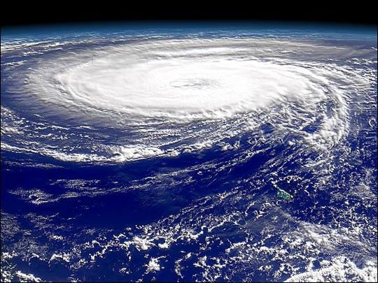
On the southwestern corner of the continent is the hook-like Cape ofGood Hope peninsula and Cape Town, the parliamentary capital of SouthAfrica. Running west to east away from Cape Town are the Great KarrooMountains. The shadow in this image conveys a sense of the very steepgrade of the cliffs along the southern coast of South Africa. PortElizabeth sits on the southeasternmost point of South Africa, and alarge phytoplankton bloom can be seen in the water about 100 miles eastof there.
Moving northward along the east coast, the Drakensberg Mountains arevisible. The two small nations of Lesotho and Swaziland are in thisregion, completely contained within South Africa's boundaries. In theupper righthand corner of the image is the Bay of Maputo, where sitsMaputo, the capital of Mozambique. Fires are visible in the northeastcorner of the image, near Maputo. Just north of Maputo is where theLimpopo River empties into the Indian Ocean. Tracing the Limpopoinland back toward the west, this river defines the northern boundary ofSouth Africa with both Zimbabwe and Botswana.
Johannesburg, the commercial capital of South Africa, can be seen as thegreyish pixels in the northeastern region of the country. The country'slegislative capital, Pretoria, is about 50 miles north of Johannesburgand 250 miles west of Maputo, in the heart of the Northern Province(formerly known as Transvaal).
References & Resources
(Image courtesy Jacques Descloitres, MODIS Land Group, NASA Goddard Space Flight Center)


