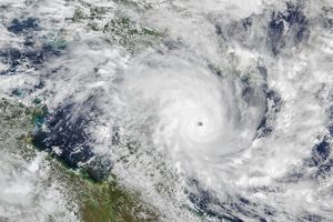
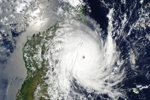
Typhoon Melor was a weakening Category 2 typhoon on the morning of October 7, 2009, when the QuikSCAT satellite collected the observations used to make this image. The image depicts the wind field associated with the storm. The strongest winds are pink and purple, forming a rough circle in the center of the storm. Much of the rest of the storm is made up of a broad field of moderately strong winds, shown in red. Barbs illustrate wind direction, spiraling around the center of the storm. White barbs point to areas of heavy rain.
QuikSCAT collected these wind measurements at 5:35 a.m. (Tokyo time) on October 7 (20:35 UTC, October 6). At that time, Typhoon Melor had winds between 167 kilometers per hour (104 miles per hour or 90 knots) and 157 km/hr (98 mph or 85 knots), according to the Joint Typhoon Warning Center. The storm was moving towards Japan and was forecast to make landfall around 9:00 a.m. on October 8, local time.
QuikSCAT monitors wind speed with a radar that sends out pulses ofmicrowave energy and listens for the echo after the pulse bounces offthe wind-roughened ocean surface. Scientists translate radar signalsinto estimates of wind speed by matching the radar echoes to physicalmeasurements collected from buoys at the same time and place.
Cyclone-strength wind speeds are rare, however, and scientistsgenerally don’t have enough matching buoy observations toconvert wind speeds above roughly 50 knots. Intense rain rippling theocean’s surface can also interfere with the radar signal.Because of these limitations, QuikSCAT images don’t showabsolute, maximum wind speeds. Instead, they give forecasters avaluable picture of the wind structure within the storm, for example,revealing whether a storm has a strong or a weak eye and how large anarea is experiencing tropical-storm-strength winds.
References & Resources
NASA image courtesy of David Long, Brigham Young University, on the QuikSCAT Science Team , and the Jet Propulsion Laboratory. Caption by Holli Riebeek, NASA Earth Observatory.


