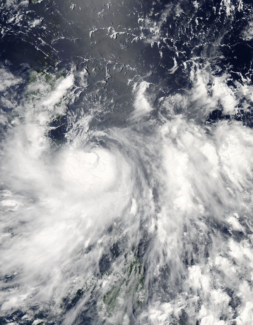
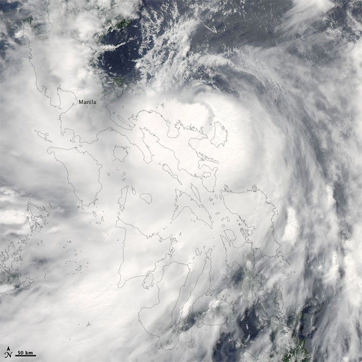
Conson briefly strengthened to typhoon status before returning to tropical-storm strength on July 13, 2010. At 15:00 UTC (11:00 p.m. Manila time) on July 13, the U.S. Navy’s Joint Typhoon Warning Center (JTWC) reported that Conson had maximum sustained winds of 60 knots (110 kilometers per hour) and gusts up to 75 knots (140 kilometers per hour). The storm was located roughly 70 nautical miles (130 kilometers) east of Manila, and was traveling westward. Passing over land had decreased the storm’s strength.
The Moderate Resolution Imaging Spectroradiometer (MODIS) on NASA’s Aqua satellite captured this natural-color image at 12:55 p.m. Manila time (4:55 UTC) on July 13, 2010. Storm clouds extend across the Philippines with the apparent center of the storm east-southeast of Manila.
References & Resources
- Joint Typhoon Warning Center. (2010, July 13). Tropical Storm 03W (Conson) Warning. Accessed July 13, 2010.
- Unisys. (2010, July 13). Conson. Accessed July 13, 2010.
NASA image courtesy MODIS Rapid Response Team at NASA GSFC. Caption by Michon Scott.