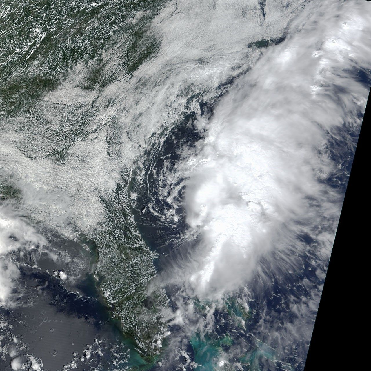
Tropical Storm Edouard is the fifth named Atlantic storm of this year’s hurricane season, but so far has done little more than bring some occasionally heavy rains to the Southeast, which had already been experiencing rain and flash flooding for almost a week. In this true-color Moderate Resolution Imaging Spectroradiometer (MODIS) image from September 2, 2002, Edouard can be seen as a disorganized bank of clouds off Florida, Georgia, and the Carolinas.
As of 2 p.m. EDT on Tuesday, September 3, the storm was 155 miles east of Jacksonville, Florida and packing winds of up to 70 miles per hour. The storm is expected to weaken substantially and hit central Florida by Thursday morning.
References & Resources
Image by Jesse Allen, based on data from the MODIS Rapid Response Team at NASA-GSFC