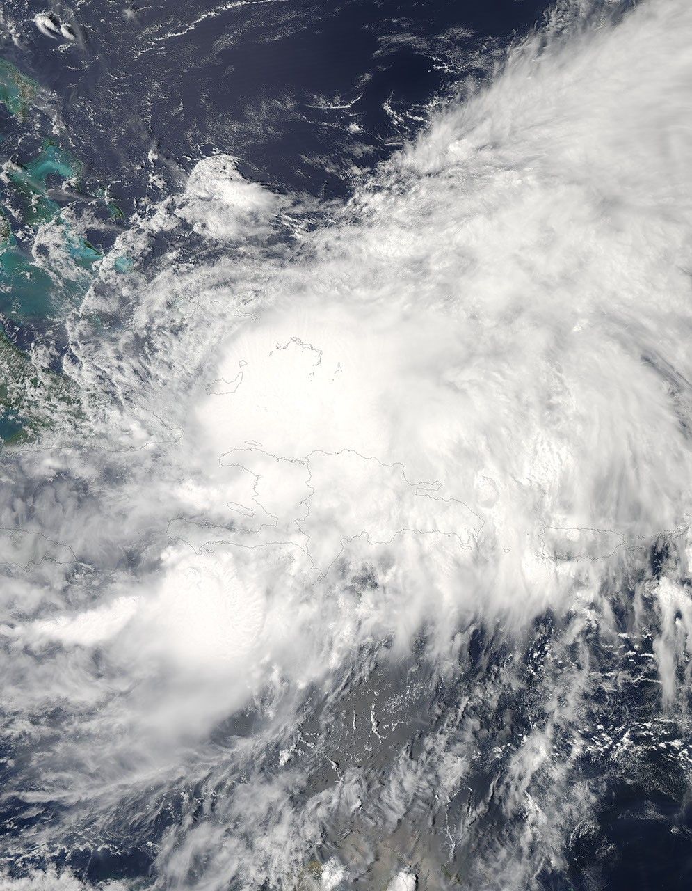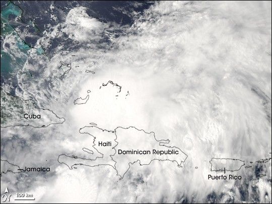
Tropical Storm Hanna continued to plow through the Caribbean Sea on September 2, 2008, bringing strong surf and heavy rains to the island of Hispaniola (home to Haiti and the Dominican Republic) before heading to the Bahamas. This image of the storm was captured by the Moderate Resolution Imaging Spectroradiometer (MODIS) on NASA’s Aqua satellite. The storm was ragged and sprawling, with no distinct eye. The center of circulation was evident in the bright ball of clouds north of Hispaniola, however. Forecasts as of September 3 were uncertain as to whether the storm would regain hurricane status in coming days.
The high-resolution image provided above is at MODIS’ full spatial resolution (level of detail) of 250 meters per pixel. The MODIS Rapid Response System provides this image at additional resolutions.
References & Resources
NASA image by Jeff Schmaltz, MODIS Rapid Response Team, Goddard Space Flight Center. Caption by Rebecca Lindsey.