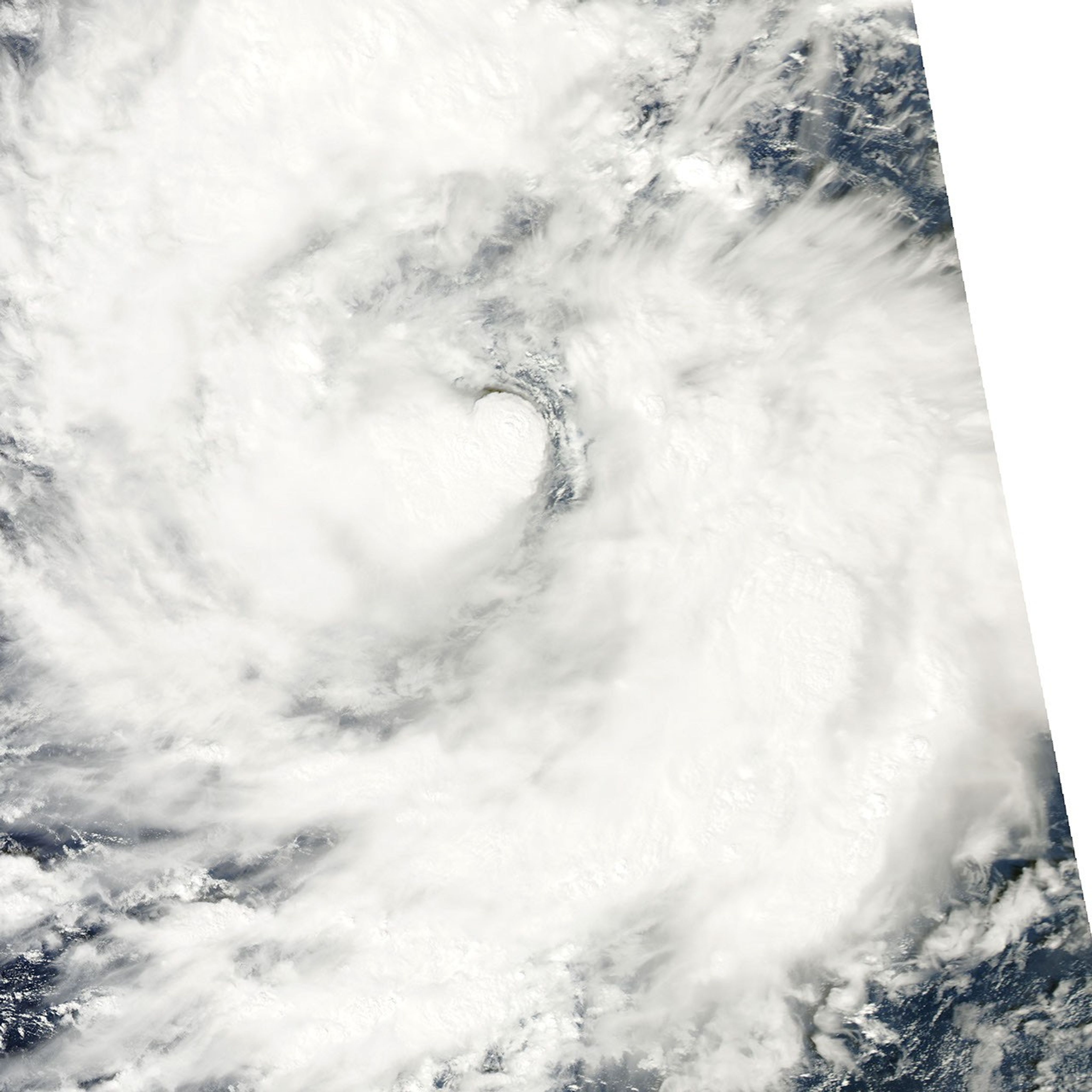
Nida formed as a tropical depression over the western Pacific Ocean on November 22, 2009. Late the following day, Nida had strengthened to a tropical storm, with maximum sustained winds of 35 knots (65 kilometers per hour) and gusts up to 45 knots (85 kilometers per hour).
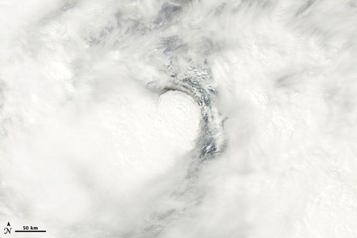
The Moderate Resolution Imaging Spectroradiometer (MODIS) on NASA’s Aqua satellite captured this true-color image on November 23, 2009. Focusing on the center of the storm, this image shows what appears to be a tall cloud tower casting a shadow to the north. Thick clouds fan out from this apparent tower toward the west and south. On the north and east sides, a break appears in the clouds, but a larger ring of clouds surrounds the storm’s center.
References & Resources
- Unisys Weather. (2009, November 23). Tropical Storm Nida. Accessed November 23, 2009.
NASA image courtesy MODIS Rapid Response Team, Goddard Space Flight Center. Caption by Michon Scott, NASA Earth Observatory.