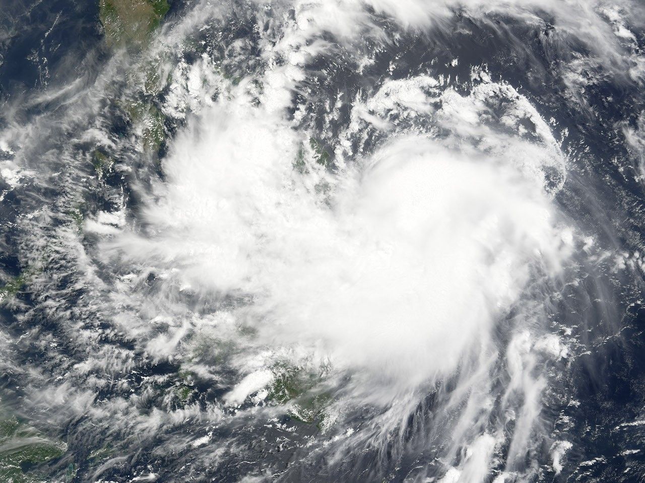




























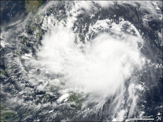
Tropical Storm Chanchu formed in the western Pacific on May 8, 2006, roughly 500 miles east of the Philippines. The storm had been gradually building strength and size, but as of May 11, 2006, it remained a slow-moving storm with only hints that is was developing a stronger cyclonic structure. The storm was not expected to build strength until it crossed the Philippines, after which it was forecast to gain power and size as it continued on a westbound track across the South China Sea. Chanchu could eventually pose a significant threat to Southeast Asia.
This photo-like image was acquired by the Moderate Resolution Imaging Spectroradiometer (MODIS) on the Terra satellite on May 11, 2006, at 10:15 a.m. local time (02:15 UTC). Chanchu had clearly developed a weak spiral form, but did not have tightly wound arms or any apparent eye structure. Sustained winds in the storm system were estimated to be around 140 kilometers per hour (85 miles per hour) around the time the image was captured. The storm was traveling directly through the Philippines at this time, straddling the Pacific Ocean and the Sulu Sea, which surrounds the islands.
References & Resources
NASA image created by Jesse Allen, Earth Observatory, using data provided by the Goddard Earth Sciences DAAC.