Suggested Searches

1 min read

Typhoon Ketsana

Instruments:
Typhoon Ketsana
October 21, 2003

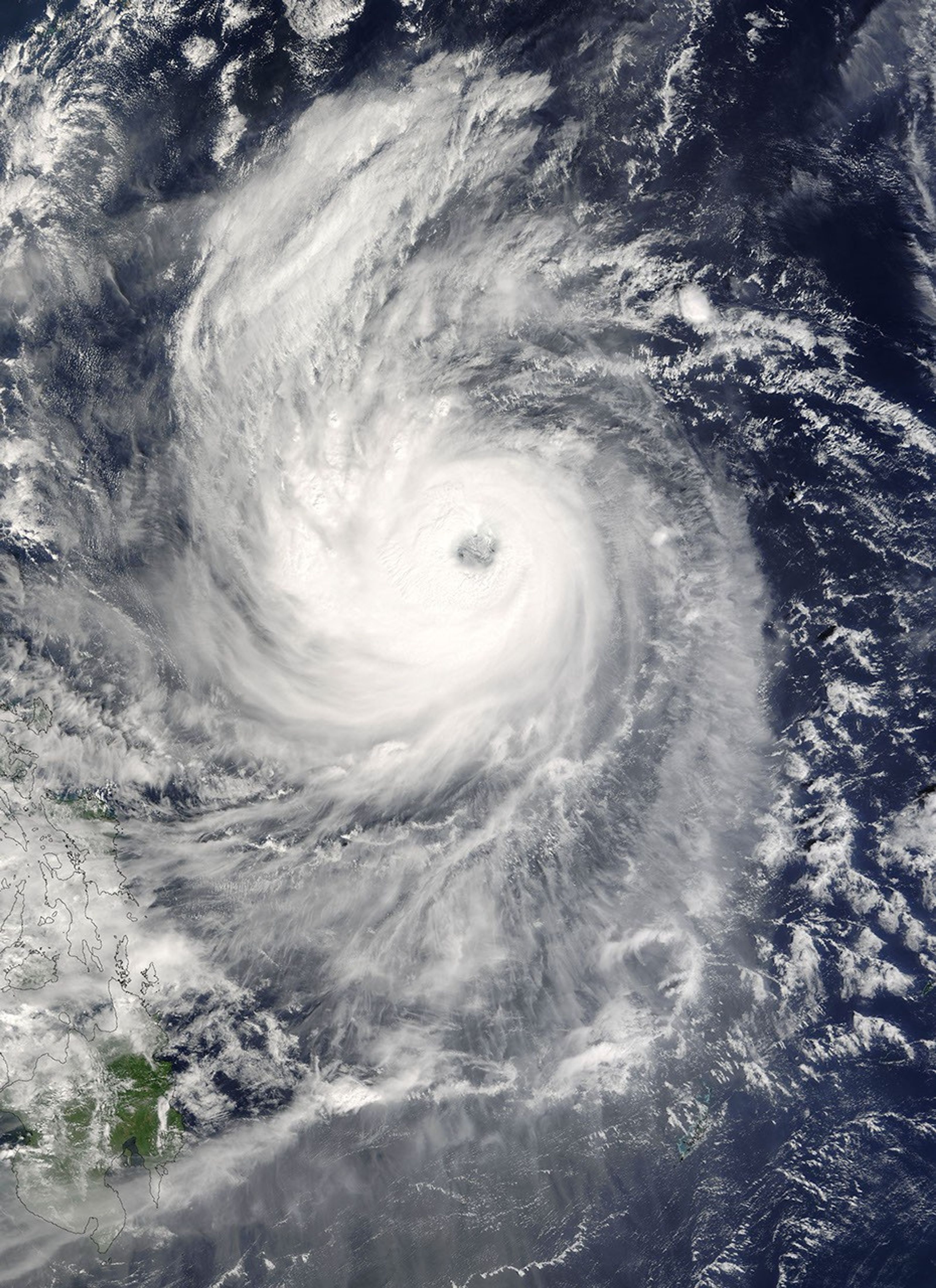
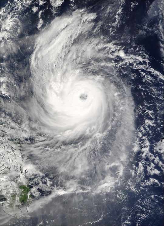
Typhoon Ketsana spins north, northeast away from the Philippine Islands in this Moderate Resolution Imaging Spectroradiometer (MODIS) image captured by the Terra satellite on October 21, 2003 at 1:55 UTC. At the time this image was taken, the storm had a sustained winds of 144 miles per hour with gusts to 173 miles per hour, the equivalent of a Category 4 hurricane on the Saffir-Simpson Hurricane Scale.

References & Resources

Image courtesy Jeff Schmaltz, MODIS Land Rapid Response Team at NASA GSFC

You may also be interested in:

Stay up-to-date with the latest content from NASA as we explore the universe and discover more about our home planet.

Hurricane Erin Roils in the Atlantic
3 min read

The major hurricane steered clear of land but delivered tropical storm conditions to coastal areas along its path.

Article
Hurricane Kiko Nears Hawaii
2 min read

The storm became a major hurricane while traversing the eastern Pacific but weakened as it approached the islands.

Article
A Direct Hit on Jamaican Forests 
6 min read

Hurricane Melissa left the island nation’s forests brown and battered, but they won’t stay that way for long.

Article