June 18, 2003
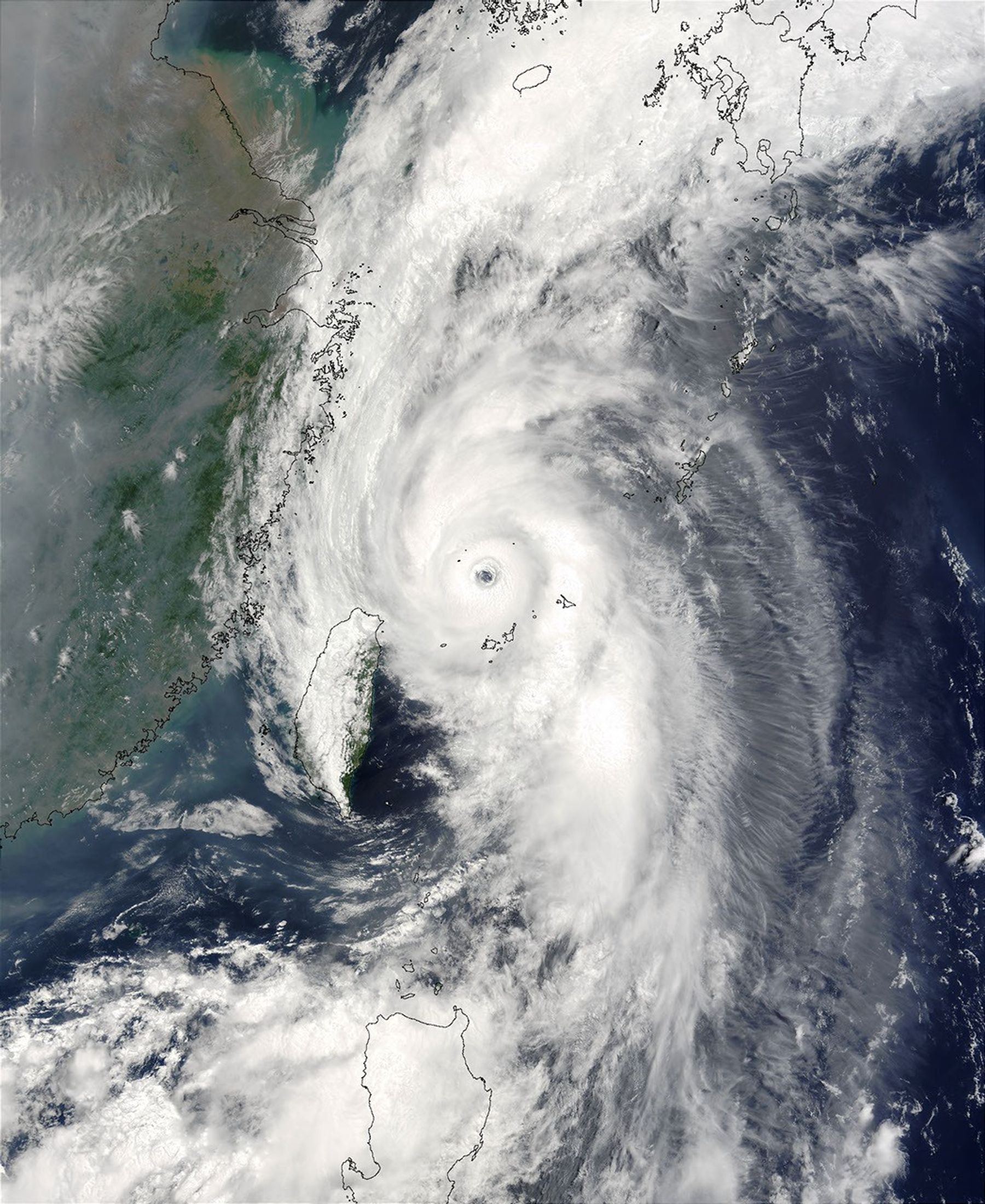
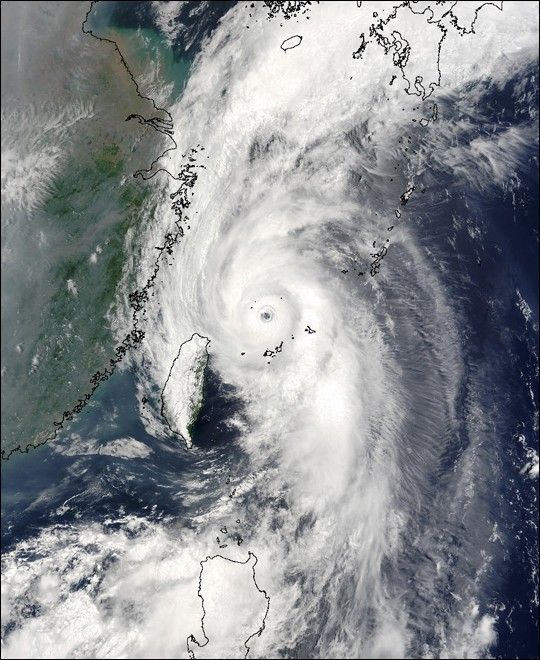
On Tuesday, June 18, 2003, the Moderate Resolution Imaging Spectroradiometer (MODIS) instrument onboard the Terra spacecraft captured this true-color image of Typhoon Soudelor in the Philippine Sea.
In this image, Soudelor is centered about 190 miles west-southwest of Okinawa and is packing maximum sustained winds of 132 mph, with gust to 161 mph. The image clearly shows a symmetric eye approximately 21 miles in diameter.
The high-resolution image available here is 1000 meters per pixel. Click for a copy of this image at the sensor's full-resolution of 250 meters.
References & Resources
Image courtesy Jacques Descloitres, MODIS Land Rapid Response Team at NASA GSFC.