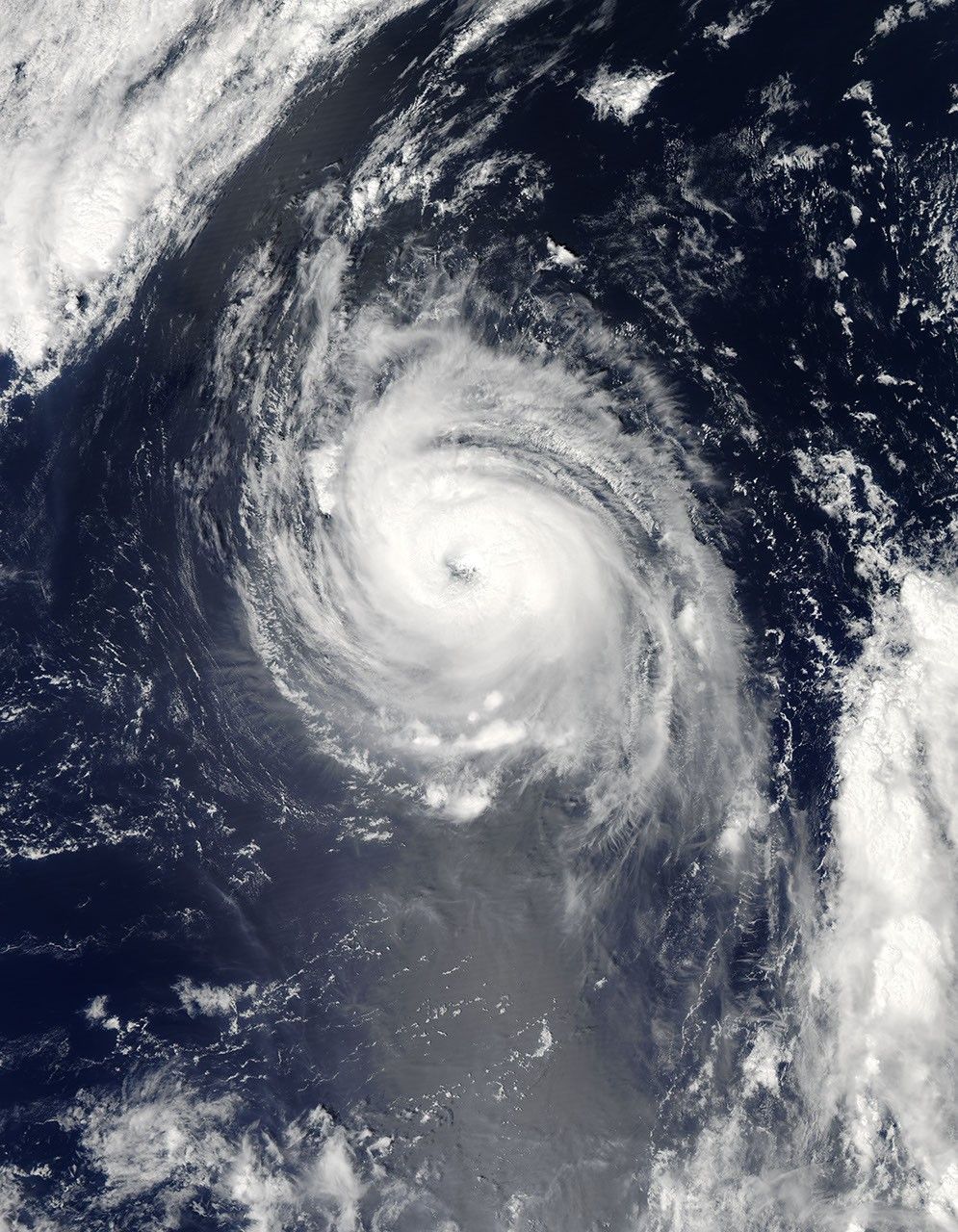
On August 24, Typhoon Vamco was 990 miles northwest of Wake Island in the Pacific Ocean (near 32.1 north and 155.0 east). The storm was moving north near 12 mph. Sustained winds near 85 knots (97 mph) were creating 25-foot-high waves in the open ocean.
This image of Vamco was captured by the Moderate Resolution Imaging Spectroradiometer (MODIS) on NASA’s Aqua satellite August 24. Compared to its shape in images from the previous week, Vamco was smaller and more oval shaped. The storm looked as if it had leaned over to the west. Despite these changes, it was still well organized into a fairly tight spiral, and it retained a distinct, but cloudy eye.
References & Resources
NASA image by Jeff Schmaltz, MODIS Rapid Response Team, Goddard Space Flight Center. Caption by Rob Gutro and Rebecca Lindsey.