


First Glimpse of Alaska’s Glaciers from Landsat
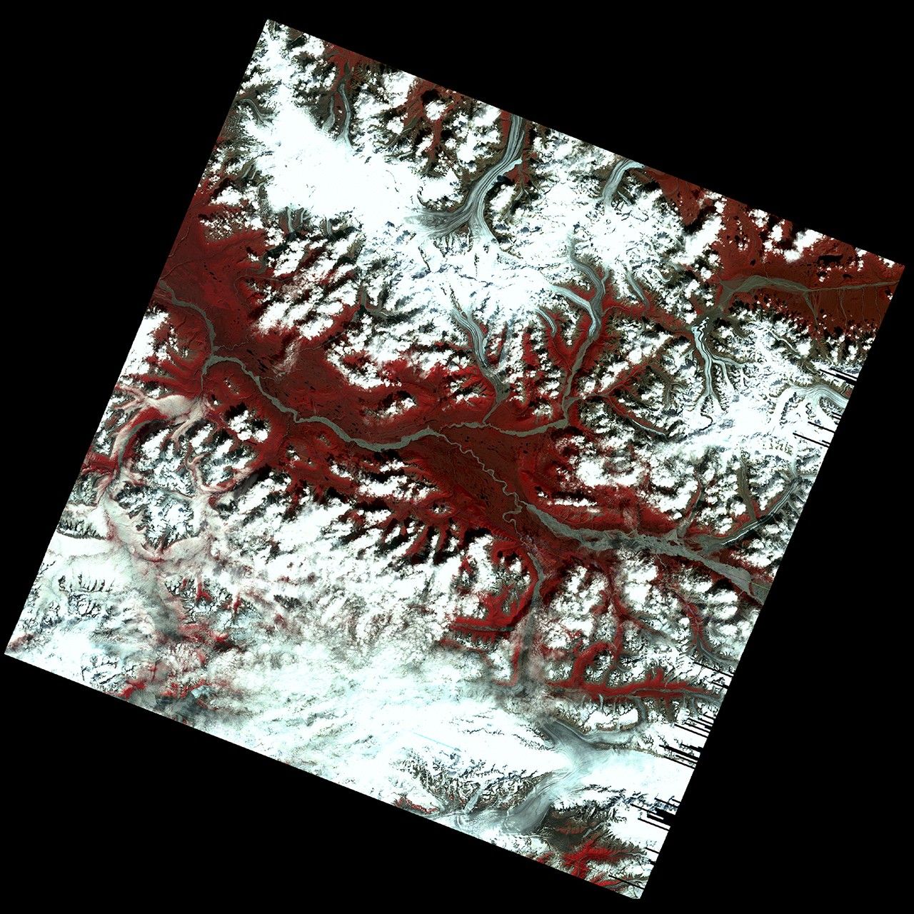
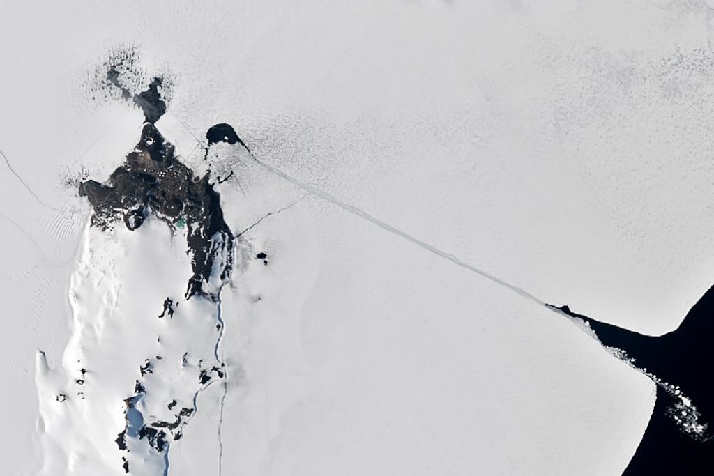
This early Landsat 1 image, acquired on July 31, 1972, captures the Kennicott, Nabesna, and Barnard Glaciers in southeastern Alaska—just a week after the satellite’s launch. Using bands 6, 5, and 4, the image reveals glacial ice, rugged mountain terrain, and braided rivers within the Wrangell–St. Elias region. This marked one of the first times Earth’s icy landscapes were systematically observed from orbit, helping lay the groundwork for satellite-based glacier monitoring.
Image Credit: USGS
- X
https://science.nasa.gov/image-detail/amf-28a34bb6-1eda-4e68-b1b5-e1bc1b34f9e4/
Image CreditUSGS
Size1800x1800px