GeoXO
Geostationary Extended Observations (GeoXO) is a collaborative NOAA and NASA program that will provide continuous imagery and data on Earth’s atmosphere, land and ocean for operational forecasts and warnings. NASA will build the satellites for NOAA.


OVERVIEW
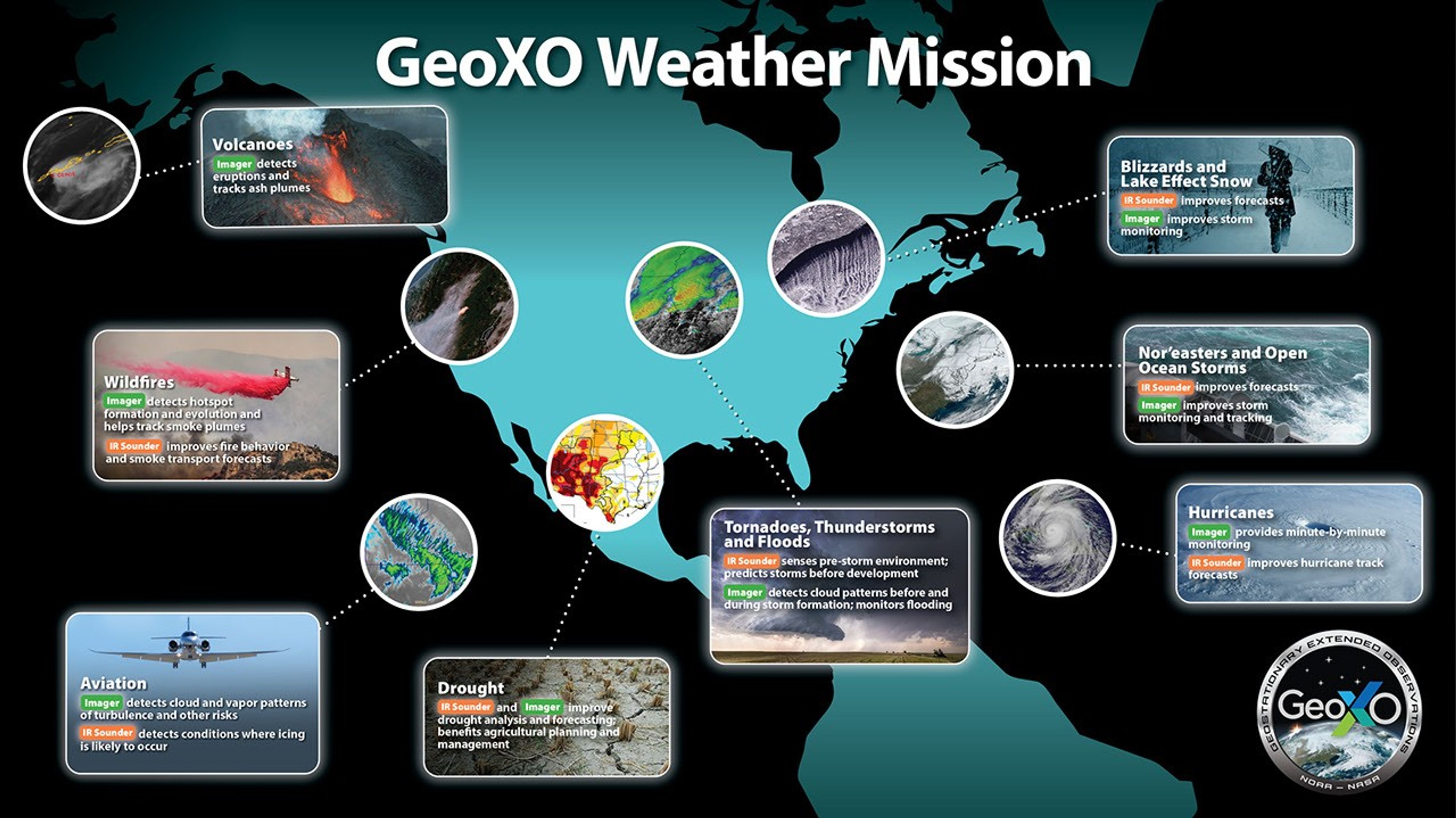
The GeoXO mission will bring new and improved capabilities for short-term forecasts and warnings of severe weather and environmental hazards. GeoXO will supply essential information for public safety, protection of property, and efficient economic activity.. NOAA plans for GeoXO to begin operations in the early 2030s as the GOES-R Series satellites near the end of their operation lifetimes. GeoXO will operate into the 2050s.
Instruments and Capabilities
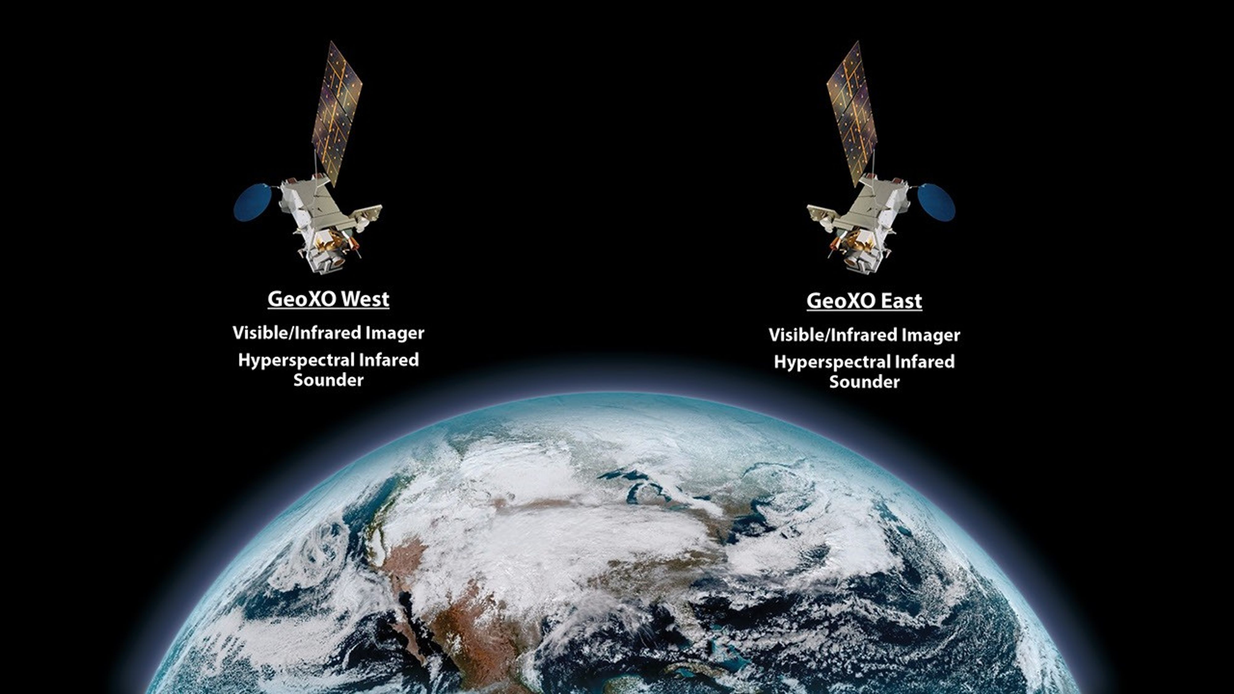
Planned GeoXO Observations
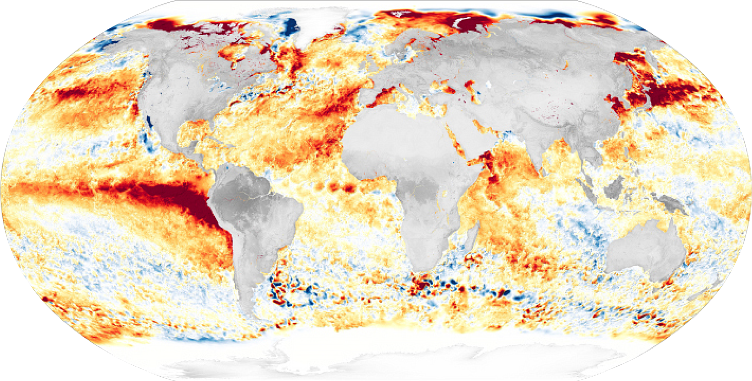
Visible and Infrared Imagery: Real-time, high-resolution visible and infrared imagery for monitoring Earth’s weather, oceans, and environment.
Hyperspectral Infrared Sounding: Real-time information about the vertical distribution of atmospheric moisture, winds and temperature for better numerical weather prediction and forecasts for short-term severe weather.

GeoXO News Feed

the development and evolution of NOAA’s Geostationary Operational Environmental Satellites (GOES) has been a major achievement for weather forecasting. For…

Introduction The second joint Ozone Monitoring Instrument (OMI)–TROPOspheric Monitoring Instrument (TROPOMI) Science Team (ST) meeting was held June 3–6, 2024.…

Near 50 years of GOES satellites collaborations between NASA and NOAA culminate in the 2024 GOES-U launch.
NASA, on behalf of the National Oceanic and Atmospheric Administration (NOAA), has selected Lockheed Martin Corp. of Littleton, Colorado, to…

NASA, on behalf of the National Oceanic and Atmospheric Administration (NOAA), selected Ball Aerospace & Technologies Corporation of Boulder, to…

NASA, on behalf of the National Oceanic and Atmospheric Administration (NOAA), has selected L3Harris Technologies Inc. of Fort Wayne, Indiana,…
Contacts / Media
-
01
-
02