


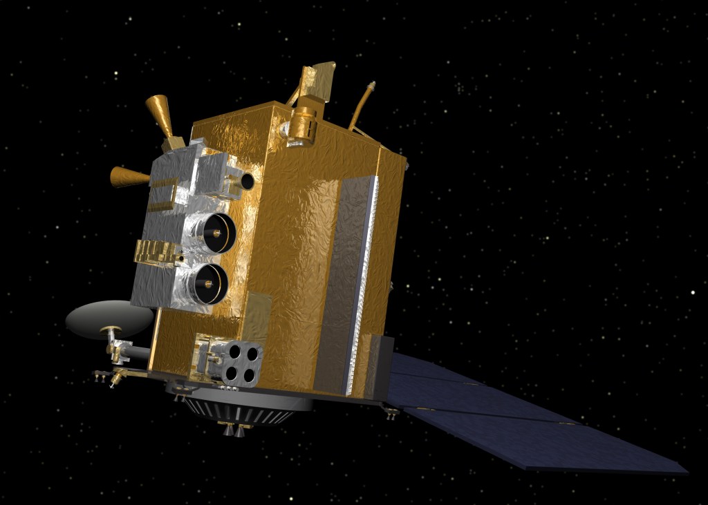
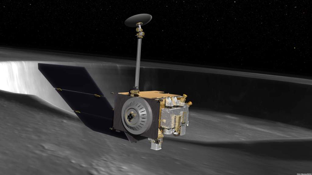
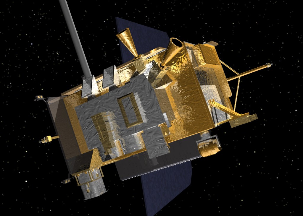
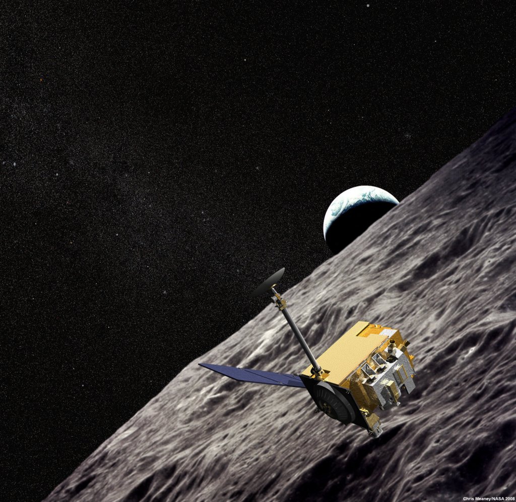
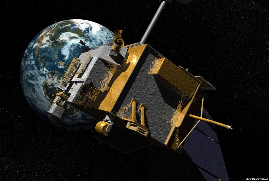
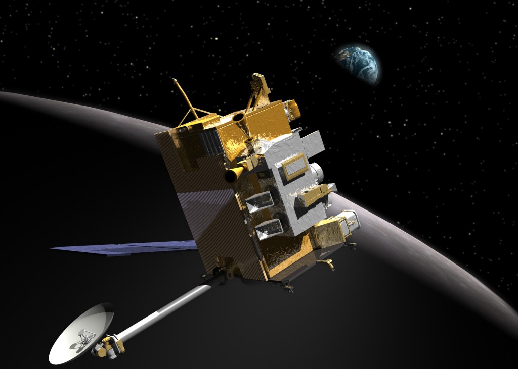
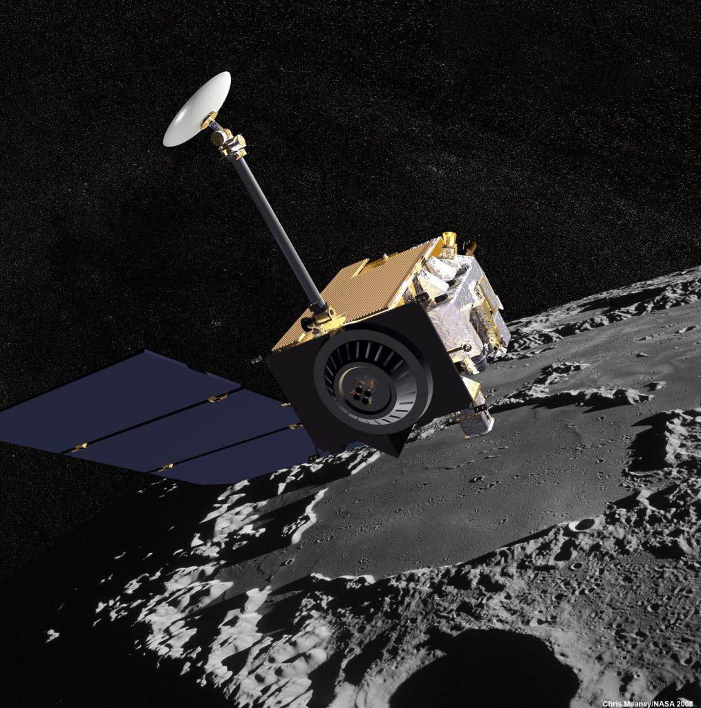
Spacecraft and Instruments

The LRO Instrument Suite
LRO has several instruments that help NASA characterize the Moon's surface. This science equipment brings the Moon into sharper focus and reveals new insights about the celestial body nearest to Earth.
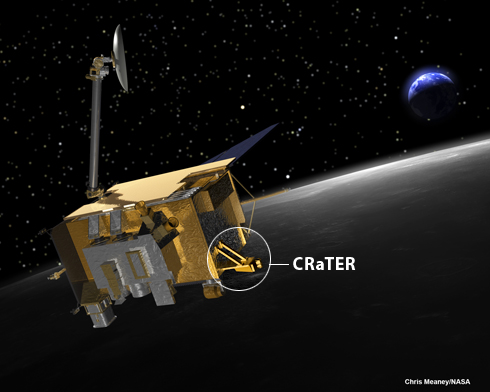
Cosmic Ray Telescope for the Effects of Radiation (CRaTER)
CRaTER characterizes the lunar radiation environment and determine its potential biological impacts. CRaTER also tests models of radiation effects and shielding, which may enable the development of protective technologies.
Diviner Lunar Radiometer
Diviner provides orbital thermal mapping measurements, giving detailed information about surface and subsurface temperatures (identifying cold traps and potential ice deposits), as well as landing hazards such as rough terrain or rocks.
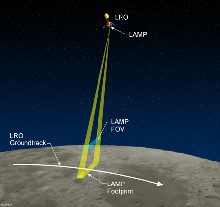
Lyman Alpha Mapping Project (LAMP)
LAMP maps the entire lunar surface in the far ultraviolet spectrum. LAMP also searches for surface ice and frost in the polar regions and provides images of permanently shadowed regions illuminated only by starlight.
Lunar Exploration Neutron Detector (LEND)
LEND creates high-resolution hydrogen distribution maps and provides information about the lunar radiation environment. It is used to search for evidence of water ice on the Moon's surface, and provides measurements useful for future human exploration.
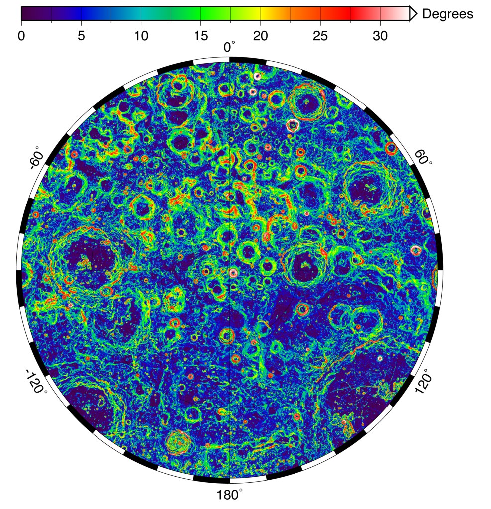
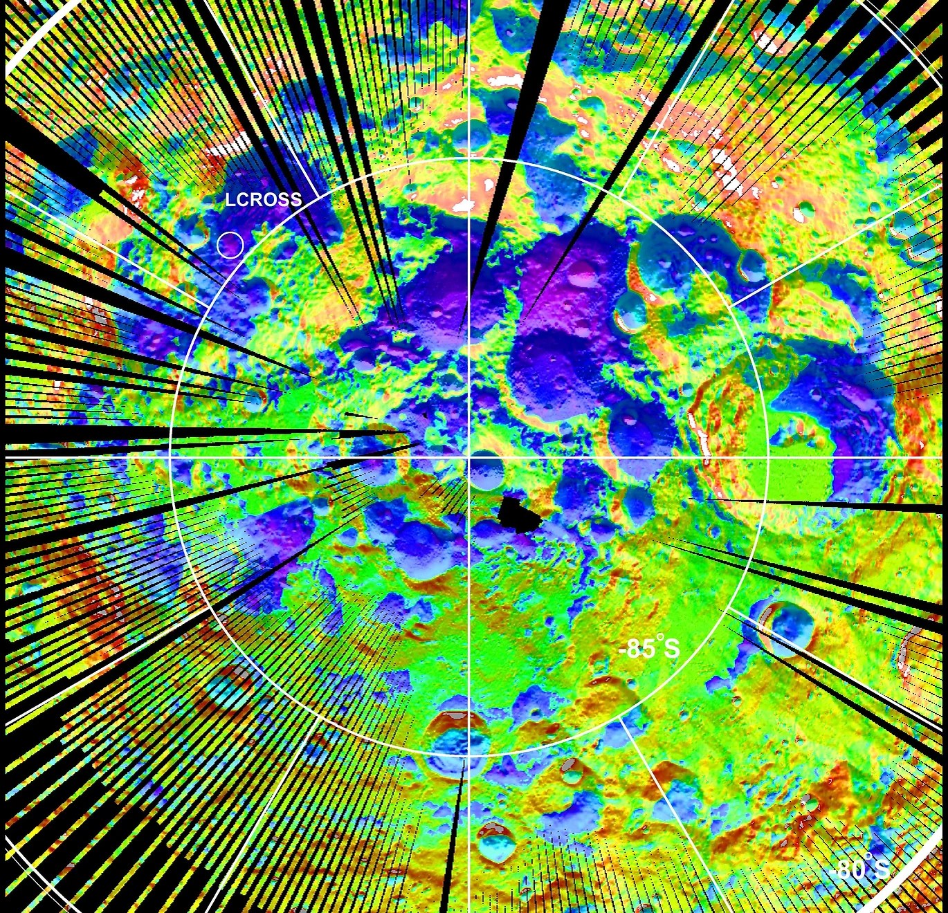
Lunar Orbiter Laser Altimeter (LOLA)
LOLA measures landing site slopes and lunar surface roughness, and generates a high-resolution 3D maps of the Moon. LOLA also identifies the Moon's permanently illuminated and permanently shadowed areas by analyzing lunar surface elevations.

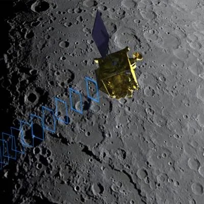
Lunar Reconnaissance Orbiter Camera (LROC)
LROC retrieves high resolution black-and-white images of the lunar surface. These images provide knowledge of polar illumination conditions, help scientists identify potential resources, hazards, and enable safe landing site selection.
Mini-RF Technology Demonstration
The primary goal of Mini-RF is to search for subsurface water ice deposits. Mini-RF also captures high-resolution imagery of permanently-shadowed regions.
Building the LRO Spacecraft
The spacecraft was built by engineers at NASA's Goddard Space Flight Center in Greenbelt, Md. It was then put through extensive testing. The orbiter was subjected to the extreme temperature cycles of the lunar environment as engineers conducted simulated flight operations. "We have cooked LRO, frozen it, shaken it, and blasted it with electromagnetic waves, and still it operates," said Dave Everett, LRO mission system engineer at Goddard. "We have performed more than 2,500 hours of powered testing."

LRO Spacecraft Specs
- One year primary mission in ~50 km polar orbit followed by extended missions in communication relay/south pole observing, low-maintenance orbit
- LRO total mass: ~ 1000 kg/400 W
- Payload capacity: 100 kg/100W
- 3-axis stabilized pointed platform (~ 60 arc-sec or better pointing)
- Articulated solar arrays and Li-Ion battery
- Spacecraft to provide thermal control services to payload elements if required
- Ka-band high rate downlink ( 100-300 Mbps, 900 Gb/day), S-band up/down low rate
- Centralized Mission Operations Center directs spacecraft data to the individual instrument Science Operations Centers, where the data are processed and calibrated, and higher-level data products (such as maps) are created.
- Command & Data Handling : MIL-STD-1553, RS 422, & High Speed Serial Service, PowerPC Architecture, 200-400 Gb SSR, CCSDS
- Mono or bi-prop propulsion (500-700 kg fuel)