Mariner 7
Type
Launch
Target
Objective
What was Mariner 7?
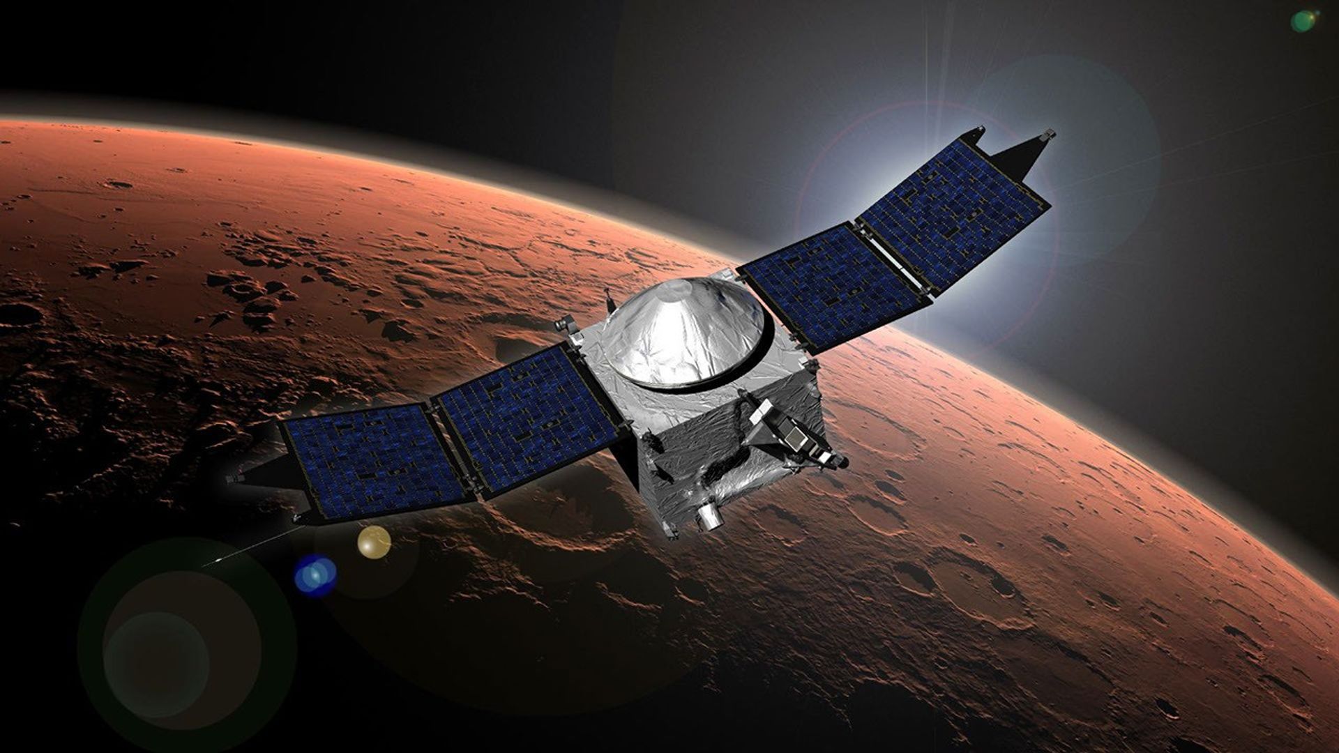
Mariner 7 made a close flyby of Mars just five days after its twin, Mariner 6. Scientists were able to instruct it to take additional pictures of the south pole, which had piqued their interest during Mariner 6's flyby.
| Nation | United States of America (USA) |
| Objective(s) | Mars Flyby |
| Spacecraft | Mariner-69G |
| Spacecraft Mass | 840 pounds (381 kilograms) |
| Spacecraft Power | Solar |
| Mission Design and Management | NASA / JPL |
| Launch Vehicle | Atlas Centaur (AC-19 / Atlas 3C no. 5105C / Centaur D-1A) |
| Launch Date and Time | March 27, 1969 / 22:22:01 UT |
| Launch Site | Cape Canaveral, Fla. / Launch Complex 36A |
| Scientific Instruments | 1. Imaging System (Two TV cameras) 2. Infrared Spectrometer 3. Ultraviolet Spectrometer 4. Infrared Radiometer 5. Celestial Mechanics Experiment 6. S-Band Occultation Experiment 7. Conical Radiometer |
Results
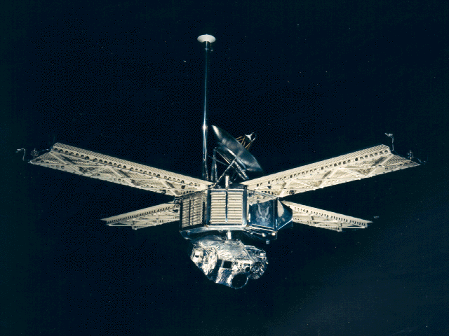
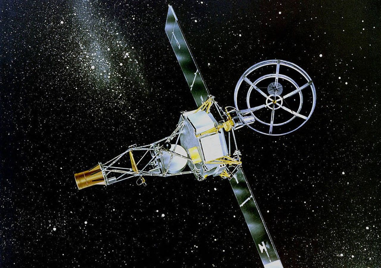
Identical to Mariner 6, NASA's Mariner 7 had a similar mission of flying by Mars. After Mariner 6 had returned intriguing photos of Mars’ south polar cap, controllers reprogrammed Mariner 7’s control system to increase the number of scans of the south pole from 25 to 33.
Mariner 7 launched at 22:22:01 UT March 27, 1969, from Cape Canaveral, Florida, about a month after its twin (Mariner 6 was launched Feb. 25, 1969).
On July 30, 1969, just 7 hours before its twin was scheduled to fly by Mars, the deep space tracking station at Johannesburg, South Africa, lost contact with Mariner 7's high-gain antenna. One of two stations in Madrid, Spain, was diverted from their original missions of tracking Pioneer 8 and joined the search for Mariner 7.
Fortunately, the Pioneer station at Goldstone picked up faint signals from the spacecraft. Controllers sent commands to Mariner 7 to switch to the low-gain antenna that worked well afterward.
Mission controllers speculated that the spacecraft had been thrown out of alignment when struck by a micrometeoroid. Later speculation centered on whether the silver-zinc battery onboard exploded and vented electrolytes to make it act like a thruster. Whatever the cause, 15 telemetry channels were lost.
Despite problems with positional calibration, Mariner 7 recorded 93 far-encounter and 33 near-encounter images of Mars, showing heavily cratered terrain very similar to Mariner 6.
Closest approach to Mars was at 05:00:49 UT on Aug. 5, 1969, at a distance of about 2,130 miles (3,430 kilometers).
Oddly, despite the high resolution of 980 feet (300 meters), Mariner 7 found the center of Hellas to be devoid of craters.
The spacecraft found a pressure of 3.5 millibars and a temperature of minus 90 degrees Fahrenheit (minus 67.8 degrees Celsius) at 59 degrees south latitude and 28 degrees east longitude in the Hellespontus region, suggesting that this area was elevated about 4 miles (6 kilometers) above the average terrain.
The post-flight analysis showed that at least three photos from Mariner 7 included the moon Phobos. Although surface features were not visible, the pictures clearly showed the moon to be irregularly shaped.
Mariner 7 entered heliocentric orbit (1.11 × 1.70 AU) and NASA continued to receive data from the spacecraft until mid-1971.


