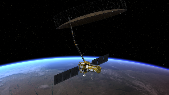
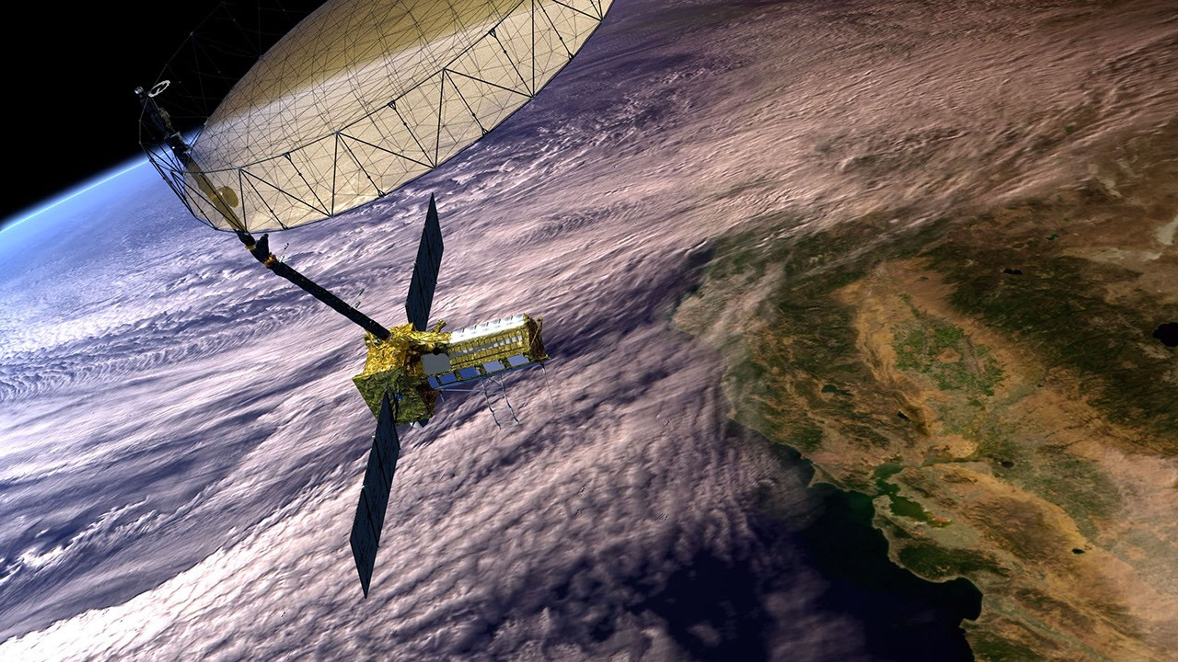
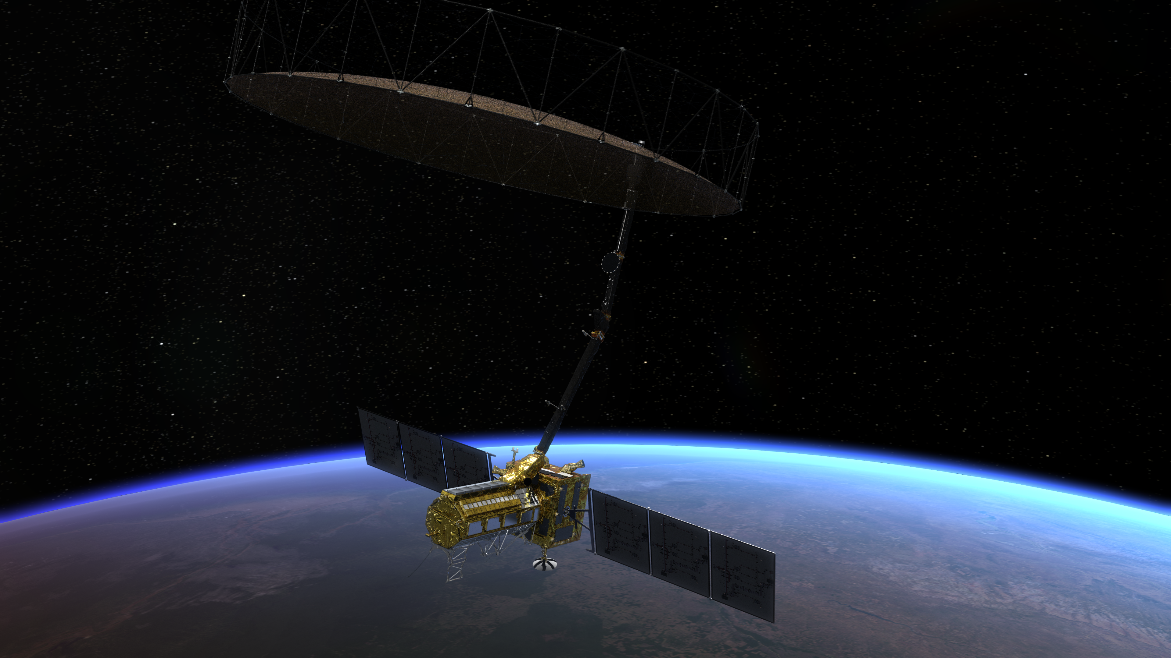
NISAR Data Overview

Explore Available NISAR Data Products and Resources
NISAR Sample
Data Product Suite
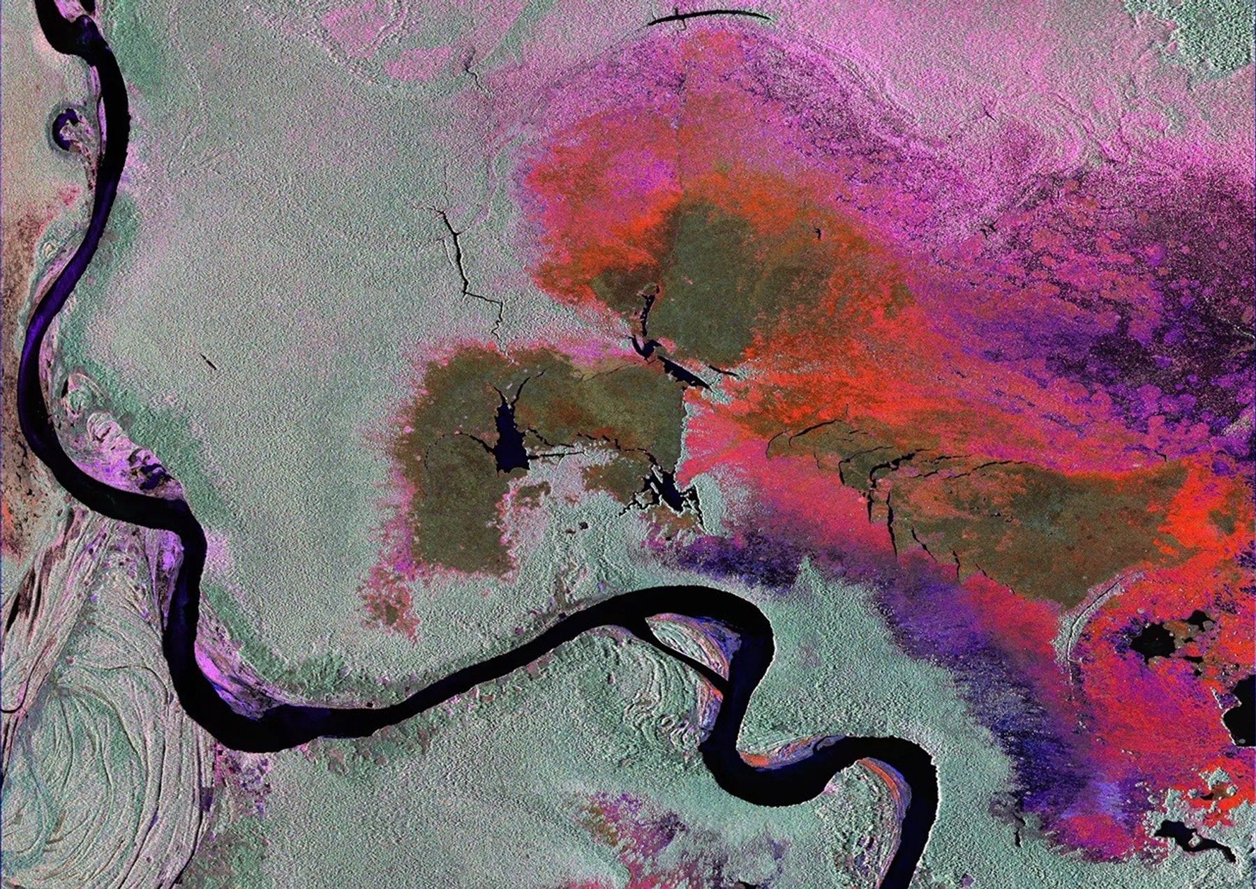
The project team has created a set of sample products using JAXA ALOS-1 PALSAR data as a surrogate for NISAR. The sample covers the full suite of planned products, from Level 0 raw data (in NISAR format) to Level 1 and Level 2. These data cover a smaller area than a NISAR frame, but the formate and metadata content is fully compatible with the data NISAR will produce after entering the science phase, allowing users to prepare their analysis tools well in advance of operations. In addition, a suite of products based on full-frame simulated radar data will be made available.

NISAR UAVSAR
Sample Data Products
We also have created a set of prototype data products from the UAVSAR airborne L-band radar. The data have been altered to emulate NISAR data by changing the bandwidth and noise level. By comparing these to the full resolution, low noise UAVSAR data sets, users can better understand the nature of the NISAR data.
NISAR UAVSAR
Product Guide
A guide for downloading data, processing notes, product descriptions, naming conventions, and known issues can be found here. Note: these products have incomplete metadata relative to the current product suites listed on this page but should have all the essential elements for interpreting and analyzing them.
Other Products in
NISAR Format
Sentinel-1 Interferogram (BETA) products are prototype Level 2 NISAR-Format interferometric products produced using the ARIA Science Data System. The creation, discovery, and distribution of these products can help users with developing cloud-based processing and data management solutions. As such, these prototype products are not part of the ASF long-term archive and may become unavailable at any time as new SAR interferometric processing and delivery methods are explored. More information is available here.

Other Data Sets
of Interest
This dataset is the first-of-its-kind spatial representation of multi-seasonal, global SAR repeat-pass interferometric coherence and backscatter signatures. Global coverage comprises all land masses and ice sheets from 82 degrees northern to 78 degrees southern latitude. The dataset is derived from high-resolution multi-temporal repeat-pass interferometric processing of about 205,000 Sentinel-1 Single-Look-Complex (SLC) data acquired in Interferometric Wide-Swath mode (Sentinel-1 IW mode) from 1-Dec-2019 to 30-Nov-2020.