


Mars Odyssey
Science Highlights
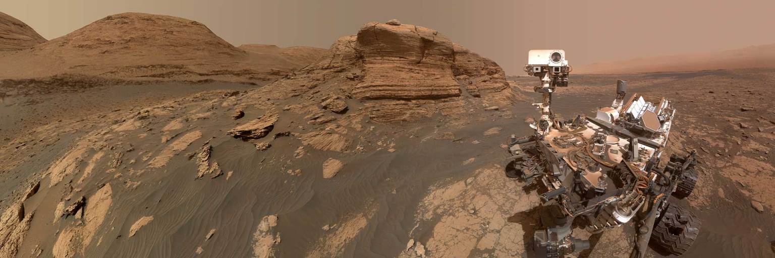
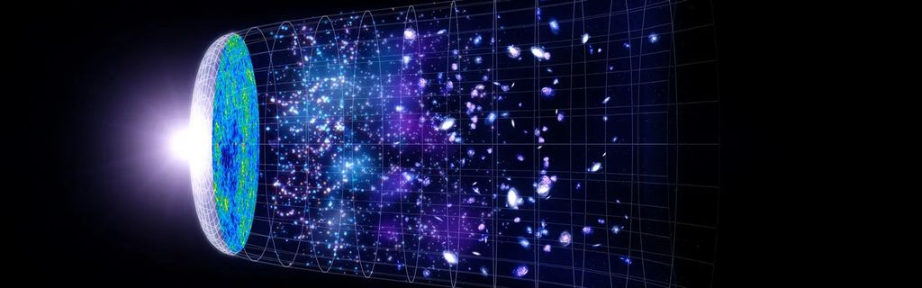
During its approximately 23 years in orbit around Mars, NASA's Mars Odyssey spacecraft had beamed back more than a million images and about 150 gigabytes of data. That wealth of data has yielded an abundance of significant scientific knowledge about water ice on Mars, the composition and physical properties of the planet's surface, and Mars' two moons.
Mapping Martian Ice
While Mars no longer has lakes and rivers as it did in the distant past, Mars still has abundant water in the form of ice. This ice moves back and forth between Mars' polar caps, the atmosphere (as fogs, vapor, and clouds), and the surface (as frost and ground ice). Learning more about the planet's current water cycle helps scientists understand the workings of a dusty, icy planet and how it has changed over time. Early in Odyssey's mission, the orbiter mapped water signatures in the top 3 feet (1 meter) of the surface using its gamma-ray spectrometer suite, revealing large expanses of near-surface water ice in the high latitudes of Mars. This hidden water reservoir was later confirmed by NASA's Phoenix lander, which dug into the surface and struck the predicted ice layer.
Odyssey's THEMIS (Thermal Emission Imaging System) instrument, which sees the planet in visible and infrared light, has been tracking water by observing the planet in the frigid early morning, when its valleys are filled with fog, clouds accumulate on its high mountains, and parts of its surface are covered in a layer of overnight frosts of water and dry ice.
Understanding the Martian water cycle provides insights into how water moves around the planet and is affected by the tilt of Mars. Information gathered helps us better understand the history and activity of water through the eons on our home planet, Earth. This also helps plan for future human Mars missions, which will require water for astronauts.
- Solving the Mystery of Frost Hiding on Mars
- NASA's Treasure Map for Water Ice on Mars
- Fresh Look at Older Data Yields a Surprise Near the Martian Equator
- Mars May Be Emerging From an Ice Age
- NASA's Revealing Odyssey
- Odyssey Finds Water Ice in Abundance Under Mars' Surface
- Seismogram from Mars
Determining the Composition of Mars
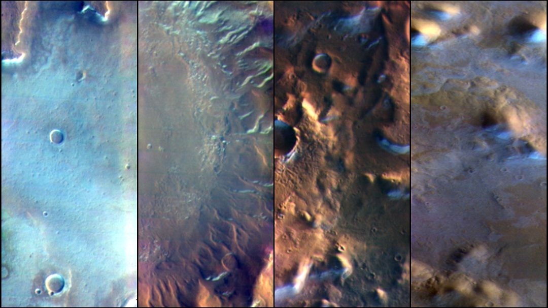
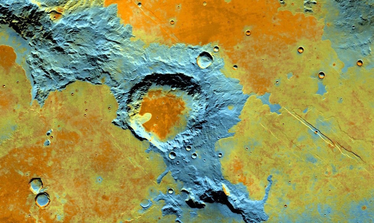
Odyssey's extensive observations of the Martian surface have helped scientists piece together information about the planet's history. One of Odyssey's major contributions to Martian science was a detailed global map of Mars created using thousands of images from its THEMIS instrument. THEMIS was designed to measure surface temperatures over the course of multiple nights and days during repeated passes over Mars. This has helped pinpoint the locations of rock, sand, and dust, and map craters, valley networks, sandstone, salts, and iron-rich rock. THEMIS also identifies minerals on the Martian surface that other spacecraft cannot see. Meanwhile, Odyssey's GRS instrument mapped the elements that are on the Martian surface. Together, the instruments revealed unique information about the makeup of Mars.
- New Gravity Map Gives Best View Yet Inside Mars
- NASA Mars Orbiters See Clues to Possible Water Flows
- Potassium Concentrations on Mars
- Odyssey Thermal Data Reveals a Changing Mars

Observing Mysterious Moons
Odyssey's THEMIS camera, used extensively to observe the Martian surface, has also captured new views of Phobos and Deimos, two moons of Mars. By studying temperature variations on each moon, we now know much more about surface materials and their characteristics. This type of information helps scientists in their quest to determine whether the moons are chunks of Mars launched into orbit above the planet by an ancient collision, or whether they are captured asteroids.
- Three New Views of Mars' Moon Phobos
- Why This Martian Full Moon Looks Like Candy
- Examining Mars Moon Phobos in a Different Light

Beaming Science Back to Earth; Helping Future Human Missions
Even when it hasn't been transmitting its own science data back to Earth, Odyssey has sent back data from other missions via its participation in the Mars Relay Network. This capability has been extremely valuable, because an orbiter can carry radios and antennas that can send and receive more data than a spacecraft on the surface of Mars. Odyssey has been a messenger from Mars routinely through the years with NASA's rovers, enabling scientists to get data from the Mars surface much faster, and speeding up the process of sharing Mars images with the public.
Another Odyssey activity will benefit future human Mars explorers. By recording the radiation environment from its low orbit over the planet, the spacecraft has helped determine radiation risks that could face humans who may someday go to Mars.