Technology
The Earth Science Technology Office (ESTO) takes on the technical challenges of Earth observations by funding, developing and demonstrating cutting-edge technologies that can be reliably and confidently applied to a broad range of Earth science measurements and missions.
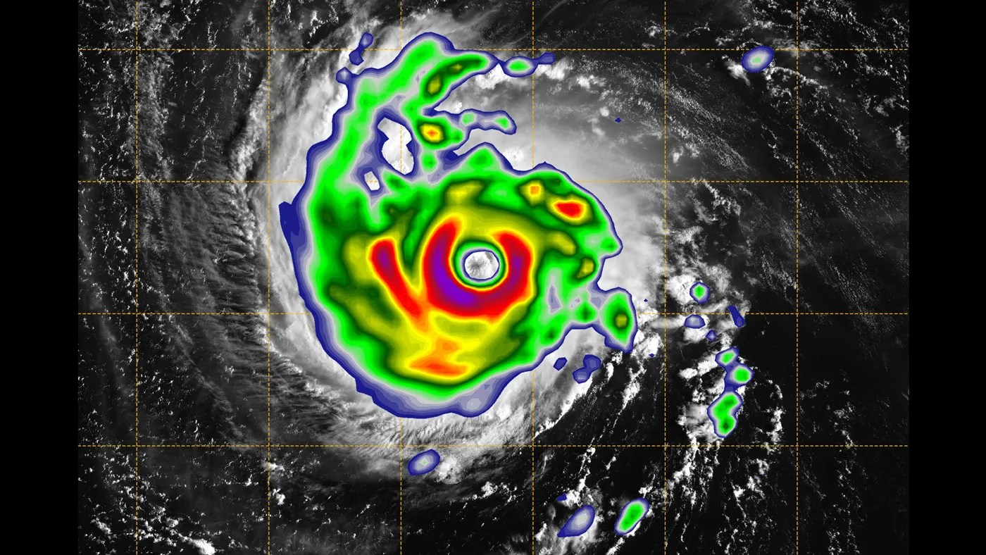
From next-generation sensors and instruments to communication systems and computer modeling, ESTO technologies enable new observations of our home planet and new insights about Earth’s natural systems. ESTO-funded technologies also regularly lead to spin-off or commercial applications that benefit society overall.
Through flexible, science-driven technology strategies and a competitive selection process, ESTO has engaged more than 120 institutions, universities and corporations nationwide to build a broad portfolio of more than 800 past and active investments.
ESTO invests in technology innovation through five primary program lines. They are:
- Instrument Incubator Program (IIP) develops robust measurement techniques and instruments that are smaller, less expensive and lower the risk of building space-ready scientific instruments.
- Advanced Component Technologies (ACT) focuses on the critical components and sub-systems needed to support Earth-observing scientific instruments.
- Sustainable Land Imaging Technology (SLI-T) develops technology specifically designed to reduce the cost and risk of future land imaging (Landsat) measurements.
- Advanced Information Systems Technology (AIST) develops innovative ways to utilize data through its lifecycle, from generation to analysis. This leads to increased uses and better understanding of remote-sensing data and model output which, in turn, results in new measurement and data products.
- In-Space Validation of Earth Science Technologies (InVEST) tests instruments in orbit to confirm their effectiveness and to reduce risk, which is vital for small instruments and instrument systems that could not otherwise be fully tested on the ground or via airborne systems.

