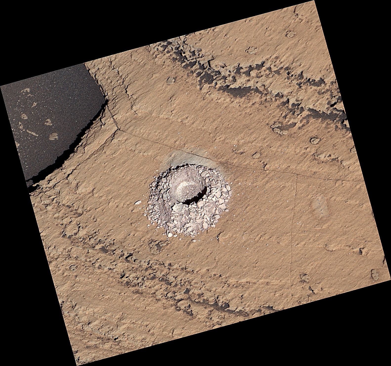
Curiosity’s Navcams View the Area Around ‘Sequoia’
| Credit | NASA/JPL-Caltech |
|---|---|
| Language |
|
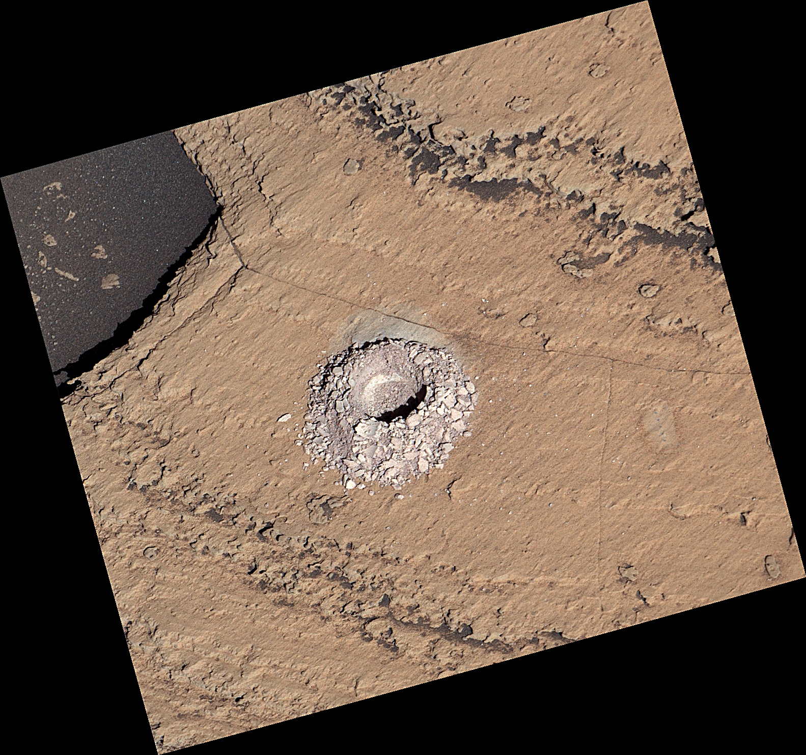
NASA’s Curiosity Mars rover captured this 360-degree panorama using its black-and-white navigation cameras, or Navcams, at a location where it collected a sample from a rock nicknamed “Sequoia.” This panorama was captured on Oct. 21 and 26, 2023, the 3,984th and 3,989th Martian days, or sols, of the mission.
The sample from Sequoia marks the 39th hole that Curiosity drilled into the Martian surface. While the Perseverance rover collects intact rock cores, Curiosity’s rock samples are powderized, then sprinkled into instruments within the rover’s chassis. These instruments can provide highly detailed compositional data.
Since 2014, Curiosity has been ascending the 3-mile-tall (5-kilometer-tall) Mount Sharp, a mountain with distinct layers that formed in different eras of ancient Martian history. By studying the differences between these layers, scientists are learning more about how the Martian climate – and especially its water – changed over time.
Figure A is the same image with the Sequoia drill hole circled in red.
Figure B is a 3D anaglyph version of the scene.
Curiosity was built by NASA’s Jet Propulsion Laboratory, which is managed by Caltech in Pasadena, California. JPL leads the mission on behalf of NASA’s Science Mission Directorate in Washington.
For more about Curiosity, visit: http://mars.nasa.gov/msl


