Curiosity’s View From Before Final Approach to ‘The Kimberley’ Waypoint
| Credit | NASA/JPL-Caltech |
|---|---|
| Language |
|
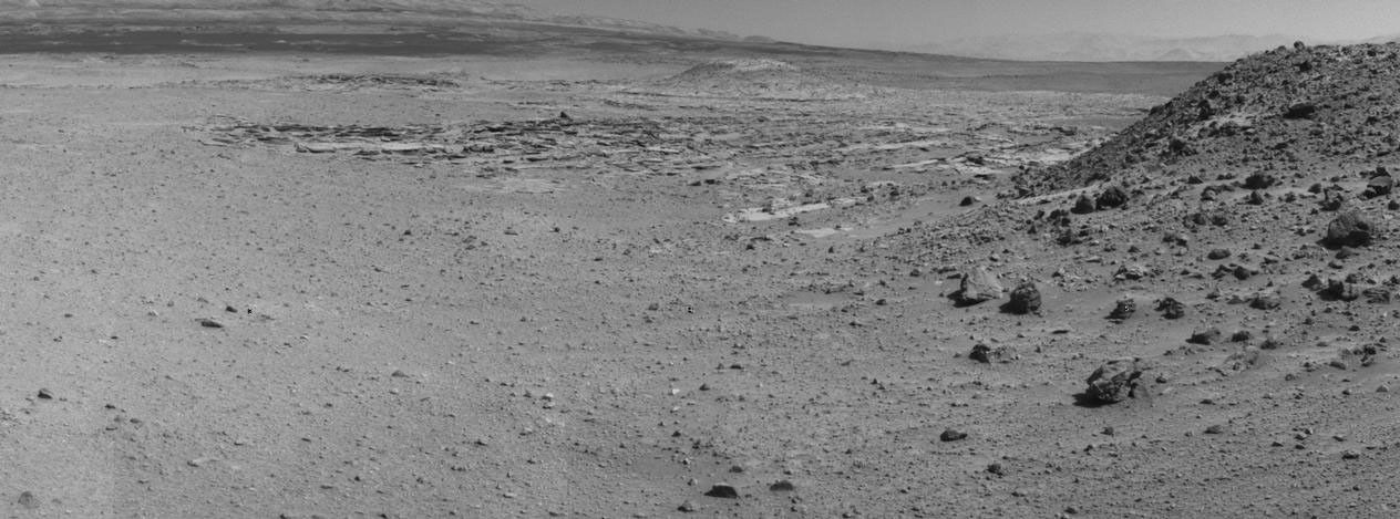
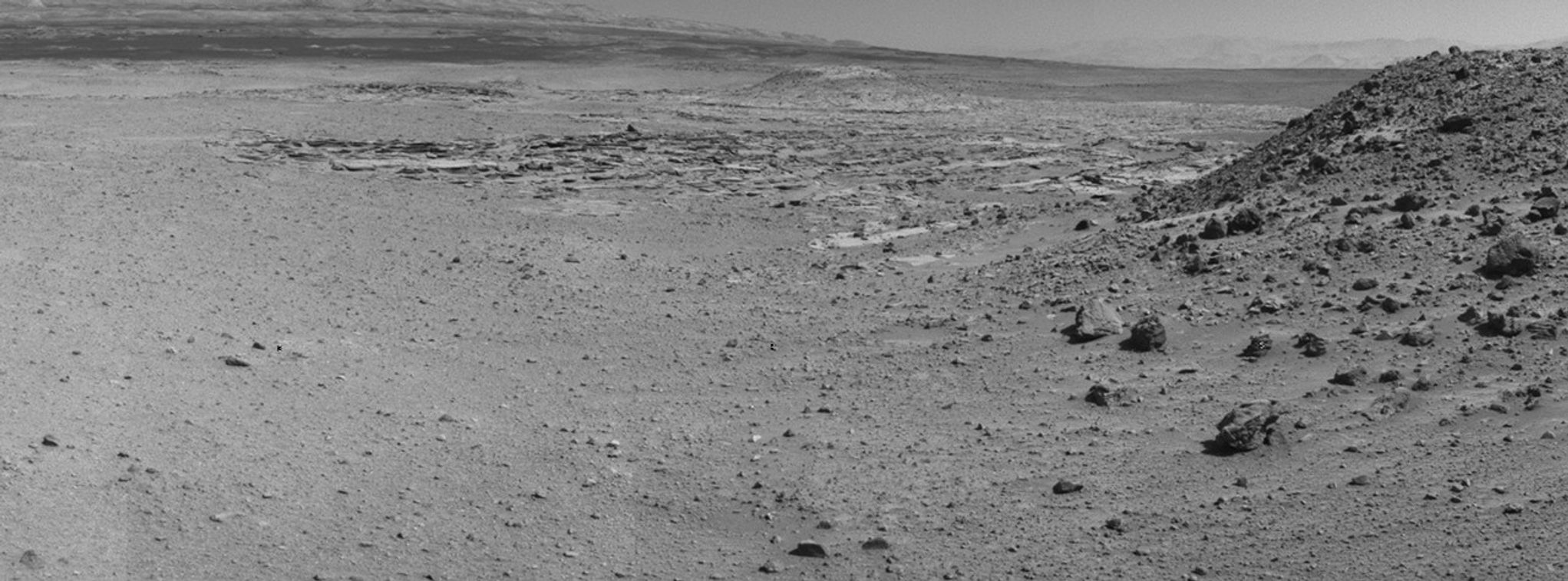
This view from NASA's Curiosity Mars rover was taken the day before the rover's final approach drive to "the Kimberley" waypoint, selected months ago as the location for the mission's next major investigations.
The view extends from south-southeast at left to west-southwest at right. Its component frames were taken by Curiosity's Navigation Camera (Navcam) on the 588th Martian day, or sol, of the rover's work on Mars (April 1, 2014). Curiosity had driven 150 feet (45.6 meters) on Sol 588 before imaging this scene. On Sol 589, it drove 98 feet (30 meters) further to a location left of center in this view, chosen as a vantage point for extensive imaging of the various rock types exposed at the Kimberley. The Sol 589 drive took the rover past the mound to the west at the Sol 588 location (at left in this image)
The mission's prime science destinations are on the lower slope of Mount Sharp, which is on the horizon of this scene.
NASA's Jet Propulsion Laboratory, a division of the California Institute of Technology, Pasadena, manages the Mars Science Laboratory Project for NASA's Science Mission Directorate, Washington. JPL designed and built the project's Curiosity rover and the rover's Navcam.


