


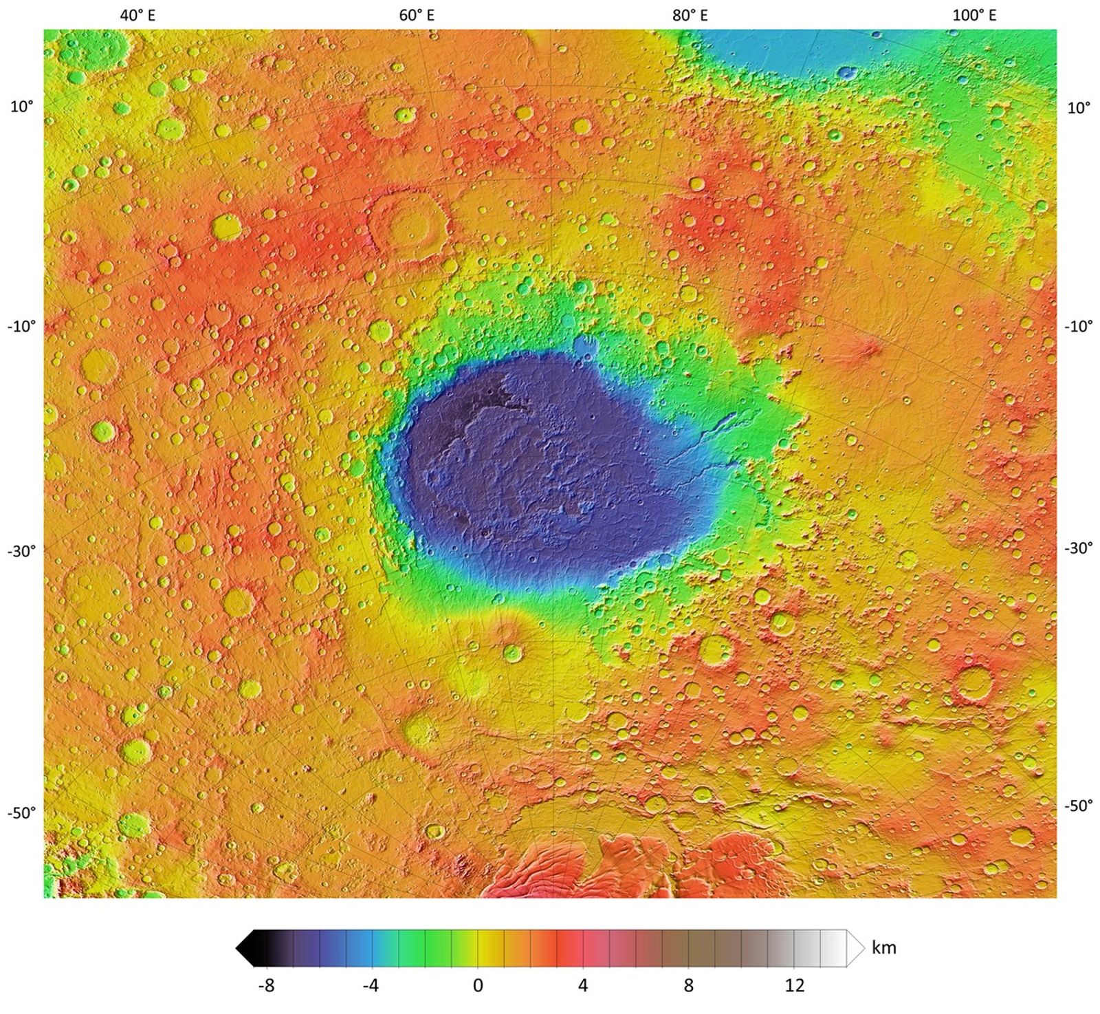
Topographic Map of Hellas Planitia
January 19, 2007
| Credit | NASA/JPL-Caltech/Arizona State University |
|---|---|
| Language |
|
A colorized topographic map of the martian impact basin Hellas, together with its surroundings, from the Mars Orbiter Laser Altimeter (MOLA) instrument of the Mars Global Surveyor spacecraft.
