Latest NASA Science News
Stay up-to-date with the latest news from NASA Science as we explore the universe, solar system, sun and our home planet Earth.
Filters

Editor’s note: NASA has updated an earlier version of this blog to provide additional details. NASA is taking steps to potentially roll back the Artemis II rocket and Orion spacecraft to the Vehicle Assembly Building (VAB) at the agency’s Kennedy…

NASA is targeting no earlier than Friday, March 6, for the launch of Artemis II, pending completion of required work at the launch pad, analysis of test data, and the outcome of a Flight Readiness Review in the coming days.…

The Expedition 74 crew wrapped up the week with cardiac and respiratory studies and conducting space exercise research to keep astronauts healthy off the Earth. The International Space Station residents also packed a SpaceX Dragon cargo spacecraft before its return…

Giant tortoises are returning to Floreana Island after more than 150 years, guided by NASA data that shows suitable areas for release.
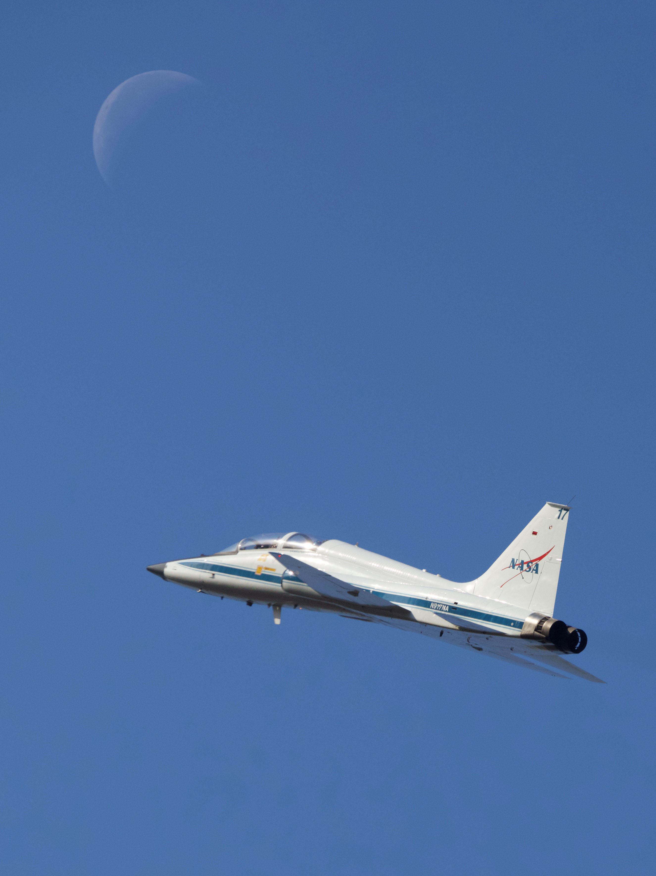
NASA astronaut Christina Koch and Canadian Space Agency astronaut Jeremy Hansen take off on a T-38 training flight from Ellington Field on Feb. 11, 2026, as a waning crescent Moon hovers above. Koch and Hansen, along with NASA astronauts Reid…

Dry, gusty conditions spurred fast-growing fires in Oklahoma and Kansas, along with dangerous dust storms across the region.
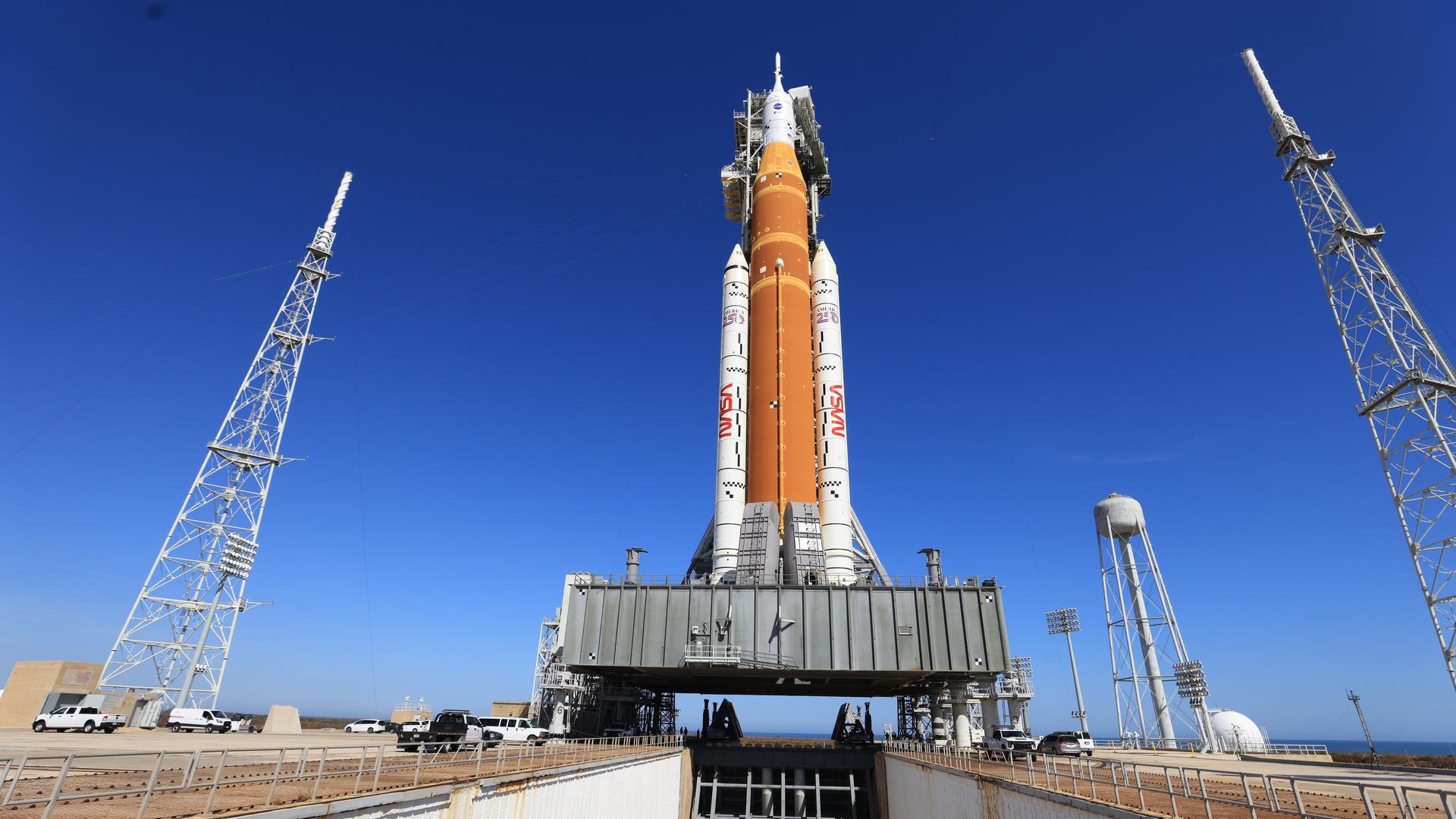
NASA successfully fueled its SLS (Space Launch System) rocket and demonstrated the launch countdown for Artemis II on Thursday during a wet dress rehearsal at the agency’s Kennedy Space Center in Florida. Engineers loaded more than 700,000 gallons of liquid propellant into the rocket, sent a closeout crew to the launch pad to demonstrate closing the…

New kinds of aircraft taking to the skies could mean unfamiliar sounds overhead — and where you’re hearing them might matter, according to new NASA research. NASA aeronautics has worked for years to enable new air transportation options for people…

At a news conference on Thursday, NASA released a report of findings from the Program Investigation Team examining the Boeing CST-100 Starliner Crewed Flight Test as part of the agency’s Commercial Crew Program. “The Boeing Starliner spacecraft has faced challenges throughout its uncrewed and most recent…
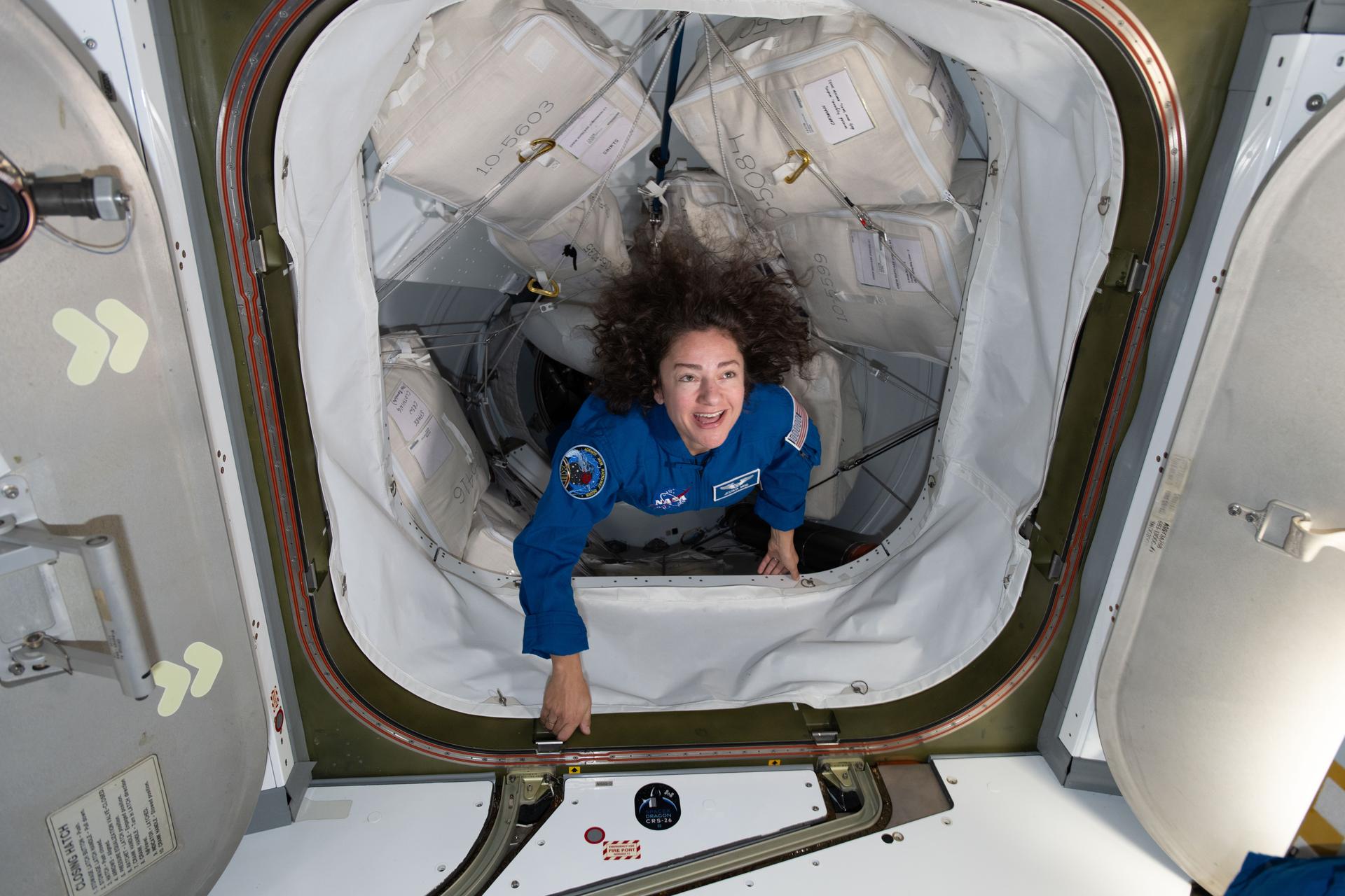
Relaxation, exercise, and biomedical studies were the key research objectives for the Expedition 74 crew on Thursday as NASA and its partners investigate ways to keep astronauts healthy on long-term missions. The International Space Station is also orbiting higher after…


