


Nuggets
What is a nugget?
A nugget is a one page snapshot of an event that impacted learners using NASA Science-funded experts, content, or authentic experiences.
May 2018
February 2018


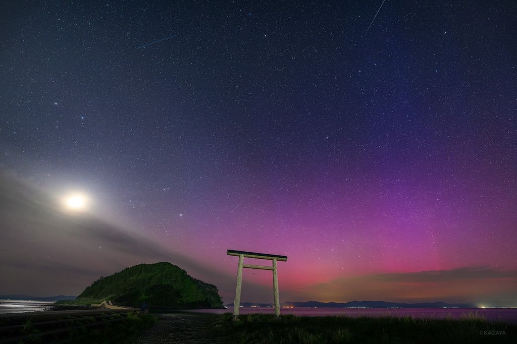
Michigan Bolide and Meteorites
January 2018

December 2017

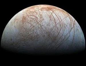
Plate Tectonics Possible on Europa

Juno finds atmospheric surprises at Jupiter

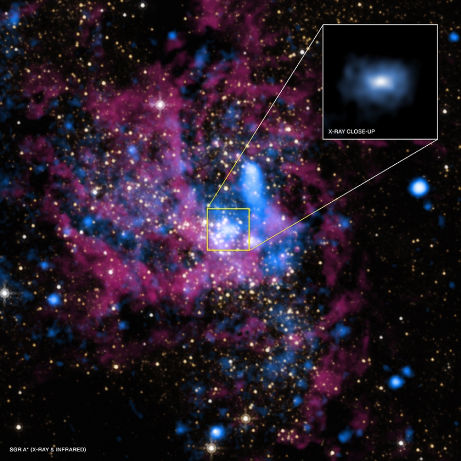
Discovery of the First Interstellar Object
November 2017

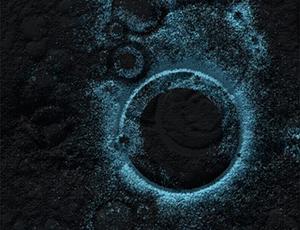
Volcanism and Hydrothermal Activity

October 2017

Solar Eruptions Electrify Moons of Mars

Ancient Lunar Atmosphere May Have Exited

First 3-D Map of Mars Magnetic Topology
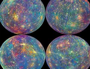
Build-up in Mercury’s Exosphere
September 2017

Next New Horizons Flyby Target


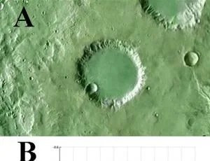
Florence Found to Be Ordinary Stony Chondrite
August 2017
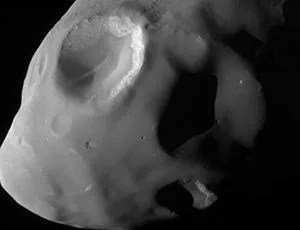
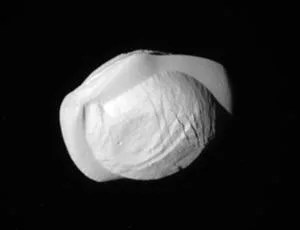
Pandora has Smooth and Groovy Terrains


Water-Rich Flows around Hale Crater
July 2017

Habitable Environments on Mars

June 2017

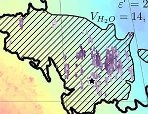
Dione’s Putative Subsurface Ocean

Juno Reveals Jupiter's Surprising Poles


Cliff Face Collapse on Comet 67P
May 2017

“Centaur” Buried in Icy Rings of Saturn?

Bright Streaks - Fast Winds on Mars


Little CO2 in Ancient Mars Atmosphere
April 2017

Asteroid 2014 JO25 Makes Close Approach to Earth
3-D Imaging of Martian Polar-Cap Interiors


March 2017
From Cassini’s Scenic Vista: A ‘Pan-tastic’ View


Understanding Aeolian Activity In Gale Crater
February 2017

Saturn Storm Serves Up Two “Flavors” of Hydrogen

New Ice Formation Mechanism on Titan


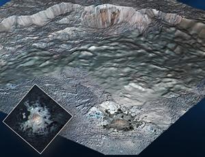
Pluto’s Global Surface Composition
January 2017
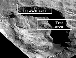
Lake Superior-Sized Ice Deposit on Mars
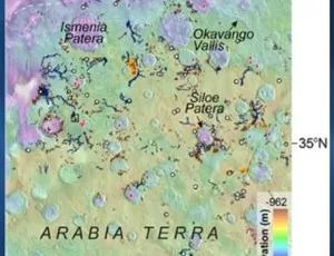
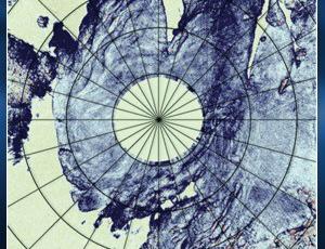
Valleys and Lakes in Northern Arabia Terra

Reorientation, Faulting, and an Ocean on Pluto


