Technology Highlights

NASA-developed Technology Supports Ocean Wind Speed Measurements from Commercial Satellite
A science antenna developed with support from NASA’s Earth Science Technology Office (ESTO) is now in low-Earth orbit aboard MuSat2, a commercial remote-sensing satellite flown by the aerospace company Muon Space. The dual-frequency science antenna was originally developed as part…

New NASA Instrument for Studying Snowpack Completes Airborne Testing
Summer heat has significant effects in the mountainous regions of the western United States. Melted snow washes from snowy peaks into the rivers, reservoirs, and streams that supply millions of Americans with freshwater—as much as 75% of the annual freshwater…

Entrepreneurs Challenge Prize Winner Uses Artificial Intelligence to Identify Methane Emissions
The NASA Science Mission Directorate (SMD) instituted the Entrepreneurs Challenge to identify innovative ideas and technologies from small business start-ups with the potential to advance the agency’s science goals. Geolabe—a prize winner in the latest Entrepreneurs Challenge—has developed a way…

NASA “Wildfire Digital Twin” Pioneers New AI Models and Streaming Data Techniques for Forecasting Fire and Smoke
NASA’s “Wildfire Digital Twin” project will equip firefighters and wildfire managers with a superior tool for monitoring wildfires and predicting harmful air pollution events and help researchers observe global wildfire trends more precisely.
New NASA Software Simulates Science Missions for Observing Terrestrial Freshwater
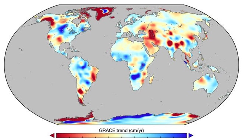
From radar instruments smaller than a shoebox to radiometers the size of a milk carton, there are more tools available to scientists today for observing complex Earth systems than ever before. But this abundance of available sensors creates its own…

Mighty MURI brings the heat to test new longwave infrared radiometer
NASA's new Multiband Uncooled Radiometer Instrument (MURI) features a novel bolometer that detects infrared radiation without a cryogenic cooler, greatly reducing the cost and complexity of dispatching infrared radiometers into low-Earth orbit.
New Software Enables Atmospheric Modeling with Greater Resolution
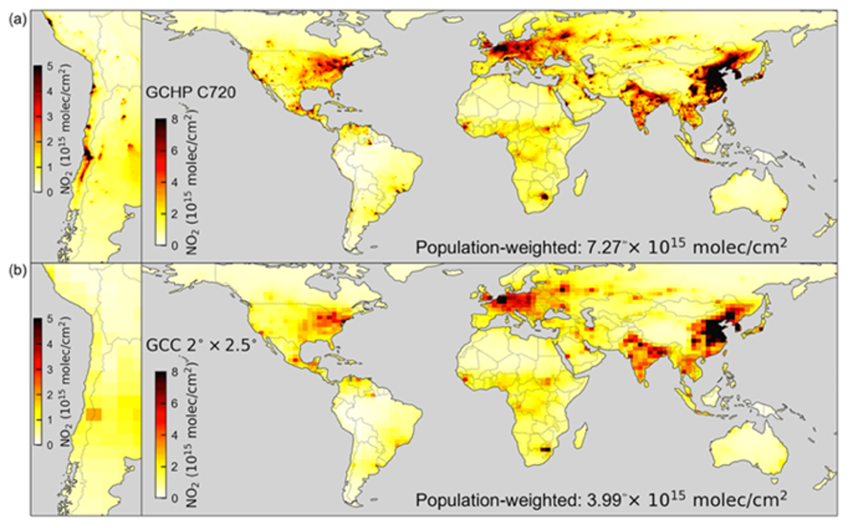
Next-generation software is making it easier for researchers, policy makers, and citizen scientists to model air quality and greenhouse gases using NASA meteorological data.
New NASA software could help predict water quality problems in the Chesapeake Bay
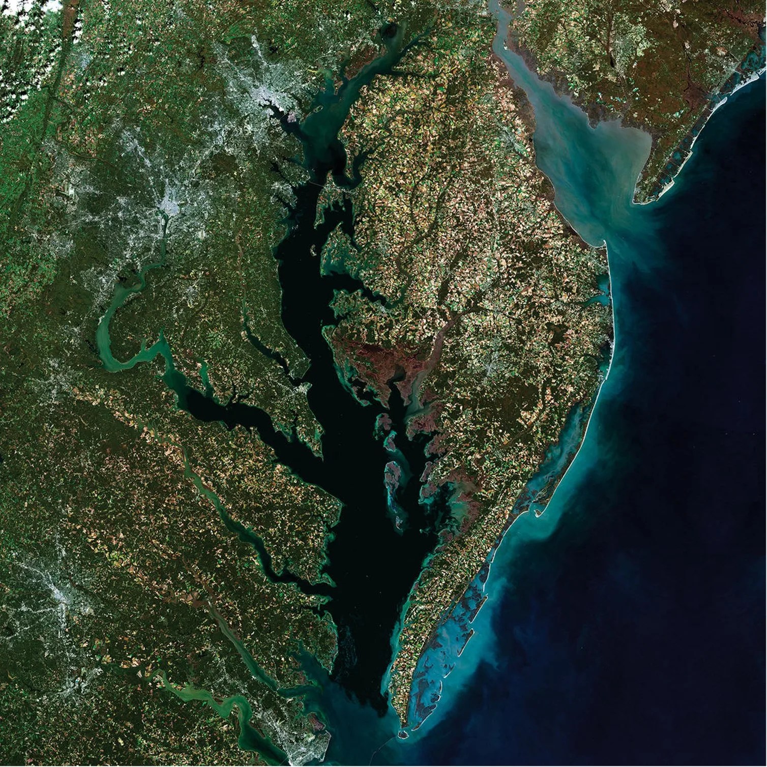
PROJECT Supporting Shellfish Aquaculture in the Chesapeake Using Artificial Intelligence SNAPSHOT A NASA team is training and verifying machine learning algorithms that will be used to identify areas of poor water quality in satellite images—starting with the Chesapeake Bay. Excess…
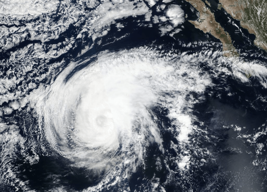
Next-generation Radar Receiver Set to Supply Scientists with Improved Weather Data
PROJECT Global Navigation Satellite System bistatic radar receiver (NGRx) SNAPSHOT An SMD-sponsored team is developing a new radar receiver that will enable future spaceborne instruments to process more signals and produce data at much higher resolution—greatly enhancing scientists’ ability to…

Advanced Satellite System Sets its Sights on Ice Clouds to Improve Weather and Climate Modeling
PROJECT Smart Ice Cloud Sensing (SMICES) SNAPSHOT With support from NASA’s Earth Science Technology Office (ESTO), a team of researchers is developing a new instrument that will help scientists better understand the impact high-altitude ice clouds have on weather and…
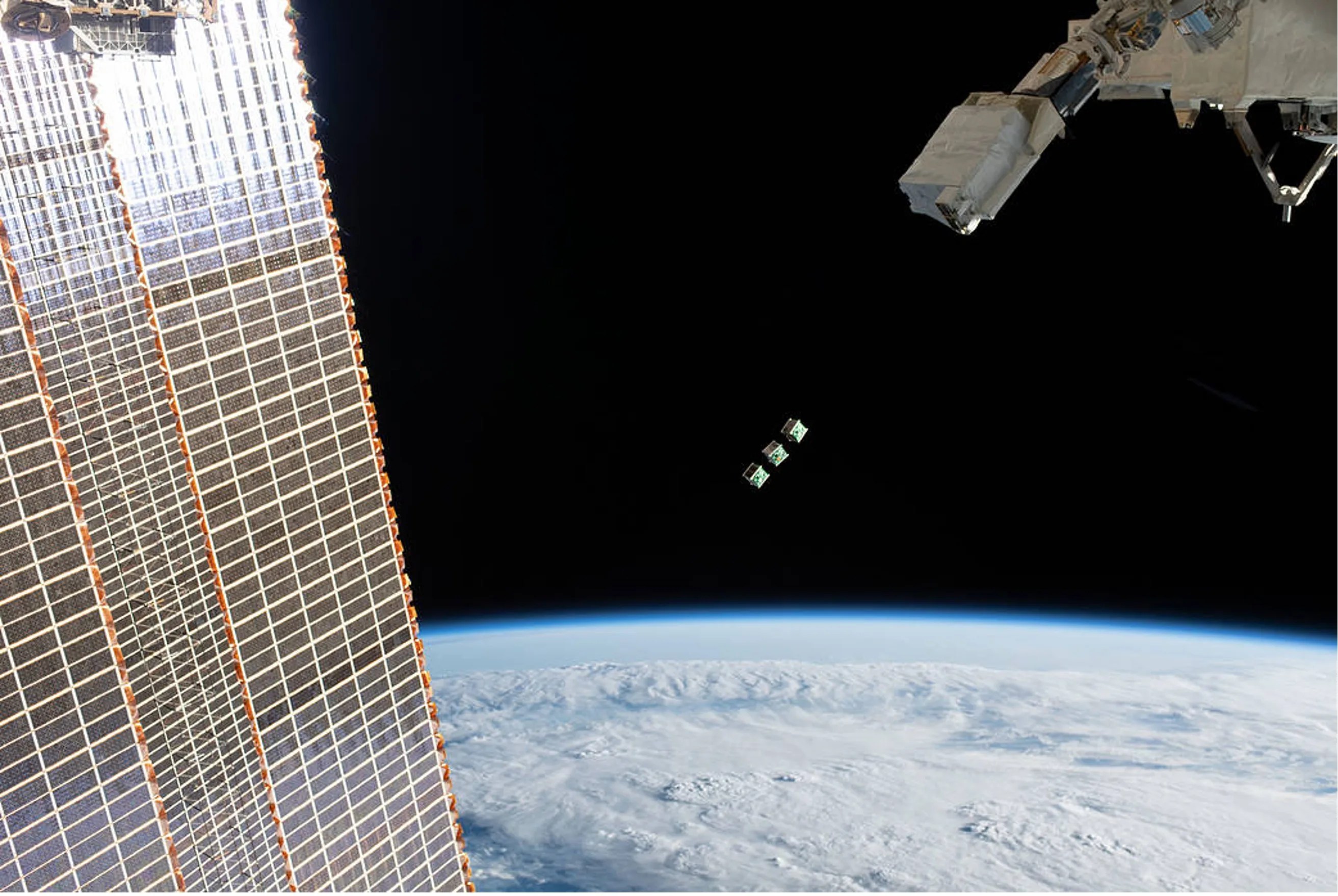
SMARTIE Computer Tiles Could Provide Satellites with Advanced Data Processing Power
PROJECT Stacked Miniaturized and Radiation Tolerant Intelligent Electronics (SMARTIE) SNAPSHOT Using a grant from NASA’s Earth Science Technology Office (ESTO), a team of researchers is working on a novel computer-tile technology that could help space-based remote sensors process data more…
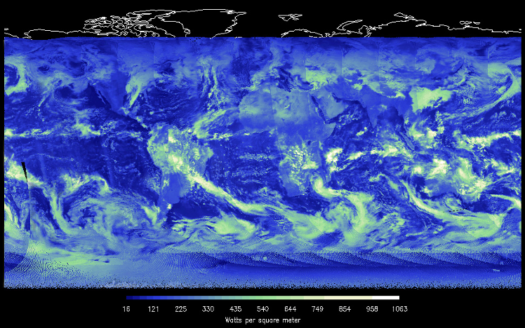
Small Sensor Could Provide Big Insights into Earth’s Radiant Energy
PROJECT DEMonstrating the Emerging Technology for Measuring the Earth’s Radiation Budget (DEMETER) SNAPSHOT A team at NASA’s Langley Research Center is developing a new state-of-the-art sensor and satellite platform to enable continued monitoring of Earth’s radiant energy system. The small,…

Novel Algorithms Merge Ground- and Space-based Data to Forecast Air Pollution Events
PROJECT Predicting What We Breathe (PWWB) SNAPSHOT A NASA-sponsored research team is developing new machine-learning software that uses data from satellites and ground-based sensors to forecast air pollution events in Los Angeles. Soon, this software will become publicly available, potentially…

The ‘Bird’ with an Eagle Eye…for Infrared
PROJECT Mid-Wavelength and Long-Wavelength Infrared Focal Plane Arrays for Earth Science Applications SNAPSHOT NASA is sponsoring development of high-performance infrared sensors with reduced requirements for cooling onboard satellites; these new sensors could potentially be flown on small satellite platforms like…
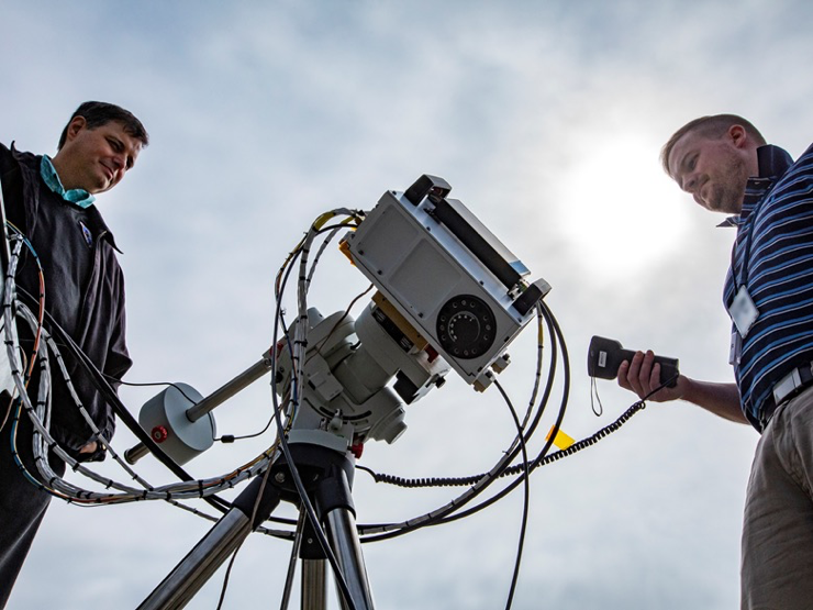
Prototype Ozone Monitoring Instrument Gets Its First Look at The Sun
PROJECT Stratospheric Aerosol and Gas Experiment (SAGE) IV Pathfinder SNAPSHOT The miniaturized SAGE IV Pathfinder instrument may one day enable a constellation of small satellites to continue and enhance atmospheric ozone monitoring. The SAGE IV Pathfinder makes measurements of ozone…

New Radar to Monitor Volcanoes and Earthquakes from Space
PROJECT CubeSat Imaging Radar for Earth Sciences (CIRES) SNAPSHOT To help monitor ground deformation from space, NASA developed a new technology equipped with an S-band Interferometric Synthetic Aperture Radar (InSAR) for a small satellite platform. A global map detailing land…
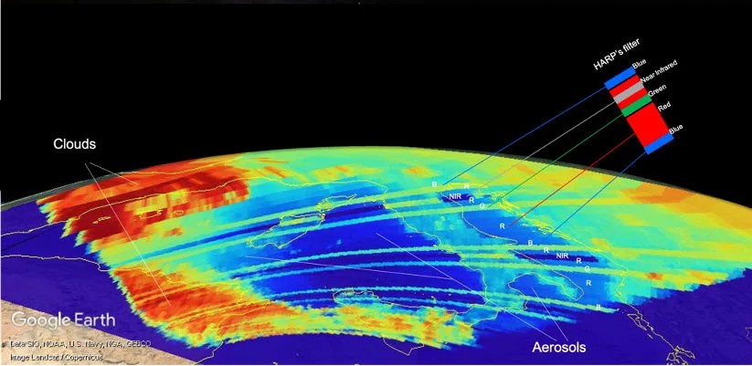
New CubeSat’s First Light Shows Clouds and Aerosols
PROJECT Hyper-Angular Rainbow Polarimeter (HARP) SNAPSHOT HARP aims to help identify air pollution, aerosols and clouds. The Hyper-Angular Rainbow Polarimeter’s measurements help us better understand how clouds and aerosols impact weather, climate, and air quality. The Hyper-Angular Rainbow Polarimeter (HARP)…
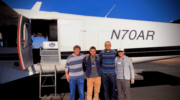
Exploring a New Approach for Measuring Water Vapor on Earth and Mars
PROJECT Vapor Inside-cloud Profiling Radar (VIPR) and WAter Sounding Short-range Radar (WASSR) SNAPSHOT NASA researchers are exploring a new radar-based method to map water vapor both in Earth’s atmosphere and near the surface of Mars. Mapping water vapor is a…
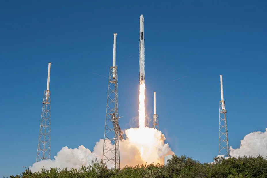
Taking Earth’s Temperature from a Tiny Satellite
PROJECT Compact Infrared Radiometer in Space (CIRiS) instrument on a CubeSat SNAPSHOT To demonstrate for the first time from a small satellite the ability to collect, process and calibrate infrared images of Earth. A new miniature sensor, in conjunction with…
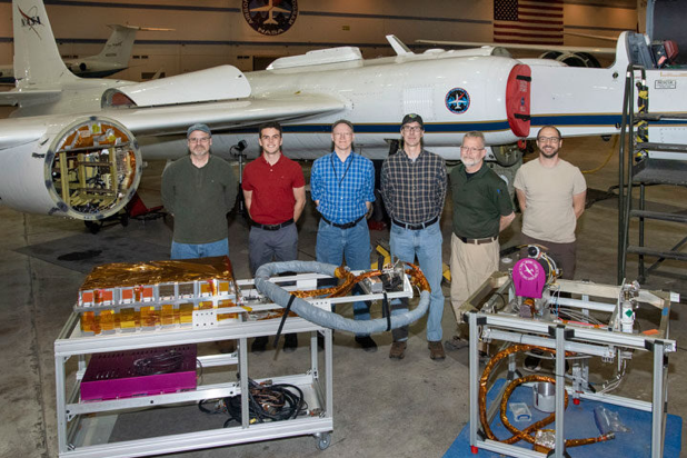
High-flying Moon Sensor Will Help Improve Earth Observations
PROJECT Airborne Lunar Spectral Irradiance Instrument (air-LUSI) SNAPSHOT A new instrument flew aboard a high-altitude NASA plane to measure the Moon’s brightness and help Earth observing sensors make more accurate measurements. A new instrument flew aboard NASA’s ER-2 airplane to…

Big Weather Data from a Tiny CubeSat
This blog post originated in the 2018 Science Mission Directorate Science and Technology Report. PROJECT Temporal Experiment for Storms and Tropical Systems Demonstration (TEMPEST-D) KEY POINTS The TEMPEST-D CubeSat demonstrated low-cost, lowrisk, millimeter wave radiometer technology that will enable constellations…

CubeSat to Demonstrate Innovative Method for Mapping Soil Moisture and Snow from Space
PROJECT Signals of Opportunity Airborne Demonstrator (SoOp-AD) and SigNals of Opportunity: P-band Investigation (SNoOPI) KEY POINTS The SoOP-AD project successfully demonstrated, from aircraft, a new instrument prototype for remote sensing of soil moisture. The SNoOPI project will continue this development…
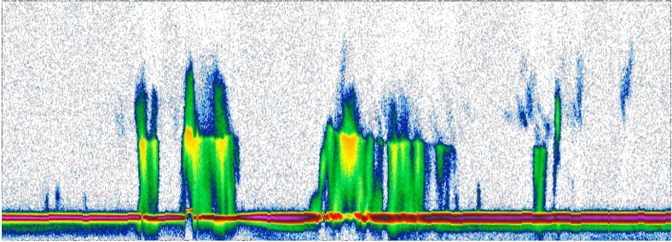
RainCube Demonstrates Miniature Radar Technology to Measure Storms
PROJECT RainCube (Radar in a CubeSat) KEY POINTS RainCube successfully demonstrated Ka-band precipitation radar technology on a low-cost, quick-turnaround platform. This new technology will enable constellations of small spacecraft that can track storms and provide data about how the storms…
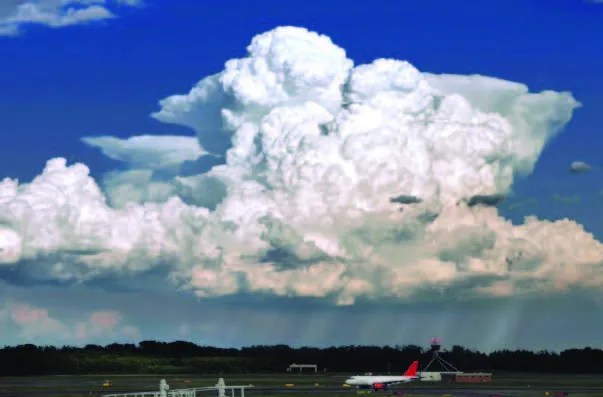
Super Cloud Library Enhances Cloud Process Studies
PROJECT Super Cloud Library KEY POINTS The Super Cloud Library—a big data analysis and visualization tool for Earth science applications—has been infused into the Data Analytics and Storage System (DASS) at the NASA Center for Climate Simulation and is producing…
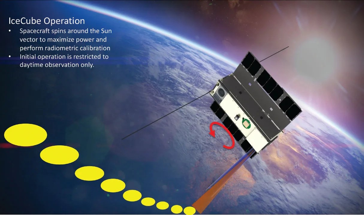
IceCube Demonstrates New Capability to Measure Cloud Ice from Space
Technology Infusion IceCube—a tiny, bread loaf-sized satellite—has produced the world’s first map of the global distribution of atmospheric ice in the 883-Gigahertz (GHz) band. Information about cloud ice enables researchers to better understand Earth’s weather and changing climate. Sensing atmospheric…
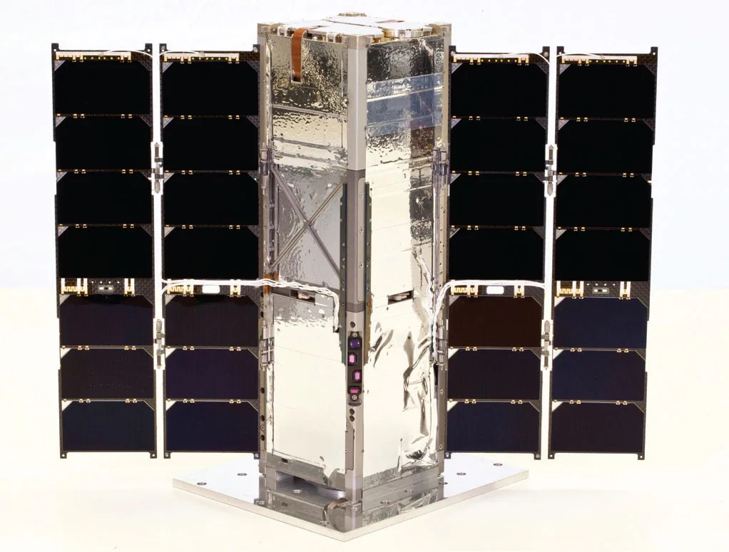
RAVAN CubeSat Successfully Demonstrates Two Radiation Measurement Technologies
Technology Infusion The Radiometer Assessment using Vertically Aligned Nanotubes (RAVAN) CubeSat has met its goal of validating two new technologies to measure Earth’s radiation imbalance—the difference between the amount of energy from the Sun that reaches Earth and the amount…

DopplerScatt’s Simultaneous Ocean Wind and Current Measurements Employed in Two Studies
Technology Development A NASA-developed airborne instrument called DopplerScatt participated in two large-scale oceanographic experiments in April and May of 2017. A Ka-band Doppler scatterometer, DopplerScatt’s ability to take simultaneous measurements of ocean surface winds and water currents is a new…
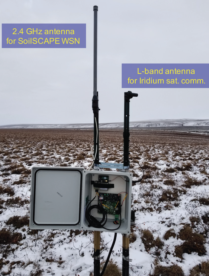
Wireless Networks Gather Soil Moisture Data in the Arctic
Technology Development Accurate measurement of soil moisture is important to numerous fields including agriculture, weather prediction, and the study of climate change. An SMD-sponsored project—the Soil moisture Sensing Controller And oPtimal Estimator (SoilSCAPE)—is helping scientists monitor soil moisture at several…
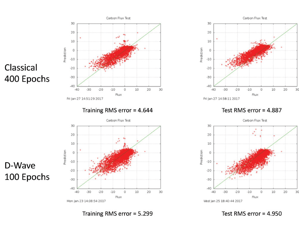
Estimating Carbon Flux with Quantum Computing
Technology Development A NASA-funded team has been exploring the use of quantum annealing computers for a scientifically meaningful application—to estimate the net annual ecosystem carbon flux over land using satellite data. Carbon flux is the exchange process of carbon dioxide…
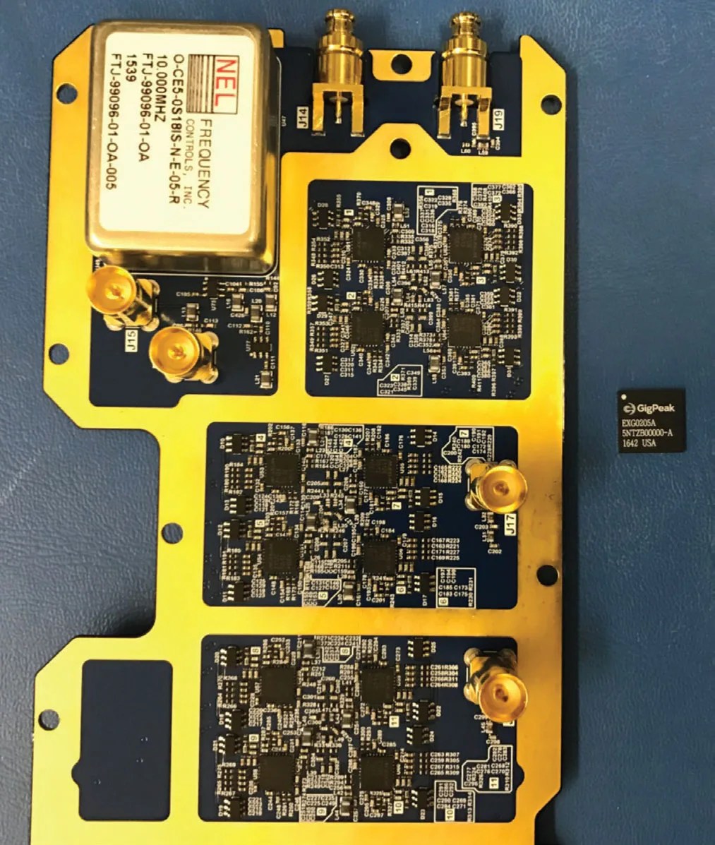
Beamsteerable Circuit to Expand Radio Occultation Measurement Capabilities
Technology Development An SMD-sponsored project successfully designed, fabricated, and tested a new application-specific integrated circuit (ASIC) intended to enable high-quality radio occultation (RO) weather observations using signals from the Global Navigation System Satellite (GNSS) constellations. RO measurements are made when…
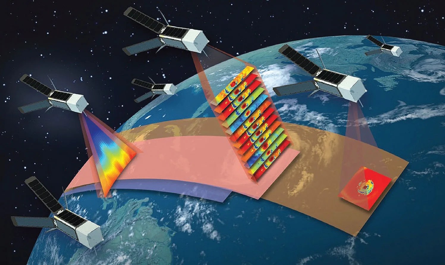
SMD-Sponsored Technologies Infused into Third Set of Earth Venture Instruments
Technology Infusion In March 2016, NASA announced the selection of two proposals—both direct infusions of Earth Science Technology Office (ESTO) projects—under the third solicitation of the Earth Venture Instrument (EVI) program. Managed by the Earth System Science Pathfinder (ESSP) program,…
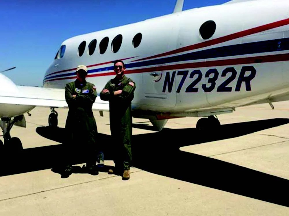
Measurement Validation Flights for DopplerScatt Instrument Show Promise
Technology Development Researchers at NASA JPL have successfully built and demonstrated the first instrument capable of taking simultaneous measurements of ocean surface winds and water currents. DopplerScatt, a spinning Ka-band Doppler scatterometer, conducted several validation flights onboard a Department of…

Tropical Cyclone Information System Updated to Include New Satellite Data Sets
Technology Development The Tropical Cyclone Information System (TCIS) is a tool that fuses hurricane models and observations within a web-based system to improve forecasting capabilities. TCIS provides scientists with the capability to overlay user-selected observational data on top of a…
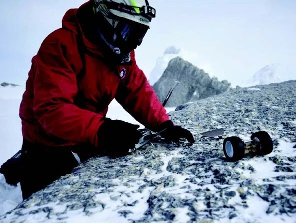
Pop-Up Robots Enable Extreme Terrain Science
This blog post originated in the 2015 Science Mission Directorate Technology Highlights Report (2 MB PDF). Technology Development: A NASA-led team is designing an extremely compact origami rover for new extreme terrain applications in both the planetary and Earth science…
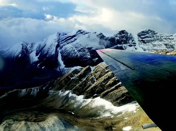
New Method to Remotely Sense Ice Sheet Subsurface Temperature Demonstrated
Technology Development: A new instrument, the Ultrawideband Software-Defined Microwave Radiometer (UWBRAD), aims to provide measurements of ice sheet thermal emission to remotely sense internal ice sheet temperature information. Physical temperature plays an important role in influencing stress-strain relationships in the…
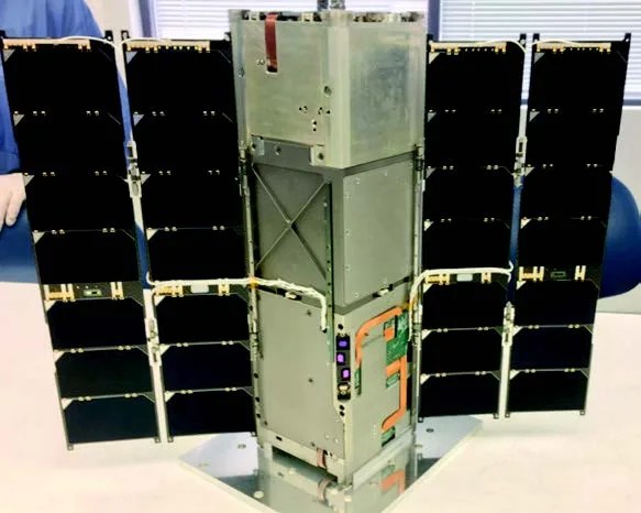
RAVAN CubeSat to Demonstrate New Technology for Radiation Balance Measurements
Technology Development: The Radiometer Assessment using Vertically Aligned Nanotubes (RAVAN) CubeSat mission launched on November 11, 2016 as a secondary payload on a United Launch Alliance Atlas V rocket from Vandenberg Air Force Base. RAVAN will demonstrate that accurate and…
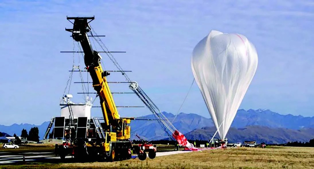
Game-Changing Balloon Technology Enables Near-Global Flight
Technology Infused: After over 20 years of tests and development, NASA’s Balloon Program team is on the cusp of expanding the envelope in high-altitude, heavylift ballooning with its super pressure balloon (SPB) technology. SMD technology investments that enabled development of…

New System Put into Service to Process Nepal Earthquake Data
Technology Infused: On April 25, 2015, a magnitude 7.8 earthquake struck the mountainous nation of Nepal, causing widespread destruction and loss of life. Known as the Gorkha Earthquake, the event was the largest earthquake to strike the country in over…
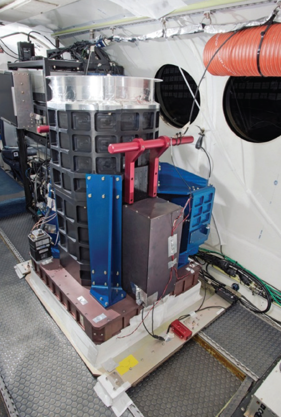
First Flights for CO2-Detecting Lidar
Technology Development: Nearly two decades of NASA technology investment in lidar systems and two-micron transmitters has resulted in a new capability for remotely measuring the carbon dioxide (CO2) levels in Earth’s atmosphere. NASA has developed an Integrated Path Differential Absorption…
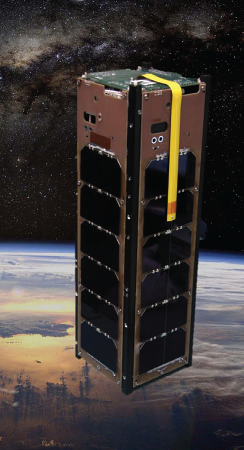
New Atmospheric Detector Technology Demonstrated on a CubeSat
The GEO-CAPE ROIC In- Flight Performance Experiment (GRIFEX) CubeSat was launched from Vandenberg Air Force Base on Saturday, January 31, 2015, as an auxiliary payload to the Soil Moisture Active Passive (SMAP) mission. Technology Development: The GEO-CAPE ROIC In- Flight…
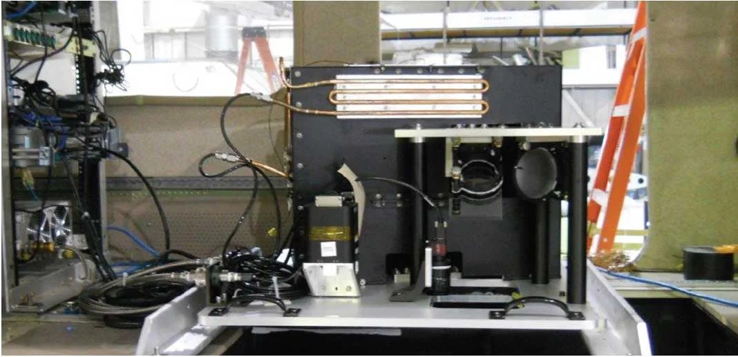
Test Flights Demonstrate New Concept for Ocean Color Retrieval
Technology Development: The Multi-Slit Optimized Spectrometer (MOS) prototype instrument is an airborne sensor designed to demonstrate and validate the multislit concept for hyperspectral ocean color retrievals with real-world scenes. The instrument design represents a new option for hyperspectral sensing: MOS…

Measuring Snow to Manage Water Resources
Technology Development: The Wideband (8-40 GHz) Instrument for Snow Measurement (WISM) is designed to accurately measure snowpack on the ground from an airborne platform. WISM is comprised of a dual-frequency (X- and Ku-bands) Synthetic Aperture Radar (SAR) and a dual-frequency…

