PROJECT
Compact Infrared Radiometer in Space (CIRiS) instrument on a CubeSat
SNAPSHOT
To demonstrate for the first time from a small satellite the ability to collect, process and calibrate infrared images of Earth.
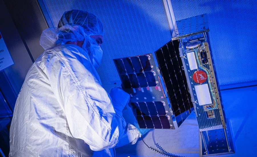
A new miniature sensor, in conjunction with robust data processing techniques, is enabling a satellite the size of a backpack is to reveal Earth’s temperature from space. The Compact Infrared Radiometer in Space instrument on a CubeSat, also known as CIRiS, began its orbit around Earth on Jan. 31, 2020, following its launch from Cape Canaveral Air Force Station in Florida to the International Space Station on Dec. 5, 2019.
CIRiS aims to collect, process and calibrate infrared images of Earth. “If we can do this, we have greatly increased the value of the data for Earth science applications, as well as land and water management,” David Osterman, the CIRiS Principal Investigator at Ball Aerospace, said.
Even before CIRiS left Earth, NASA funded its sibling, L-CIRiS, which has an “L” for lunar, to head to the Moon and use similar instruments to identify lunar minerals. L-CIRiS will also be built by Ball Aerospace and was selected as part of NASA’s Artemis lunar program, which will help NASA send astronauts to the Moon by 2024 as a way to prepare to send the first humans to Mars.

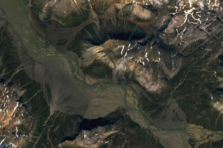
The Earth observing CIRiS CubeSat measures Earth’s surface temperature by miniaturizing a number of components and eliminating others that conventional instruments use to collect longwave (infrared spectrum) images. These images indicate hot and cold regions as colors on a “heat map” display.
Once CIRiS collects these images, it calibrates them while in orbit, which means it assigns validated numerical values to each pixel. “Calibration allows you to take data and move them a step further to where they have scientific significance and can contribute to actual science,” Osterman said. Not only can you see if a stretch of land is warmer than its surroundings, you can see by how much.
CIRiS collects infrared energy and uses a “focal plane” to convert that energy to an electrical signal, similar to how a digital camera turns visible light energy into an electrical signal. Many focal planes for infrared detection require operation at cryogenic temperatures, and therefore must incorporate a cryocooler to establish those temperatures, Osterman said. The team decided to use a different type of focal plane that operates without cryocooling to decrease the sensor’s size.
“Calibration allows you to take data and move them a step further to where they have scientific significance and can contribute to actual science.”
-David Osterman
Although CIRiS’s focal plane doesn’t have the same level of sensitivity as a larger focal plane with a cryocooler, it hopes to make up for any deficiencies with robust abilities to process the data. “We’re trying to substitute software performance for hardware performance,” Osterman said. The software aspect, or data processing, is initiated on the spacecraft and then continues after the data are downlinked to the ground.
Data collected by CIRiS can be compared with images from other NASA thermal sensors currently in space, such as the ECOsystem Spaceborne Thermal Radiometer Experiment on Space Station (ECOSTRESS). Collectively, NASA research instruments like CIRiS and ECOSTRESS help to identify optimal sensor characteristics that can be transitioned into long-term monitoring programs, Martha Anderson, a scientist with the USDA’s Agricultural Research Service in Beltsville, Maryland, said.
If CIRiS is successful in proving it can operate in space, Osterman hopes to see a small constellation of CIRiS-like instruments orbiting Earth. Multiple CubeSats in orbit would allow us to measure changes in evapotranspiration and other phenomena potentially as often as every day.
“It’s been really exciting to see how small instruments and spacecraft can contribute to our understanding of Earth and eventually the Moon,” Osterman said.
PROJECT LEAD
David Osterman, Ball Aerospace
SPONSORING ORGANIZATION
Earth Science Division, In-Space Validation of Earth Science Technologies (InVEST) Program