


In 2017, NASA's Operation IceBridge flew for the ninth year over Antarctica to map the ice. This video features photographs of land ice and sea ice, shot with a handheld camera and with the Digital Mapping System (DMS), during IceBridge flights in November 2017.
1 min read
Antarctica From Above
Share
Details
Last Updated
Feb 10, 2026
Related Terms
You might also be interested in

Signs of Thaw in the Bering Sea
3 min read
Drifting sea ice fragments near Alaska’s Saint Lawrence and Nunivak islands and colorful water around the Yukon Delta heralded the…
Article

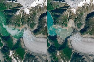
Tyndall’s Trail of Bergs
4 min read
Ice splintered off the southern Patagonia glacier and drifted across a growing glacial lake.
Article
Tracy Arm’s Post-Tsunami Landscape
4 min read
A landslide-triggered tsunami stripped vegetation from the shore of the glacial fjord in summer 2025.
Article


