























September 4, 2002
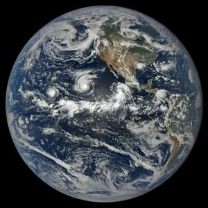
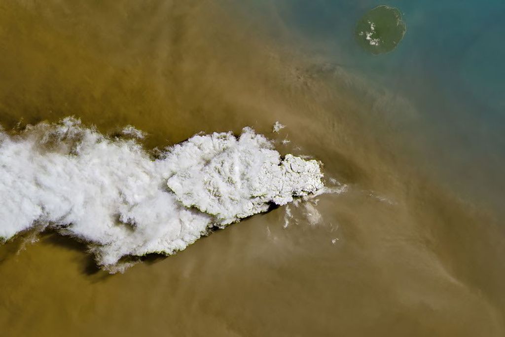
Hurricane Ele can be seen in the central Pacific in this true-color image taken on September 4, 2002, by the Moderate Resolution Imaging Spectroradiometer (MODIS), flying aboard NASA’s Terra spacecraft. When this image was taken, the typhoon was several hundred miles east of the International Date Line and making its way north through the Pacific, packing sustained winds of up to 92 miles (148 kilometers) per hour. Since then the hurricane has changed direction and is now heading northwest with winds of only 75 miles (120 kilometers) per hour. Over the next twelve hours, the hurricane should drop in intensity to a tropical storm
References & Resources
Image courtesy Jacques Descloitres, MODIS Land Rapid Response Team at NASA GSFC.