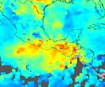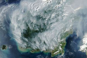






















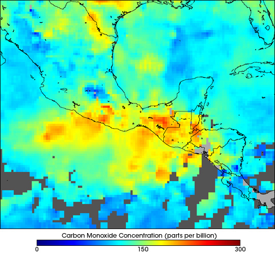
The large number of fires that have been burning in southern Mexico and parts of northern Central America over the last two months have produced high concentrations of carbon monoxide (CO) in the lower atmosphere over the region. This false-color map of CO concentrations was acquired by the Measurements of Pollution in The Troposphere (MOPITT) instrument on NASA’s Terra satellite. The image shows the mixing ratio of CO atabout 3 km (700 hPa) above the surface for May 3-8, 2003. A true-color image collected by the Terra MODIS sensor shows the extent of the fires and smoke during that same time period.
Carbon monoxide is a good tracer of pollution since it is produced as a by-product of the combustion associated with wildfires and agricultural fires. The reds in this image show the highest levels of CO and blues show the lowest levels. The gray areas show where no data were collected, either due to persistent cloud cover or gaps between viewing swaths.
References & Resources
Image courtesy the NCAR and University of Toronto MOPITT Teams