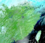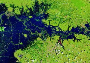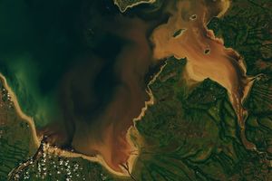

Weeks of rain in central and southern China have produced severe flooding along numerous rivers. More than 2 million people have been displaced, and government officials have faced the difficult decision of having to destroy existing dykes to allow rivers to spread out into farmland in order to prevent more severe flooding in urban areas.
In this Moderate Resolution Imaging Spectroradiometer (MODIS) image from July 12, 2003, shows southeastern China through a break in the clouds, which have hung over the region for weeks. The splashes of blue against the green vegetation show standing floodwaters along the Yangtze River. At top center, several blue splashes stand out from cloud. This is the Huai River, where flooding is particularly severe.
References & Resources
Image courtesy Jesse Allen, based on data from the MODIS Rapid Response Team at NASA GSFC .