





















October 21, 2003
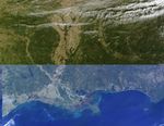
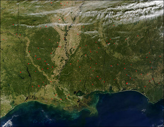
Even if the vegetation doesn’t give much hint of the turning of the seasons, the number of fires spread across the southern U.S. is its own indication of fall. Land managers often conduct prescribed burns in fall, and the majority of the ones marked in red in this Moderate Resolution Imaging Spectroradiometer (MODIS) image from the Terra satellite on October 21, 2003, are likely that type of fire.
The high-resolution image provided above is 500 meters per pixel. The MODIS Rapid Response System provides this image at MODIS’ maximum spatial resolution of 250 meters.
References & Resources
Image courtesy Jacques Descloitres, MODIS Rapid Response Team at NASA GSFC