









Suggested Searches

1 min read

Hurricane Ivan

Instruments:
2004-09-10 00:00:00
September 10, 2004

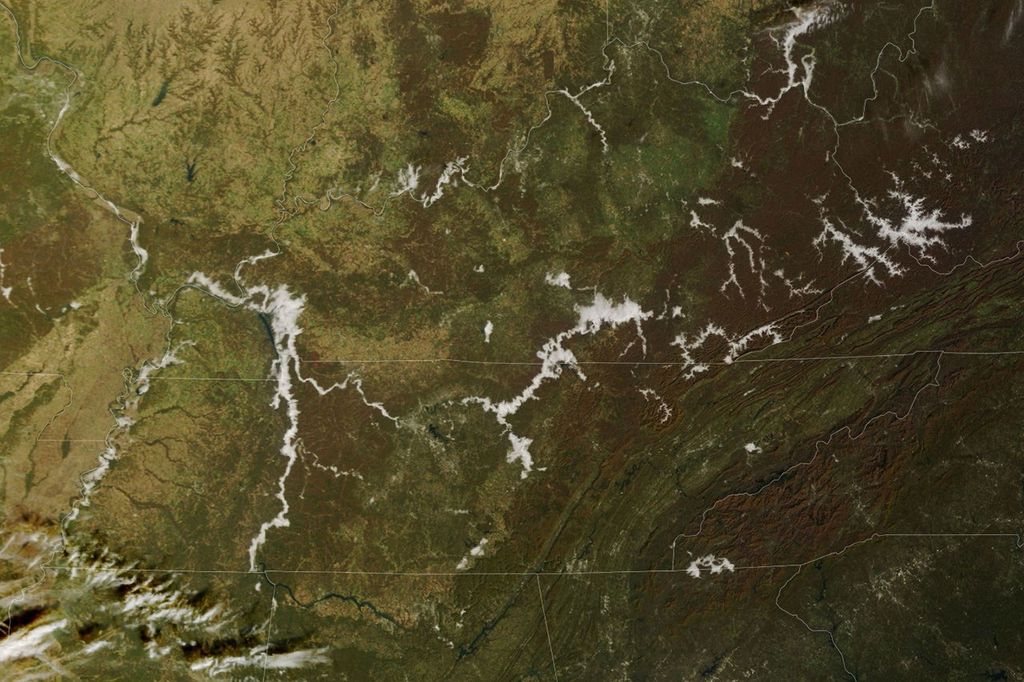
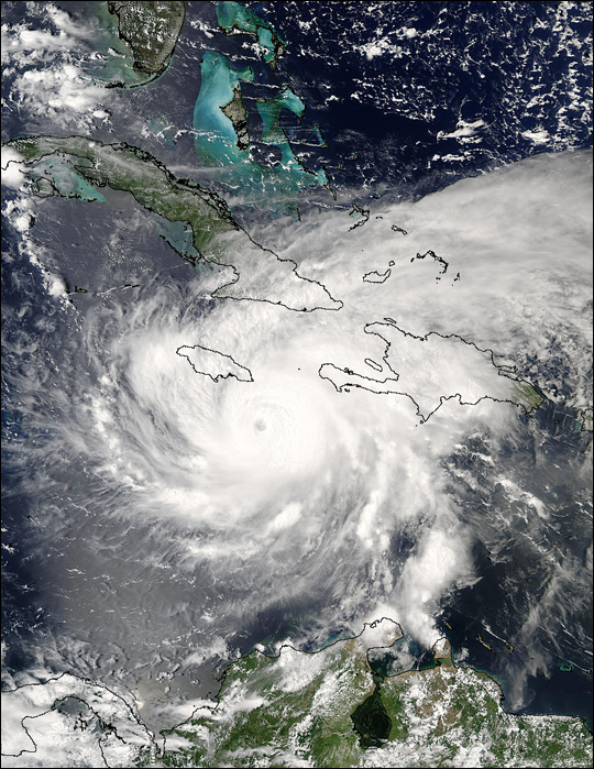
The MODIS instrument aboard NASA's Aqua satellite captured this true-color image of Hurricane Ivan on Septebmer 10, 2004 at 18:30 UTC (2:30 PM EDT). At the time this image was taken Ivan was located approximately 140 km (85 miles) south-southeast of Kingston, Jamaica and was moving towards the west-northwest at 19 km/hr (12 mph). Ivan had maximum sustained winds of 230 km/hr (145 mph) with higher gusts.

The MODIS Rapid Response System provides this image at additional resolutions and formats.

References & Resources

NASA image courtesy Jacques Descloitres, MODIS Land Rapid Response Team at NASA GSFC.
You may also be interested in:

Stay up-to-date with the latest content from NASA as we explore the universe and discover more about our home planet.

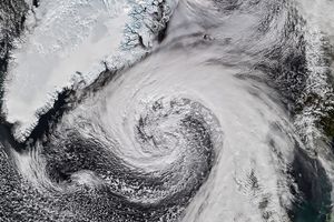
Extratropical Cyclone Whips Past Iceland
2 min read

The powerful low-pressure system formed over the North Atlantic out of the remnants of Hurricane Isaias.

Article
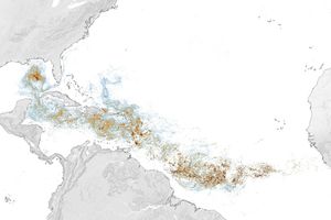
Sizing Up the Sargassum Belt
6 min read

Seaweed composing the Great Atlantic Sargassum Belt hit near-record levels in June 2026, with the Caribbean Sea and Gulf of…

Article
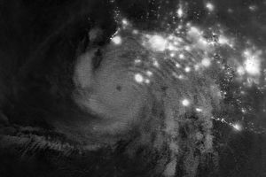
Hurricane Simon Lurks Off the Mexican Coast
3 min read

Though it remained offshore, the storm lashed coastal areas with high winds and flooding—and produced remarkable rippling patterns in the…

Article